GeoMAD is a data service that condenses satellite imagery into a high quality image that represents a specific time period. It creates a statistically significant composition for a clear picture of what is on the ground. The suite of GeoMAD services available are:
- Semi-annual GeoMAD (Sentinel-2)
- Annual GeoMAD (Sentinel-2 or Landsat 8)
- Rolling GeoMAD
As well as being a great choice for producing high quality images, GeoMAD is also useful when analysing change over a specific time period. For example, the semi-annual GeoMAD service can be used to observe seasonal changes of a specifc area covered in rainforest and identify changes in vegetation cover. Rolling GeoMAD on a monthly basis using a three-month rolling window.
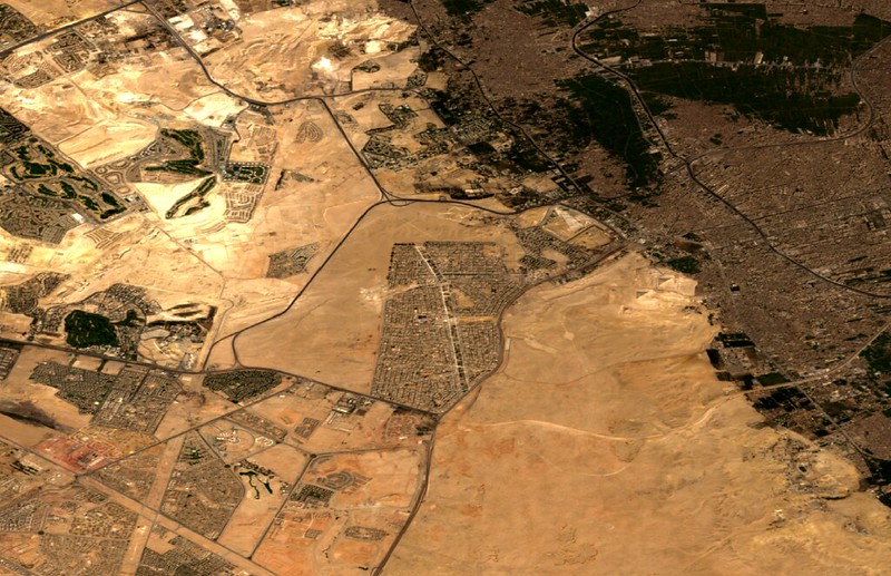
The composite nature of the GeoMAD service also provides improved summaries for areas of high rainfall, which can be cloudy in individual daily captures. The GeoMAD service can also be used to observe the impacts of coastal erosion, flooding and urbanisation.
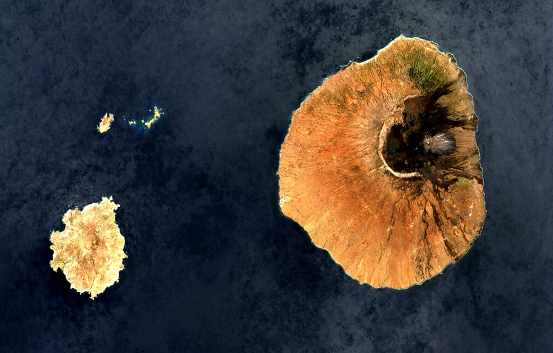
The service combines the surface reflectance values over the specified time period to create a representative value (the geomedian) for each pixel. This can be used to generate true-colour images that represent what is on the ground.
Using GeoMAD allows for better correction of cloud cover and can reduce noise for multi-year comparisons. The addition of a semi-annual GeoMAD allows for greater visibility of seasonal variations and to observe rapidly changing landscapes.
You can explore the versatility of GeoMAD data from Digital Earth Africa Map by navigating to Surface Reflectance, rolling GeoMAD, Annual GeoMAD (Sentinel-2 or Landsat 8) or semi-annual GeoMAD (Sentinel-2), in the catalogue and selecting options from the “Style” dropdown menu.
- Birds-eye view: inspect continental Africa from above as it appears to the human eye by selecting Geomedian - Red, Green, Blue
- Highlight vegetation and water features using the infrared spectrum with Geomedian - SWIR, NIR, Green
- Visualise metrics of annual change using Median Absolute Deviations MADs - SMAD, EMAD, BCMAD, or focus on arid land variation with MADs (desert) - SMAD, EMAD, BCMAD
- Identify likely areas of green vegetation with the Normalised Difference Vegetation Index, calculated in NDVI - Red, NIR
- Locate water and water bodies with commonly-used indices: Normalised Difference Water Index NDWI - Green, NIR *and the Modified Normalised Difference Water Index *MNDWI - Green, SWIR
- Assess water quality using the Normalised Difference Chlorophyll Index *NDCI Red Edge, Red* (Sentinel-2 GeoMAD products only)
For more information about GeoMAD, view the product details on Digital Earth Africa Docs or explore the Map.