Digital Earth Africa
Satellite Data for Sustainable Development
The Challenge
Leveraging Satellite Data for Sustainable Development
For decades, satellites have captured images of Africa’s terrestrial surfaces and coastal zones, offering valuable information on land and water resources and the human and climate impact on them. While a valuable asset to the African economy, Earth observation data has yet to be exploited to its full potential. The complexity of using these large volumes of data which are challenging to access from the African continent, and further require capacity to prepare, analyse and turn into actionable insights, have contributed to this underutilisation.
Driving Progress Towards Sustainable Development Goals (SDGs)
Digital Earth Africa supports all of Africa to drive progress towards the national development priorities and global challenges such as the UN 2030 Agenda for Sustainable Development.
Supporting Africa’s Vision Through Agenda 2063
DE Africa also contributes directly to enabling Earth Observations (EO) in Africa that work towards the African Union’s Agenda 2063 framework.
The African Union states that Agenda 2063 is “Africa’s blueprint and master plan for transforming Africa into the global powerhouse of the future. It is the continent’s strategic framework that aims to deliver on its goal for inclusive and sustainable development and is a concrete manifestation of the pan-African drive for unity, self-determination, freedom, progress and collective prosperity.”
Goal 1
A high standard of living, quality of life, and wellbeing for all citizens.
Goal 5
Modern agriculture for increased productivity and production.
Goal 6
Blue/ocean economy for accelerated economic growth.
Goal 7
Environmentally sustainable and climate-resilient economies and communities.
The Solution
A Data Cube for All of Africa
Digital Earth Africa offers an operational data infrastructure that makes more than three decades of historical satellite images, as well as near real-time updates, freely available and openly accessible across the entire African continent. By providing these in an analysis-ready format, as well as transforming the data into decision-ready information, Digital Earth Africa removes barriers to access and to effective use of Earth observation data for Africa. Launched in 2019, Digital Earth Africa now hosts more than six petabytes of data stored in Amazon Web Services Africa region (Cape Town), ensuring a secure and high-performing service.
ODC Technology
Digital Earth Africa leverages Open Data Cube (ODC) technology to simplify the management of vast data archives. The ODC, a not-for-profit open-source project and community, was created and is facilitated by the Committee on Earth Observation Satellites (CEOS), with the Australian Geoscience Data Cube (AGDC) as its initial implementation.
Application for Decision Makers
By equipping decision makers – from governments to community leaders – with accessible datasets that can be used to inform evidence-based, data-driven insights, Digital Earth Africa’s cloud based digital infrastructure provides a compelling tool to help Africa sustainably manage its natural resources and mitigate the impacts of climate change.
The Impact
Action for Impact
October 6, 2025
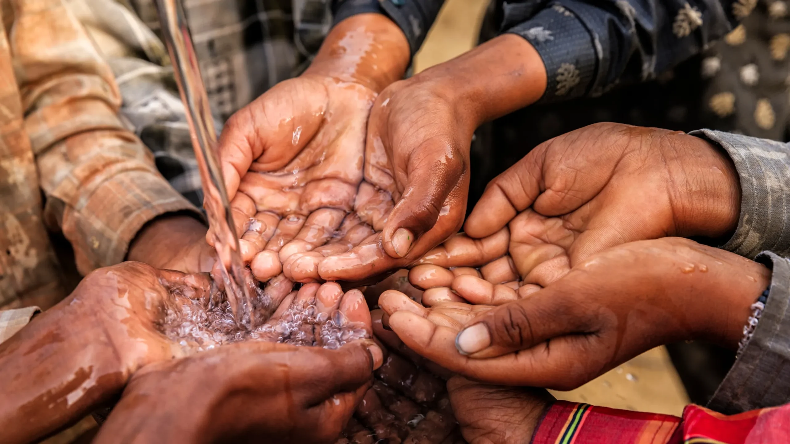
Empowering Africa’s water stewardship with EO data: Inside the SDG Water Quality Notebook

July 28, 2025
Mapping the future of African agriculture: Ground Truth Analytics taps into Digital Earth Africa
Related Focus Areas

Agriculture & Food Security
A central focus for governing bodies in Africa is to secure the necessary food sources so their populations can access safe and nutritious food to meet dietary requirements.
Enabling Climate Action
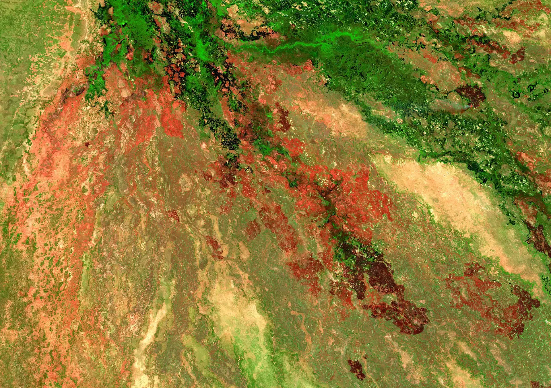
Africa is at the frontline of the climate crisis. The human and economic impacts of climate extremes such as droughts, flooding and rising sea levels are already being felt across the continent.
Land Degradation & Coastal Erosion
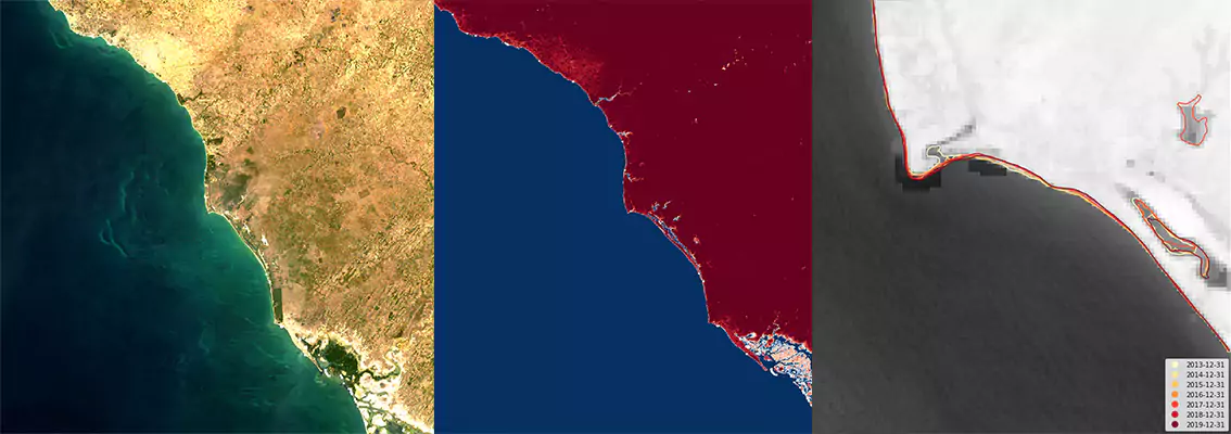
Land degradation and coastal erosion affect millions in Africa, threatening food security, water access, and causing displacement and economic losses.
Water Resources & Flood Risks
Africa faces more frequent water disasters, like floods, causing widespread destruction and hundreds of fatalities across the continent.
Urbanisation
Urbanisation rates show city growth and sustainability challenges. Rapid growth strains infrastructure, causing congestion, pollution, and housing shortages.
 English
  Português
  Français
  العربية