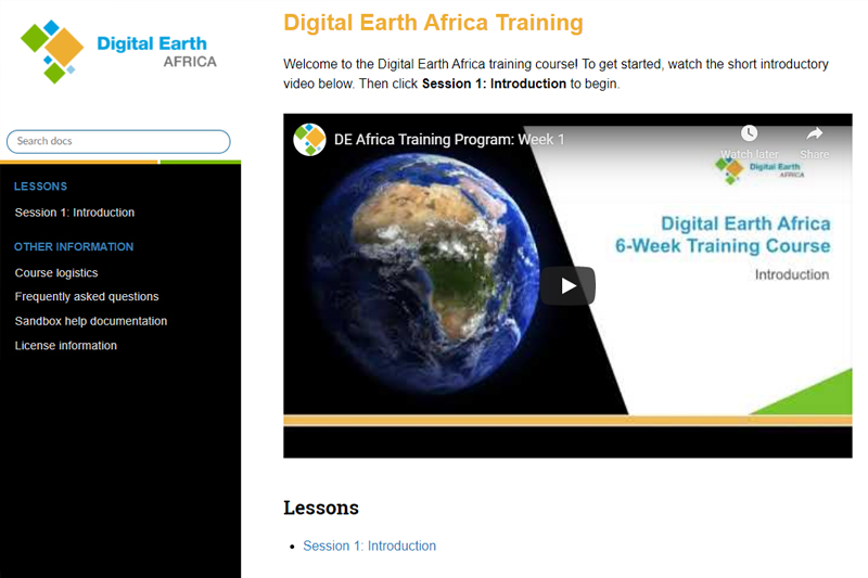
This week we kicked off a six week training program as part of the transition to Digital Earth Africa’s (DE Africa) continental-wide infrastructure from the Africa Regional Data Cube (ARDC) currently supporting Ghana, Kenya, Senegal, Sierra Leone and Tanzania.
Following feedback from users through one-on-one interviews, the DE Africa Transition Team have designed the six week training program to ensure users can work autonomously on the DE Africa platform. As requested by users, the training material includes modules made up of videos and recorded tutorials, manuals with hands-on exercises, live workshops and time with experts to get further help.
Learning outcomes
The program is being developed iteratively based on feedback from each week and by the end of the training, it is expected that users:
- can access the sandbox
- understands notebook folder structure
- understands how to copy example notebooks
- can run copied notebooks
- can change the location and re-run the analysis (knows how to convert coordinates of interest into lat, lon, buffer, select from map widget, or change input to eastings and northings and have it converted)
- understands type of satellite imagery available on the sandbox (Landsat and Sentinel-2)
- understand the basic layout of a real world notebook.
What did week one look like?

Week one has provided users with an introduction to the DE Africa platform and various ways to access the satellite data and products, and how to navigate the DE Africa Sandbox environment. Live sessions hosted by our Technical Manager, Edward Boamah, and User Engagement Manager, Kenneth Mubea gave users a chance to ask questions and discuss potential use cases to explore. We look forward to the following five weeks!