Agriculture remains the backbone of many African economies, yet it faces persistent challenges such as climate change, food security, and resource management. To address these concerns, AGRHYMET, in collaboration with Digital Earth Africa (DE Africa), is conducting fieldwork in Niger and Burkina Faso aimed at improving agricultural monitoring through satellite imagery and Earth Observation (EO) data. This initiative seeks to enhance the accuracy and timeliness of crop mapping, supporting sustainable farming practices and data-driven decision-making across the continent.
Accurate crop identification via satellite imagery is crucial for multiple reasons. Understanding what crops are grown, their locations, and how they change over time helps predict food production and mitigate potential shortages or surpluses. It also provides insights into climate resilience by monitoring how crop growth patterns respond to environmental changes. In addition, precise crop mapping enables better resource management, optimizing the use of water, fertilizers, and other agricultural inputs. For policymakers, farmers, and agribusinesses, this information translates into improved supply chain efficiency and market insights.
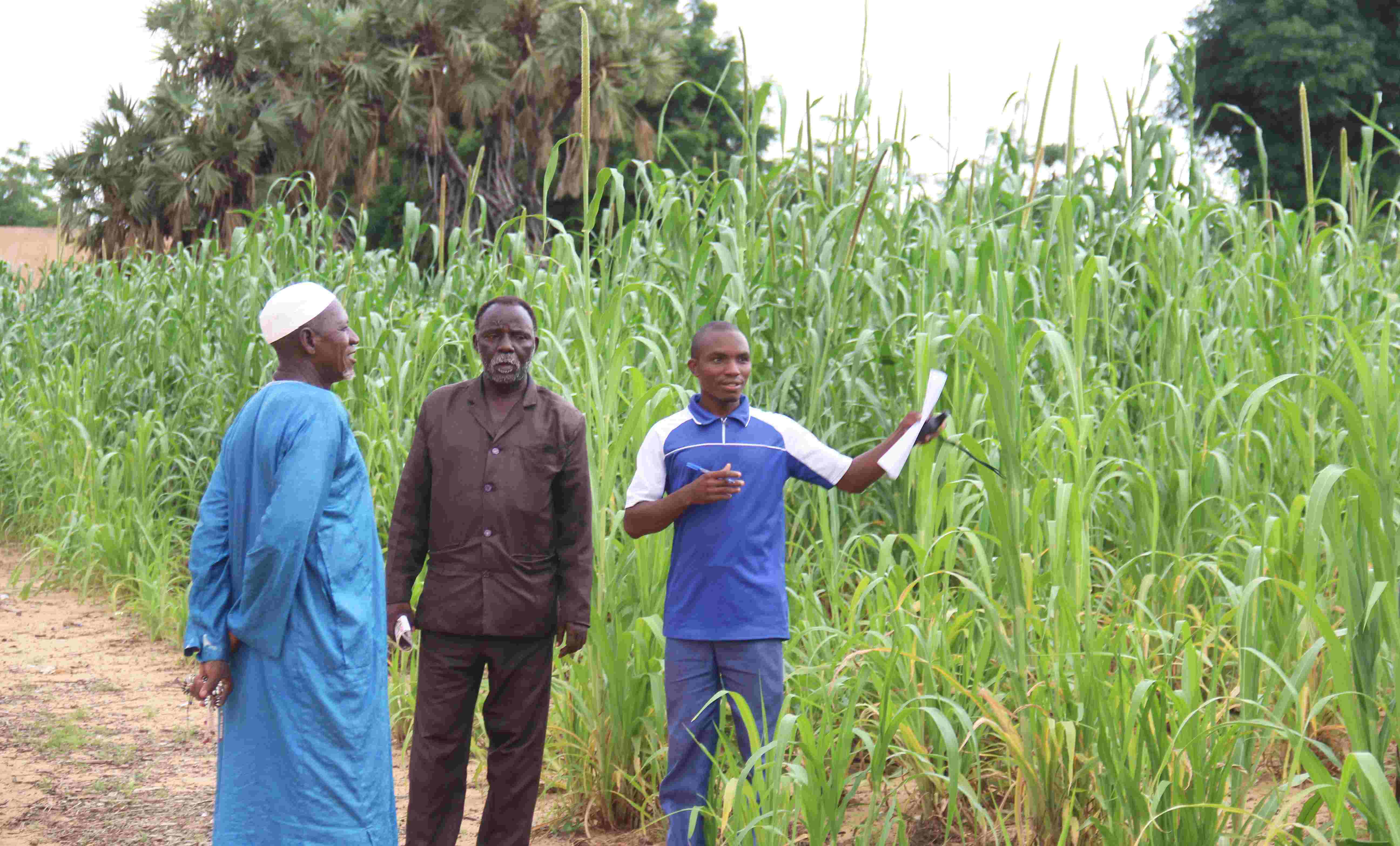
AGRHYMET and DE Africa’s approach to crop identification combines advanced satellite analysis with on-the-ground verification. Using DE Africa’s EO platform, researchers analyse high-resolution imagery from Sentinel-2 and Landsat satellites, applying AI-driven models to classify crop types based on spectral signatures. Historical data comparisons help detect trends in agricultural practices, providing a comprehensive view of changes over time. However, satellite-based classification requires validation to ensure accuracy. Field teams visit specific locations to verify the satellite data, collecting GPS-tagged photographs and observations. Engaging with local farmers further ensures that the mapped data reflects real-world agricultural activities.
Once both satellite and field data are collected, they are integrated to refine classification models and develop detailed crop distribution maps. These insights are then made accessible to governments, researchers, and farmers, contributing to enhanced agricultural planning and food security strategies. The ultimate goal is to strengthen Africa’s capacity for precision agriculture while advancing sustainability and economic growth.
As AGRHYMET and DE Africa continue their fieldwork, their collaboration highlights the transformative power of EO technology in revolutionizing African agriculture. This initiative marks a significant step toward harnessing space-based data for practical, on-the-ground solutions, ensuring that farming communities are equipped with the knowledge and tools needed to thrive in a changing world.