The Regional Centre for Mapping of Resources for Development (RCMRD), supported by Digital Earth Africa, have completed a groundbreaking field mission to monitor and mitigate coastal erosion in Comoros. This initiative is a crucial step toward safeguarding Comoros' fragile coastline while addressing environmental challenges impacting local communities and industries.
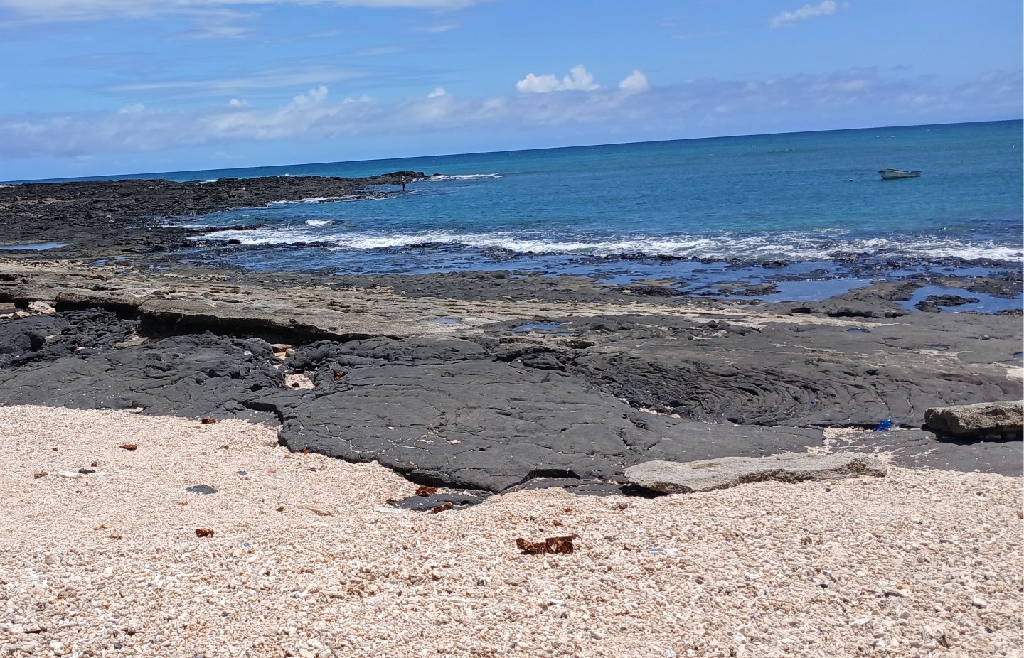
Comoros, with an exclusive economic zone 85 times larger than its land area, depends on its coastlines. Approximately 41% of its population lives along the coast, and 16% rely on fishing for their livelihoods, contributing 10% to the national GDP. However, escalating coastal erosion and related issues—caused by rising sea levels, human activity, and natural hazards—pose significant threats to the nation’s marine ecosystems, infrastructure, and economic stability.
The government of Comoros is committed to acting in response to these issues by improving water governance and infrastructure.
A collaborative mission for coastal resilience
Led by RCMRD in collaboration with the Comoros Cartographic Unit and Bureau Géologique des Comores, the mission leveraged geospatial technology including freely available earth observation data from Digital Earth Africa to monitor vulnerabilities and support data-based management of Comoros' vulnerable shorelines. The mission aimed to validate recently developed modules for coastal erosion mapping, while strengthening stakeholder collaboration on the ground.
A multi-disciplinary team including GIS experts, data analysts, and local cartographers conducted field surveys using advanced tools like the cloud-based Digital Earth Africa Sandbox platform and Kobo Toolbox, collecting vital data on erosion rates and causes.
Key findings reveal 89 coastal erosion hotspots, predominantly in Grande Comore (60 locations) and Moheli (19 locations). Coastal erosion is endangering schools, businesses, infrastructure, and agricultural lands, demonstrating a critical need for targeted interventions.
"Coastal erosion is more than an environmental issue—it’s an economic and social threat," said Dr Lisa-Maria Rebelo, Acting Managing Director and Lead Scientist at Digital Earth Africa. "This project shows how Earth observation technology can provide actionable data to inform prevention strategies and long-term planning. By simplifying access to advanced Earth observation data, Digital Earth Africa plays a crucial role in fostering resilience and sustainable coastal development across the continent."
Opportunities and challenges
The mission highlighted the region's rugged terrain, extreme heat, and restricted site accessibility as significant hurdles. Despite these challenges, collaboration with local institutions—such as Moheli National Park and the Geological Bureau of Comoros—showcases promising opportunities for sustainable coastal management. These partnerships, coupled with targeted training initiatives, will enhance local capacity to address future risks.
Future steps towards coastal sustainability
Moving forward, integrating these data insights into national environmental strategies and stricter controls on activities such as sand harvesting will be essential, says Dr Rebelo. To further strengthen resilience, RCMRD and Digital Earth Africa aim to enhance capacity building for local farmers, fishers, and infrastructure managers, bringing a collaborative and holistic approach to coastal conservation.
"Coastal protection doesn't just preserve geography—it safeguards livelihoods, enhances resilience, and protects future generations," added Dr Rebelo. "Digital Earth Africa and RCMRD remain committed to working alongside Comoros’ institutions to ensure the sustainability of this initiative. By leveraging Earth observation data, the nation can safeguard its coastal heritage, protect vulnerable communities, and build resilience against the forces of nature."
This mission marks the beginning of an innovative chapter for Comoros as stakeholders utilise geospatial intelligence for progressive coastal management. To learn more about the coastal erosion monitoring initiative, visit Digital Earth Africa and RCMRD at www.rcmrd.org.