Over the last few decades, coastlines in Kenya, Tanzania and Senegal have undergone significant shifts, shaped by climate pressures and human development. Important heritage sites that include Swahili mosques, late stone age sites, ancient coastal trading settlements, and colonial-era buildings that once stood firm on solid ground are now threatened by erosion, rising seas, or burial under layers of silt. Some have already disappeared. For the communities living in these coastal areas, changing coastal conditions present clear risks to livelihoods and settlements. For the archaeological sites rooted in those same spaces, it poses a quieter, longer-term challenge that is only now beginning to come into focus.
Research, led by geospatial scientist and postdoctoral researcher at the British Institute in Eastern Africa, Dr Pamela Ochungo, along with a team of researchers, has taken a unique approach to better understand the preservation of African heritage sites; namely, to marry archaeology with satellite science. The goal hasn’t just been to map the evolving coastlines, but to understand how those changes intersect with sites along Africa’s coast that stand testament to the continent’s rich and diverse history. The outcome is a new digital dataset that documents the distribution and characteristics of archaeological sites in Kenya, Tanzania, and Senegal, combining diachronic coastal change analysis using advanced remote sensing.
Preserving Africa’s coastal heritage

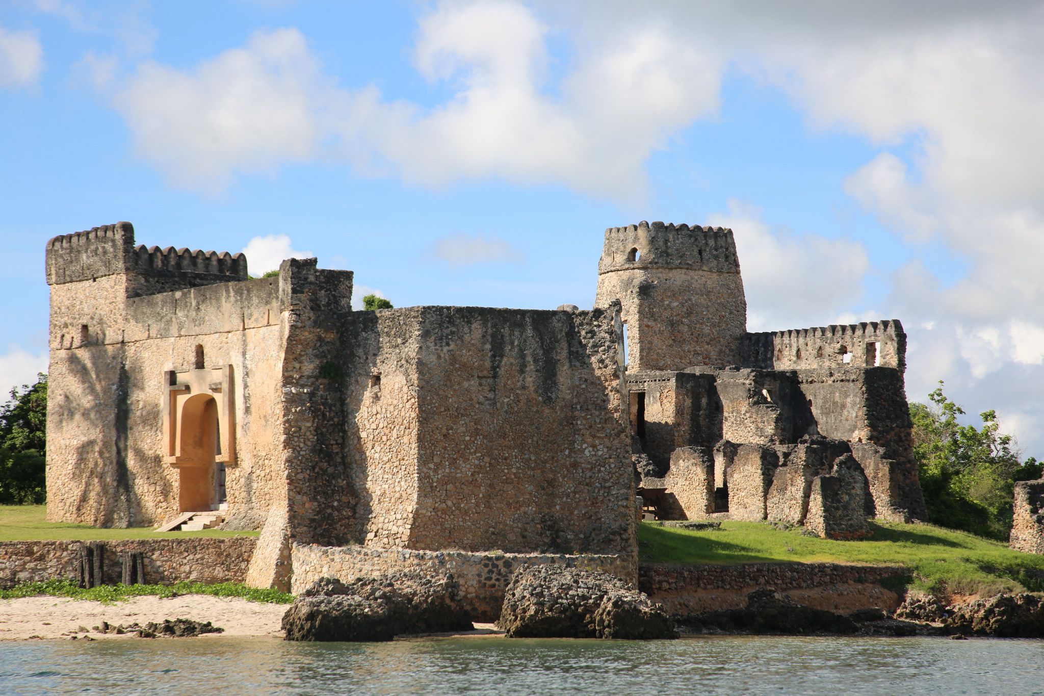
A number of UNESCO World Heritage sites are located along the coasts of Kenya, Tanzania and Senegal. These include, among others, Kenya Lamu Old Town, the oldest and best-preserved Swahili settlement in East Africa; Songo Mnara in Tanzania, which is a Medieval Swahili stone town that was occupied from the 14th to 16th centuries; and Gorée Island in Senegal, a small island off the coast of Dakar that served as Africa’s largest slave-trading centre from the 1400s to 1800s.
Additionally, there are numerous unlisted heritage sites that historically have been less robustly monitored given a dearth of documentation about them. Dr Ochungo and team’s research draws on archaeological sites from the MAEASaM database (a digitization project that seeks to identify and document endangered archaeological African heritage sites), and layers this with Earth observation data.
Leveraging Digital Earth Africa’s services
Ochungo et al utilised Digital Earth Africa’s tools and services to undertake comprehensive shoreline mapping and temporal changes in selected areas over a near-forty-year period (from 1984 to 2023). The analysis included the application of the Modified Normalized Difference Water Index (MNDWI) to detect quantitative shoreline alterations, as well as Digital Earth Africa’s coastal erosion workflow and the coastlines data repository, to analyse annual shorelines and erosion rates.
The result is a robust geospatial dataset that allows researchers to pinpoint which sites are at risk, which ones have already been affected, and where protection efforts might be most needed.
In the Saloum Delta of Senegal, an important site for artefacts and burial grounds, the vast majority of sites (80 percent) were unaffected by coastal change. But of those that did experience change, erosion was seen to be more prevalent than coastal growth. However, in Mombasa, the analysis revealed significant coastal changes. Of 36 heritage sites, approximately 39 percent were seen to have experienced coastal retreat. Ten of the affected sites face an average erosion rate of about 17.2 metres per year. On Pemba Island in Tanzania, an island with a vibrant trading, agricultural, and religious history, 17.9 percent of 39 heritage sites were seen to experience coastline retreat, and 7.7 percent coastal growth. The research shows a mean annual retreat rate, indicating erosion as the more common trend among the sites that had undergone change. The shoreline growth recorded near many sites can create a separate challenge of sediment accumulation that could lead to burial and eventual urban development over time.
Data to drive action
What sets Ochungo et al’s research apart is not only the scale of the analysis, but the tools that made it possible. Digital Earth Africa played an enabling role through the open access to analysis-ready, long-term datasets which allowed the team to conduct detailed shoreline analysis across multiple countries.
The study’s outputs: namely, the maps, data, and shoreline change classifications offer a clear entry point for action. They can be used to inform policy decisions, guide community-based conservation efforts, or shape future research. In some cases, the data may help make the case for safeguarding a site before irreversible change sets in. In others, it might support a broader understanding of how environmental factors are reshaping coastal settlement patterns.
This is a compelling view of what’s possible when geospatial data meets cultural research. As climate pressures continue to grow, tools like those offered by Digital Earth Africa will be central to how we monitor and respond to shifting coastlines - not only to protect the physical sites themselves, but to ensure that knowledge and context are not lost in the process.
Read the full research paper here
Ochungo, P., Sagna, N., Neema, V., et al. (2025). Shoreline dynamics and cultural heritage sites in Kenya, Tanzania, and Senegal: integrating remote sensing and archaeological knowledge. Journal of Maps, 21(1). https://doi.org/10.1080/17445647.2025.2487454