The Digital Innovations for Water Secure Africa (DIWASA) initiative led by the International Water Management Institute (IWMI) is paving the way for groundbreaking solutions to Africa’s water security challenges. Empowered by advanced earth observation tools from Digital Earth Africa and tailored water data products from IWMI, DIWASA stakeholders are empowered to address critical water security challenges through data, innovation and collaboration.
Led by IWMI, DIWASA focuses on improving the availability, accessibility and effective use of water data across Africa. During its second phase (2023–2027), the project continues to prioritise the creation and practical application of data tools. Ethiopia has actively embraced this mission, with end-user applications being developed through collaborative stakeholder workshops conducted in April and August 2024.
These workshops brought together 17 organisations, including the Ministry of Agriculture (MoA), the Ministry of Water and Energy (MoWE), and Basin Administration Offices. Participants learned to use advanced tools like the Digital Earth Africa sandbox, which combines satellite imagery with powerful analytics to deliver actionable insights.
Equipped with data-driven skills honed during the workshops, teams are now harnessing these innovative tools to develop solutions that address pressing water issues.
Following the workshops, four teams were formed, each addressing a pressing water security issue and use case. Weekly meetings, expert support, and close collaboration helped to transform their ideas into actionable solutions.
For DIWASA stakeholders in Ethiopia, the transition from learning to action is a pivotal moment, says Alemseged Tamiru Haile, IWMI Senior Researcher and leader of capacity development and user engagement for DIWASA. "Their efforts are unlocking the power of digital technology to make real, measurable impacts."
Innovations in action through end-user applications
The practical work of DIWASA is best seen through its real-world applications. Here are three use cases that demonstrate its impact:
Mapping irrigated and rainfed lands
For Ethiopia’s Ministry of Agriculture, inconsistent and outdated data on irrigated and rainfed lands has long hindered effective water resource management. Through the Digital Earth Africa sandbox, the team is developing tools to address these challenges, mapping irrigated areas, monitoring seasonal variations, and assessing water consumption.
Mulugeta Melesse, an irrigation engineer with the Ministry, emphasises the importance of this work: “Working on this use case has significantly enhanced our ability to address water security challenges. For years, we’ve struggled with inconsistent reports and data gaps. Now, we can develop efficient water allocation plans, predict yields, monitor water usage, and even identify areas vulnerable to drought and climate change.”
This information is critical for informed decision-making and proactive water management strategies. Beyond addressing immediate needs, the team’s efforts also support long-term goals such as assessing historical changes in agricultural practices.
Monitoring flood-prone areas
Flooding poses a severe threat to communities across Ethiopia, particularly in regions like the Lower Omo Basin. Using tools developed through the DE Africa sandbox, the Ministry of Water and Energy team is mapping historical flood-prone areas and creating actionable data to inform disaster risk management strategies following the steps developed by the CGIAR Research Initiative on Fragility, Conflict, and Migration (FCM). The FCM flood mapping method utilises satellite imagery from multiple sources and encourages community participation in creating reference flood maps to calibrate flood detection algorithms.
Meron Tesfaye, representing the Ministry, highlights the significance of this initiative: “By analysing earth observation and satellite data, we’ve identified flood-prone areas that were previously poorly understood. This tool has the potential to save lives by contributing to early warning systems and informing the design of resilient infrastructure.”
The data generated through this use case is already being integrated into broader initiatives like the World Bank’s Ethiopia Flood Management Project (EFMP), which aims to benefit nearly 34 million people. “Our findings are being applied to areas like Dasenech Woreda, where high flood risks demand urgent attention. This is a critical step in supporting vulnerable communities,” adds Meron.
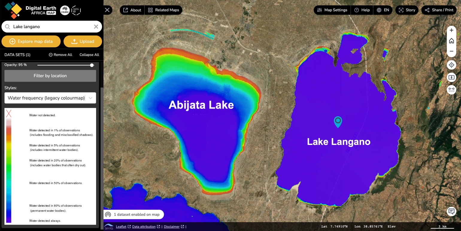
Tracking lake levels and addressing soil salinity
Other teams have focused on tracking variations in lake levels within the Ethiopian Rift Valley Basin and monitoring soil salinity in irrigation-intensive regions. Both challenges are critical to sustainable water management and agricultural productivity.
A salinity monitoring tool developed by one group has already garnered attention from private farming companies. The monitoring tool identifies salinity-affected areas and informs identification of mitigation measures for soil degradation. This tool is not only enhancing productivity but also empowering farmers to manage their land more sustainably.
Similarly, the lake level tracking project is sparking discussions within Basin Administration Offices about how to integrate these insights into broader water resource strategies. These projects exemplify how collaborative innovation can lead to meaningful solutions.
Ongoing support and collaboration
DIWASA’s work doesn’t stop with training or tool development. Ongoing support is a key focus. IWMI facilitates weekly team meetings, monthly webinars, and guidance from experts, ensuring solutions remain practical and scalable. Field data collection strengthens the tools, while regular feedback from Digital Earth Africa helps refine use cases for wider applications.
Reflecting on the project’s significance, Melesse explains, “We’re now making informed, data-driven decisions that benefit our environment, economy, and communities. This is about more than data—it’s about building a sustainable future.”
Building a continental network
The progress in Ethiopia is only part of DIWASA’s broader vision. Similar initiatives are underway in Ghana, Burkina Faso, and the Volta Basin, with Zambia set to join in 2025. A Community of Practice Workshop next year will create a platform for African innovators to share lessons and inspire solutions.
As these projects progress, their ripple effects will be felt across Ethiopia and beyond. "DIWASA showcases the power of earth observation data, digital tools, training and collaboration," says Lisa Rebelo, lead scientist for Digital Earth Africa. "The solutions developed are addressing Ethiopia's specific challenges and becoming blueprints for tackling similar issues across Africa. By improving agricultural yields, protecting vulnerable communities, and empowering policymakers with reliable data, DIWASA is paving the way for a water-secure future in Africa."
For Ethiopia’s DIWASA stakeholders, this is just the beginning of a transformative journey—one that highlights the power of collaboration and innovation to solve the continent’s most pressing challenges.
Acknowledgement
This work was supported by the Leona M. and Harry B. Helmsley charitable trust, and the Norwegian Government under the project titled ‘Learning Support for a Sub-Saharan Africa Multi-Country Climate Resilience Program for Food Security,’ and by the donors who fund the CGIAR Research Initiative on Fragility, Conflict, and Migration (FCM), through their contributions to the CGIAR Trust Fund: https://www.cgiar.org/funders/