As a program on the continent, Digital Earth Africa is honoured to celebrate African champions in geospatial and recognise their work in furthering diversity and inclusion for the next generation of GIS professionals. Earlier this year, we announced the four winners in the DE Africa and YouthMappers Technical Challenge 2022. You can watch the winner’s announcement here: https://youtu.be/QRCiH1rqzJo
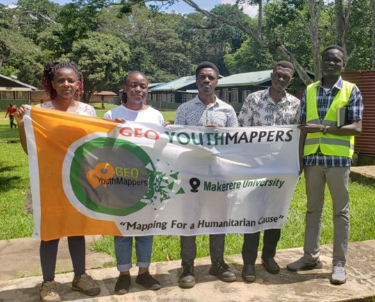
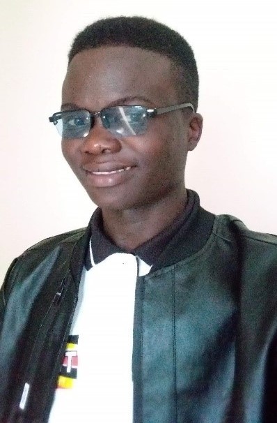
We caught up with Michael Jurua from the Geo YouthMappers at Makerere University, Kampala, Uganda. He and his team were one of the winners announced in the Technical Challenge, with a winning project entitled Identifying Deforestation Hotspots over the Budongo Central Forest Reserve Using the Digital Earth Africa Sandbox. Here, he shares more about the research project and future ambitions as everything unfolds.
What motivated you to enter the Challenge?
This Challenge provided an excellent opportunity to develop and showcase my technical skills in geospatial analysis, mapping, and data management and contribute to the geospatial community. It dared me to think critically and creatively towards solving real-world problems using the latest tools and techniques. I am passionate about using geospatial data and analysis to make a positive impact in society and this Technical Challenge provided a platform for me to work on a project that would have a meaningful impact to local communities.
Tell us a bit more about your project, including the research methodology you used to make it possible.
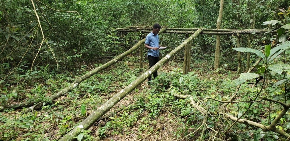
The project aims to monitor and assess forest cover change for the Budongo Central Forest Reserve, Uganda’s largest natural forest over the last 10 years, leveraging satellite imagery sourced through the Digital Earth Africa Platform. The primary objective is to understand the spatial and temporal patterns of deforestation, identify the drivers of deforestation, and provide insights into potential solutions for mitigating the impacts of deforestation on the environment. It is hoped that this project can contribute towards the adaptation of satellite imagery in monitoring and assessing forest dynamics and improving the management of this very important resource.
How will your research impact the community?
It will raise awareness about the impact of deforestation on the environment, society, and the economy, and assist policymakers make informed decisions to protect forests, promote sustainable land use practices, and preserve natural resources for future generations.
Has winning the Technical Challenge changed your life in any way?
My success has been a greatest steppingstone towards achieving my academic and career aspirations. It has raised my profile and reputation in the academic and professional communities and provided networking opportunities with other professionals, researchers, and students. The relationships I’ve built with potential mentors, collaborators and employers have been heart-warming. All these combined have truly boosted my self-confidence, self-esteem and provided a sense of accomplishment and recognition for my skills, Geomatics expertise, hard work and dedication.
How far are you with developing your research?
The project is now complete, and the findings were presented to students of the Department of Geomatics and Land Management at Makerere University on 5 May 2023. The outcomes of the study demonstrated the remarkable potential of earth observation data in supporting the sustainable management and monitoring of natural resources.
What are you most looking forward to now that the project has drawn to a close?
We look forward to collaborating with policymakers, NGOs, and local communities to better understand the context of deforestation and to identify potential solutions and mitigation strategies.
We also welcome the opportunity to disseminate our findings to a wider audience, either by publishing a paper in an academic journal, sharing detailed reports with key project stakeholders, presenting at conferences, and media engagements.
Any closing comments?
I would like to highlight the role of youth in addressing environmental challenges. We bring fresh perspectives, innovative ideas, and a sense of urgency to environmental issues. Programs such as this DE Africa and YouthMappers Technical Challenge provide opportunities for young people to develop their skills and contribute to research projects aimed at addressing environmental challenges. By supporting and empowering youth in this way, we can build a more sustainable and resilient future for all.
