 Inglês
  Português
  Francês
  العربية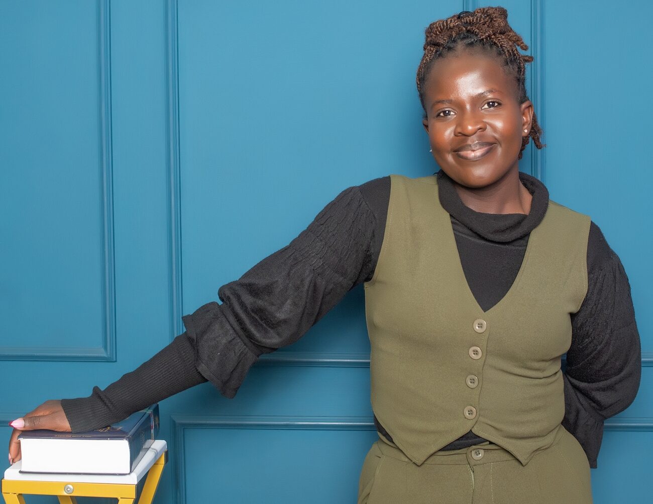
Malaria remains one of Africa’s leading public health challenges, and it begins from a puddle, a flooded field or a slow-moving stream. After hatching, mosquitoes spend their larval stage of their lives entirely in water. Where that water collects, how long it lasts, and what condition it is in, determines where the insects that carry malaria can breed and survive. Victoria Odhiambo, a Geospatial Data Clerk and Research Officer at the International Centre of Insect Physiology and Ecology (icipe), uses satellite data to develop Earth observation-derived hydro-ecological layers that help characterise the environmental conditions associated with mosquito larval habitats.
Her interest in maps started early. In primary school, she was drawn to how colours, symbols, and patterns on a map could tell a story about a place she had never seen. That curiosity carried her through geography lessons in high school and into a degree in Geospatial Engineering at the University of Nairobi, where she began to see maps as tools for answering real-world questions.
Victoria’s work sits within the Vector Atlas project, a Gates Foundation funded international collaborative project linking icipe with the University of Oxford (UK), the KIDS Institution in Australia and many partners and National Malaria Control/Elimination Programmes across Africa. Her contribution is to build analysis-ready baseline covariables and hydro-ecological proxy layers (such as sub-pixel surface water permanence and canopy shade,) derived from Earth observation. These describe on-the-ground conditions of the water dynamics, vegetation condition, terrain shape, land surface temperature and other hydro-ecological characteristics, which in turn support spatial modelling to identify productive mosquito larvae sites. These covariate layers will support spatial models allowing the evaluation of vector abundance at a finer spatial scale than can be currently achieved with available remotely sensed data. Thus, these new larval site layers will significantly improve our capacity to estimate vector abundance and subsequently support evidence-based vector control.
The work is grounded in evidence as much as imagery. Victoria is part of the team that abstracted and curated georeferenced larval habitat records from more than 3,000 published studies into the Vector Atlas Database (VADB). That evidence base helps identify which environmental characteristics are genuinely associated with mosquito larval sites and gives her a reference point for validating the satellite data.
As part of her mandate for the Vector Atlas, Victoria needed datasets that could describe aquatic habitat conditions, particularly turbidity, a factor known to influence the species of mosquito inhabiting certain larval sites. Leveraging icipe’s strategic integration of these initiatives, her supervisor, Dr Tobias Landmann, Science Lead at Digital Earth Africa in icipe, pointed her towards DE Africa’s Water Quality Monitoring Service (WQMS). From there, her search widened. She found analysis-ready datasets that matched what the Vector Atlas required, bypassing the extensive preprocessing that raw satellite data usually demands, and began exploring DE Africa’s wider catalogue of topographic and environmental layers.
Several datasets now sit at the centre of her work. Water Observations from Space (WOfS) shows where surface water occurs and how it changes over time, important given that mosquito breeding habitats are often seasonal or temporary. WQMS layers, including Total Suspended Matter, Chlorophyll-a, the Trophic State Index, Optical Water Type, and the Floating Algae Index, describe the condition of that water once it is found. Terrain products such as Multi-Resolution Valley Bottom Flatness and Multi-Resolution Ridge Top Flatness show where water is likely to collect or drain, while vegetation indices, iSDA soil data, and WaPOR evapotranspiration data fill in the surrounding landscape. DE Africa’s space-time geomedians essentially enables the team to capture seasonal hydrological dynamics and temporal permanenc, which are the drivers of the seasonal larval sites of dominant malaria vector species in Africa, rather than static snapshots.
One of Victoria’s clearest insights from this work is that moving from a single study area to a continental product is not simply a matter of expanding the map. It introduces new problems by harmonising data across different landscapes, processing it efficiently, and keeping workflows reproducible. Working through DE Africa’s standardised, analysis-ready datasets gave her a clearer picture of what that discipline requires and has shaped how she now approaches building environmental covariates that need to hold up across very different ecological settings.
She sees the bigger challenge for Earth observation in Africa not as one of data access, but of interpretation. Many ecological processes cannot be observed directly from space, so researchers lean on proxy variables, and the risk is that a proxy does not truly represent the process it is meant to stand in for, especially when the research informs public health decisions. Her answer is closer collaboration across disciplines: Earth observation scientists, ecologists, hydrologists, entomologists, and public health researchers working from the same data.
Asked what she would tell a young researcher starting out with DE Africa’s tools, Victoria’s answer is direct, start with the scientific question, not the dataset. Earth observation offers an enormous volume of information, but its value only shows up once someone has worked out which observations matter for the process, they are studying. Her own path bears this out. Some of her most useful datasets were ones she found while chasing the answer to a specific problem, not ones she set out to use.
Looking ahead, Victoria would like to see DE Africa invest further in training that goes beyond how to use existing products, towards how those products are built from the processing, harmonisation, and validation choices behind a continental-scale dataset.