 اللغة الإنجليزية
  البرتغالية
  الفرنسية
  العربية
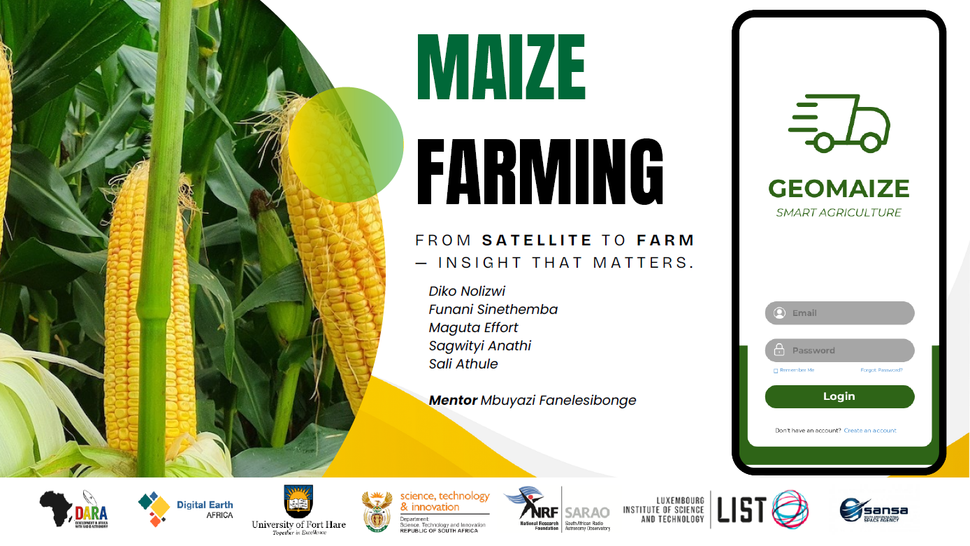
In South Africa’s maize-producing regions, such as Free State and Mpumalanga, small delays in spotting crop stress can mean big losses for farmers. Enter GeoMaize, a satellite-based crop monitoring system that gives farmers early warnings about water stress, nutrient deficiencies, and pests. By transforming complex Earth observation data into simple, actionable insights, GeoMaize helps growers make timely decisions to protect yields and strengthen food security.
From space to the farm
GeoMaize leverages free, analysis-ready datasets from Digital Earth Africa (DE Africa), combining optical imagery from Sentinel-2 with thermal data from Landsat-8. The team chose DE Africa because it provides free, continent-wide, pre-processed satellite data, reducing the need for heavy preparation and letting them focus on analysis and modelling. Its accessible, scalable platform makes it ideal for solutions targeting both smallholder and commercial farmers.
By using these multi-source datasets, GeoMaize monitors maize fields across the maize growing regions. Satellite-derived indices track vegetation health, water stress, canopy cover, and nutrient levels over time. This data is fed into machine learning models that classify maize fields and detect stress before it becomes visible.
Farmers receive SMS alerts in local languages and can use a mobile app with dashboards, AI-guided advice, and yield forecasts, turning advanced technology into practical farming solutions.
Innovation and insights
What sets GeoMaize apart is how it combines multi-temporal satellite data with machine learning to deliver near-real-time crop health insights. By translating high-tech Earth observation into SMS alerts, multilingual communication, and simple app-based recommendations, GeoMaize bridges the gap between advanced technology and farmers’ day-to-day decisions.
The project’s classification model has achieved 66% accuracy, improving as more ground-truth points and model refinements are added. Validation is performed using labelled reference points and temporal consistency checks to ensure reliable results.
A key insight from the project is that early water stress signals appear weeks before visible field symptoms, highlighting its potential as a proactive early-warning system that can prevent yield losses.
“Early water stress signals appear weeks before visible symptoms, giving farmers time to act.”
The people behind GeoMaize
The GeoMaize team came together through the Open Data for Social Impact Challenge, blending expertise in Earth observation, data science, agriculture, and software development. Key contributors include:
- Nolizwi Diko – GIS and remote sensing expert, analysed vegetation indices and applied machine learning to drive actionable insights.
- Sinethemba Funani – Remote sensing data processor, processed Sentinel-2 and Landsat-8 time-series data, improving crop classification and stress detection by 66%.
- Athule Sali – Machine learning lead, developing predictive models for yield and crop health.
Supported by mentors, software developers, and agricultural extension specialists, the team ensures that insights are technically accurate and farmer-friendly.
Impact on food security
GeoMaize’s short-term goal is to refine the mobile app and integrate farmer feedback. In the longer term, the project aims to scale nationally, expand to additional crops, and provide data-driven support for government food security planning.
By reducing yield losses, boosting farm resilience, and supporting smallholder livelihoods, GeoMaize contributes directly to SDG 2 (Zero Hunger) and SDG 1 (No Poverty).
“GeoMaize bridges high-tech satellite data with everyday farming decisions, empowering farmers and strengthening Africa’s food security systems.”
This youth-driven initiative demonstrates that open satellite data and localized insights can empower farmers, strengthen food security, and create a climate-resilient agricultural sector across Africa.