 Inglês
  Português
  Francês
  العربية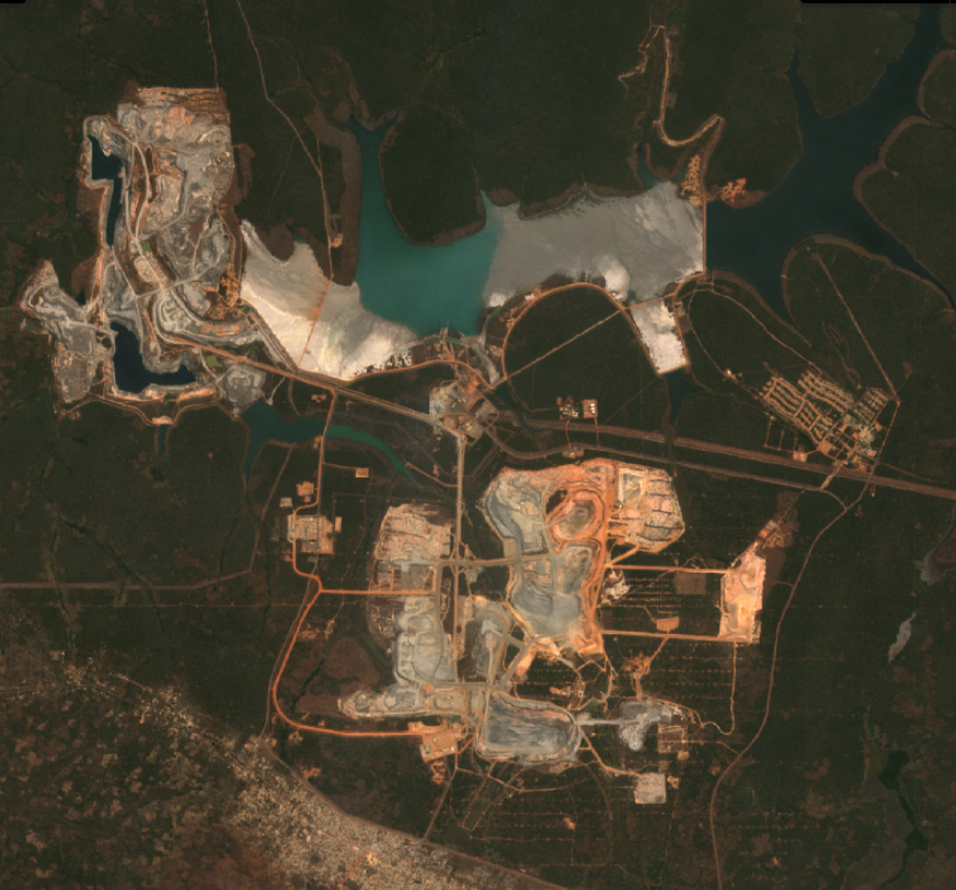
Students at Rusangu University in Zambia explored how their city is changing by comparing satellite derived indicators of Lusaka’s urban expansion between 2017 to 2025. This was one of the practical examples Digital Earth Africa used to introduce 39 students and academic staff to the continent’s Earth observation tools.
The training session covered three tools built for different levels of technical expertise. The Mapas DE África interface which gives quick, web based access to spatial analysis, the Caixa de areia, a cloud-based Python environment for more advanced , command driven work on large datasets, with no local computing power required, and the Plataforma de aprendizagem which offers twelve free modules for students building up Earth observation skills from the ground up.
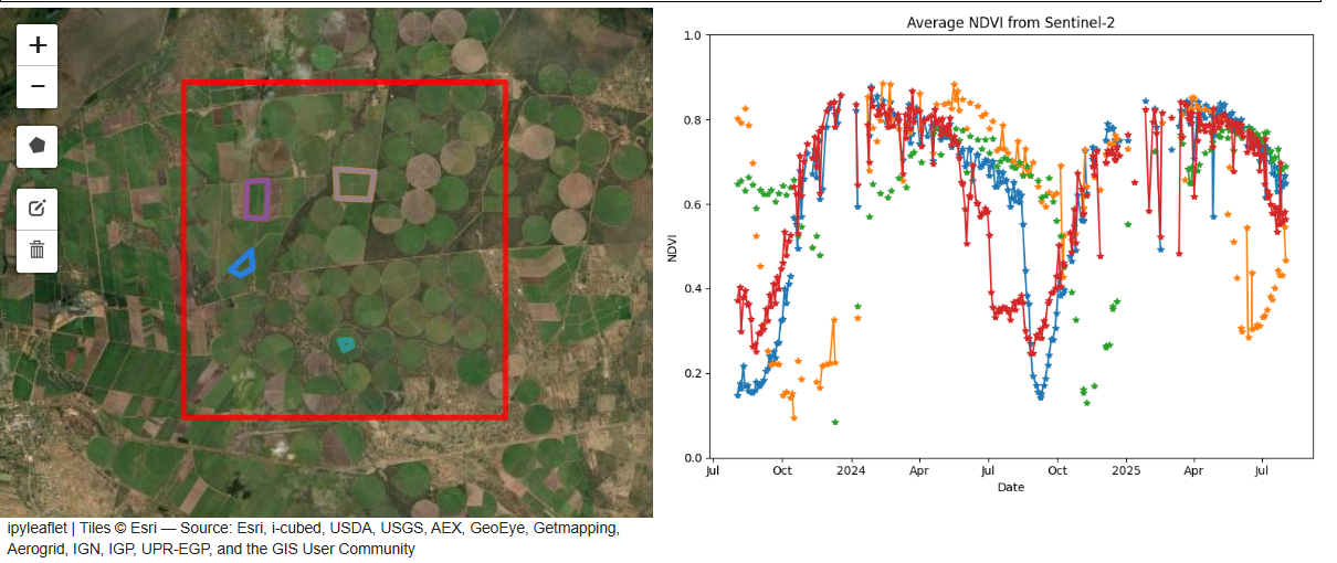
The Lusaka comparison revealed changes that are difficult to observe from the ground. The session also extended beyond Zambia to demonstrate the continental reach of DE Africa datasets. For instance, Sentinel-2 imagery was used to illustrate crop health, vegetation condition and seasonal patterns including examples from Rwanda.
Closer to home, DE Africa’s Landsat-based mapping supports surface water extent mapping and monitoring of water body dynamics. DE Africa tools have mapped 700,000 water bodies across Africa including water resources in Zambia.
Together, the examples demonstrated how Earth observation data can be applied to environmental monitoring, agriculture, water resource management and urban development while reinforcing the importance of grounding regional and continental datasets in local realities.
The session also outlined practical pathways for students and faculty to take their learning further. They can use the DE Africa Learning Platform, Sandbox and GitHub repositories to develop their skills and access datasets for their dissertations, theses and other academic research. They can also submit project ideas and use cases for technical support and mentorship as another avenue for developing and applying Earth observation skills.