 اللغة الإنجليزية
  البرتغالية
  الفرنسية
  العربية
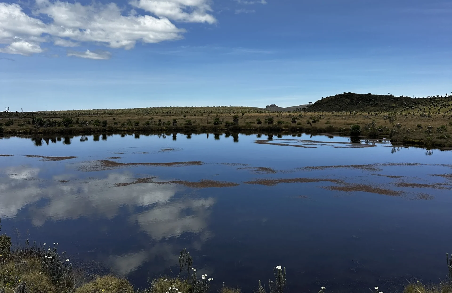
Open Earth observation data is helping African countries protect wetlands, strengthen climate resilience, and meet global environmental commitments.
Wetlands are among Africa’s most powerful and most overlooked nature-based solutions. They play a critical role in regulating floods, storing carbon, sustaining biodiversity and supporting millions of livelihoods. Yet wetlands are amongst the most threatened ecosystems globally. Across Africa, land-use change, infrastructure expansion, water abstraction, pollution and climate variability continue to drive wetland degradation and loss.
Africa hosts an estimated 131 million hectares of wetlands spanning floodplains, marshes, peatlands and mangroves, representing a critical natural asset for climate adaptation and sustainable development. Despite their scale and importance, many wetlands remain poorly mapped or monitored, limiting their integration into development planning, climate adaptation and conservation policy. A persistent barrier to adequate protection has been the lack of consistent, accessible and up-to-date data to inform decision-making.
Digital Earth Africa is addressing this challenge by using open satellite data and African-led analysis to strengthen how wetlands are identified, monitored and managed across the continent. By providing free access to Earth observation data and analysis-ready insights, DE Africa enables countries and institutions to move beyond fragmented datasets towards consistent, accessible wetland monitoring.
As the world marks World Wetlands Day on 2 February, DE Africa’s work highlights how Earth observation can help translate wetlands from undervalued ecosystems into actionable nature-based solutions for climate resilience and sustainable development.
Earth observation supporting nature-based solutions
Effective nature-based solutions depend on credible, accessible data, particularly in landscapes that change seasonally and over long timeframes. DE Africa applies satellite Earth observation to provide consistent insights on wetland extent, seasonality and long-term change, supporting evidence-based policy and planning.
Central to this work is the Wetlands Monitoring Workflow, which enables users to map wetland extent, classify wetland type and assess change using free satellite imagery. The workflow can be adapted to national wetland definitions and supports integration into environmental planning, climate strategies and ecosystem management frameworks.
Tracking wetland dynamics over time
Understanding how wetlands change over time is critical to assessing their health and function as nature-based solutions. DE Africa’s Wetlands Insight Tool combines satellite-derived water observations and vegetation data to generate time-series profiles that capture seasonal flooding patterns, vegetation dynamics and long-term trends.
These insights make it possible to detect gradual changes such as reduced flood duration, shifts in wetland vegetation or long-term drying trends that may not be visible through infrequent field surveys alone. By providing a consistent historical record, the tool supports early warning, prioritization of conservation action and evaluation of restoration outcomes.
Building local capacity for long-term impact
Technology alone is not sufficient to deliver lasting impact. DE Africa places strong emphasis on capacity building and local ownership, working with government agencies, regional institutions, researchers and conservation organisations to embed Earth observation skills within African institutions.
Through hands-on training workshops, regional partnerships, and open online learning resources, practitioners are supported in applying wetland mapping workflows, developing training datasets, and interpreting satellite-derived outputs. This approach strengthens national wetland inventories and ensures monitoring efforts can be sustained over time.
Linking nature-based solutions to global wetland commitments
While nature-based solutions provide a widely understood entry point, wetlands are also governed under the Ramsar Convention on Wetlands. In July 2025, DE Africa showcased its wetland monitoring tools at Ramsar COP15 in Victoria Falls, Zimbabwe, marking the return of the global wetlands conference to Africa after more than two decades.
At the conference, DE Africa demonstrated how Earth observation products can support national wetland inventories, improve reporting consistency and strengthen alignment between wetland conservation, climate action and development priorities.
From data to resilience
By turning satellite data into decision-ready insights, Digital Earth Africa is helping countries unlock the full value of wetlands as nature-based solutions.
As climate pressures intensify, the ability to monitor wetlands at scale and over time will become increasingly essential. Through open data, locally driven analytics and sustained capacity building, Digital Earth Africa is supporting African countries to safeguard wetlands not only for today, but for future generations, climate resilience, water security and sustainable development.