 اللغة الإنجليزية
  البرتغالية
  الفرنسية
  العربية
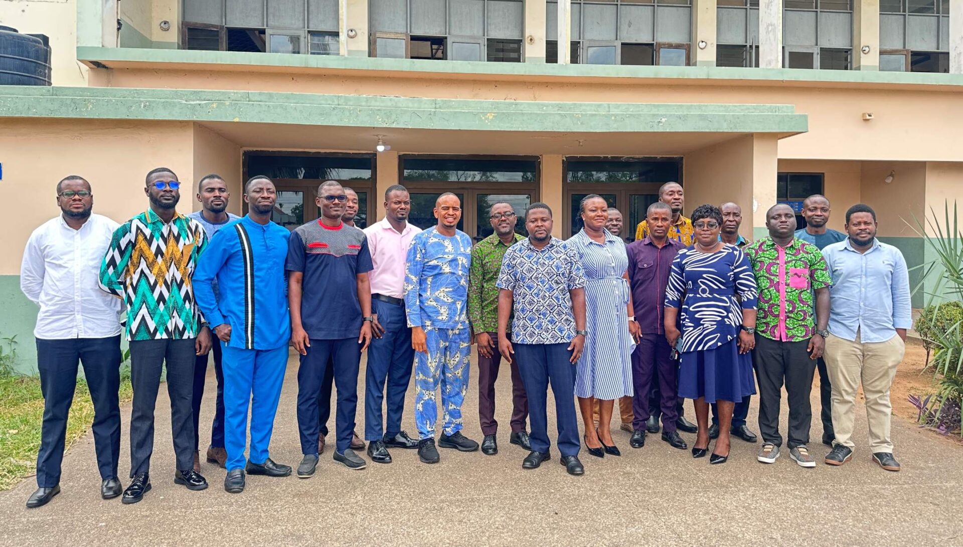
Ghana’s forests are shrinking; its rivers are drying up and farms face seasons that no longer follow the patterns that farmers have relied on for generations. The data to understand and respond to these changes exists, captured daily by satellites. Getting that data into the hands of the people who need it most is what brought 22 of Ghana’s government agencies, research institutions and private sector organizations together in Accra this month.
On 17 and 18 March 2026, Digital Earth Africa and the Ghana Space Science and Technology Institute (GSSTI) convened a two-day training workshop at the GSSTI offices to map stakeholder Earth observation needs, develop tailored use cases, and build hands-on capacity with DE Africa’s open-access platform.
A Workshop Built Around Ghana’s Real Challenges
The workshop was structured around three clear objectives: to understand how national institutions currently use EO data and where gaps exist; to support the development of Ghana-focused use cases aligned with national priorities; and to encourage sustained adoption of DE Africa’s platform for evidence-based decision-making.
The breadth of participation reflected the cross-sectoral relevance of Earth observation for Ghana’s development agenda. Eleven institutions were represented, spanning water management, environmental regulation, forestry, agriculture, disaster risk, meteorology, statistics, and space technology.
Day one focused on stakeholder mapping. Giving each institution space to present its mandate, current EO activities, and most pressing data challenges. This produced a rich picture of the EO landscape in Ghana: institutions are already engaging with satellite imagery, but demand far outpaces current capacity and access to analysis-ready data.
Day two moved into hands-on training, with DE Africa walking participants through core platform notebooks covering crop health, water resources, urbanisation, coastal erosion, land cover, land degradation, and surface mining detection.
Mapping Ghana’s EO Priorities
A central activity of day one was the development of a use case matrix. This is a structured exercise in which each institution identified its thematic focus, the development framework or SDG target it aligns with, and the specific problem it is trying to solve with EO data.
Illegal mining locally known as galamsey emerged as one of the most urgent cross-cutting concerns, with the Forestry Commission, EPA, Water Resources Commission, and Ministry of Lands all flagging it as a driver of deforestation, river siltation, and land degradation. Several institutions identified DE Africa’s GeoMAD and NDVI anomaly products as immediately relevant to their monitoring needs.
For COCOBOD, the urgency is partly regulatory: Ghana is preparing to comply with the EU’s Deforestation Regulation (EUDR), which requires that cocoa exports to the EU are demonstrably deforestation-free and traceable to the precise plot of land where they were grown. Satellite-based traceability systems already in development through the Ghana Cocoa Traceability System are central to that effort.
“We need accurate and reliable data to establish and ensure easy traceability, to avoid broad-stroke classification.” Ghana Cocoa Board
The Ghana Statistical Service identified a compelling use case around census mapping: current online satellite imagery operates at 30-metre resolution and is updated every three to four years, making it difficult to capture new settlements and fine-grained spatial features. Sentinel-2 imagery available through DE Africa at 10-metre resolution with more frequent updates offers a pathway to more accurate enumeration area delineation for the 2030 Census.
The training component demonstrated DE Africa’s open, analysis-ready platform through practical notebooks tailored to Ghana’s priority themes including agriculture, water resources, urbanisation, coastal erosion, land degradation and surface mining.
Looking Ahead: A Partnership Built to Scale
GSSTI sees significant potential in leveraging DE Africa to support university-level learning and student research across agriculture, water resources, and natural resource management. The institute is well-positioned to serve as a hub for DE Africa engagement not only within Ghana but more broadly across West Africa.
For DE Africa, this partnership deepens country-level presence in Ghana and reinforces its mission to make Earth observation accessible, actionable, and locally relevant across the continent. Planned next steps include additional facilitated training sessions, on-site support opportunities, and extending the training community to partner universities and aligned institutions.