اللغة الإنجليزية
  البرتغالية
  الفرنسية
  العربية
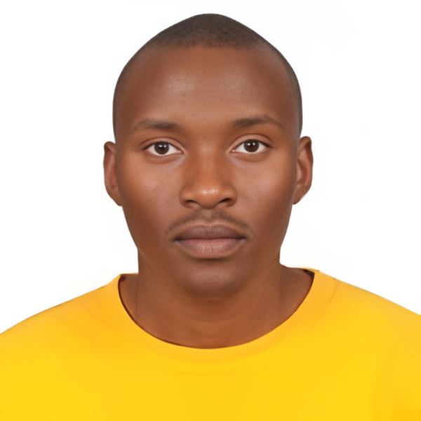
From monitoring the expansion of Africa’s great lakes to assessing the scars left by raging wildfires, Kimani, Julius Mbuvi is putting Earth observation to work for real-world challenges. An astronomy and astrophysics graduate from the University of Nairobi, he bridges his background in space science with practical EO applications through Digital Earth Africa’s tools. Using datasets such as Water Extent and Burnt Area Mapping, Julius has tracked the steady rise of Lake Nakuru over three decades and mapped the devastating Isiolo wildfires of early 2025, which burned over 200,000 acres of pastureland. His research highlights how accessible satellite data can inform environmental management, resource planning, and climate resilience across Africa.
وصفي لخلفيتي الأكاديمية وتركيزي البحثي باختصار.
I’m an astronomy and astrophysics graduate from the University of Nairobi. I’m deeply passionate about the use of space science for national development. In addition; I have developed an interest in earth observation applications and space systems engineering.
كيف اكتشفت ديجيتال إيرث أفريقيا، وما الذي جذبك إلى أدواتها؟
I discovered Digital Earth Africa via social media platforms such as LinkedIn and X (formerly Twitter). What drew me to Digital Earth Africa is the availability of Jupyter notebooks equipped with efficient python programming tools for earth observation, its case samples on real-world earth observation applications and its alignment with the UN SGDs with regards to African development.
ما هو تركيز بحثك أو مشروعك الحالي، وكيف تساعد بيانات الاستشعار عن بعد (EO)؟
My current research is on the rising of big water bodies such as lakes. Through satellite images collected over a certain period of time, one can observe the extent of the rising waters of the lakes, calculate the water extent area and possibly determine the effects of nearby human settlements.
ما هي الأدوات أو مجموعات البيانات على DE Africa التي كانت الأكثر فائدة في عملك، ولماذا؟
The most useful DE Africa datasets that have been useful to my research work are water extent, water resource management, water quality, chlorophyll monitoring and burnt area mapping. This is because they have availed near real-time satellite images for EO research. In addition, their visualization tools assist one in getting an in-depth analysis of the changing patterns on the areas of focus.
يمكنك مشاركة إنجاز واحد أو بصيرة واحدة ساعدت DE Africa في تحقيقها؟
DE Africa datasets were instrumental in observing the steady expansion of L. Nakuru over a period of 30 years and provided insights on how the rising waters have displaced human settlements situated in close proximity to the lake.
يتمثل التحدي الأكبر الذي أراه أمام تبني الاستشعار عن بعد في الأبحاث الأفريقية في عدم كفاية البنية التحتية للمعالجة والتحليل، فضلاً عن نقص البيانات عالية الجودة والمحددة محليًا. غالبًا ما تكون محطات المعالجة باهظة الثمن وتتطلب خبرة متخصصة، مما يجعلها غير متاحة للعديد من المؤسسات البحثية الأفريقية. بالإضافة إلى ذلك، قد تكون البيانات المتاحة عالمياً غير مناسبة في بعض الأحيان للتطبيقات المحلية بسبب الاختلافات في أنظمة النطاقات، ودرجة الدقة، ووقت الحصول على البيانات، أو بسبب عدم توفر بيانات مرجعية أرضية كافية. للتغلب على هذه التحديات، أقترح ما يلي: 1. **بناء القدرات وتنمية المهارات:** * **ورش عمل ودورات تدريبية:** تنظيم ورش عمل ودورات تدريبية منتظمة حول تقنيات الاستشعار عن بعد ومعالجتها في جامعات ومراكز أبحاث أفريقية. * **برامج التبادل:** إنشاء برامج تبادل للباحثين الأفارقة للتدريب في مراكز متقدمة عالمياً في مجال الاستشعار عن بعد. 2. **تعزيز البنية التحتية:** * **مراكز بيانات محلية:** إنشاء مراكز بيانات إقليمية أو وطنية لمعالجة وتخزين بيانات الاستشعار عن بعد، مع التركيز على استخدام تقنيات الحوسبة السحابية لتقليل التكاليف. * **مبادرات الوصول المفتوح:** تشجيع الشراكات مع وكالات الفضاء العالمية والشركات الخاصة لتعزيز الوصول المفتوح إلى بيانات الاستشعار عن بعد عالية الجودة. 3. **تطوير البيانات المحلية:** * **حملات ميدانية:** دمج حملات ميدانية لجمع بيانات مرجعية أرضية دقيقة ومحددة محلياً، والتي تعتبر حاسمة لتصحيح وتفسير بيانات الاستشعار عن بعد. * **بيانات منخفضة التكلفة:** استكشاف استخدام مصادر بيانات منخفضة التكلفة أو مجانية، مثل الأقمار الصناعية الصغيرة، أو حتى دمج بيانات الطائرات بدون طيار، لزيادة توافر البيانات. 4. **تعزيز التعاون والشراكات:** * **التعاون الإقليمي:** تشجيع التعاون بين الدول الأفريقية لتقاسم الموارد والخبرات في مجال الاستشعار عن بعد. * **شراكات مع القطاع الخاص:** إقامة شراكات مع الشركات التي تمتلك إمكانيات في مجال الاستشعار عن بعد لتطوير حلول مخصصة للتحديات الأفريقية. * **منصات التعاون:** تطوير منصات عبر الإنترنت لتسهيل التعاون وتبادل المعرفة بين الباحثين الأفارقة. 5. **التمويل والاستدامة:** * **منح مخصصة:** البحث عن منح وتمويل مخصص لدعم مشاريع الاستشعار عن بعد في أفريقيا. * **الاستدامة المالية:** تطوير نماذج مستدامة مالياً لمراكز معالجة البيانات وصيانتها. من خلال معالجة هذه القضايا بشكل منهجي، يمكن تعزيز تبني الاستشعار عن بعد بشكل كبير في الأبحاث الأفريقية، مما يتيح قدرات تحليلية أقوى لمعالجة التحديات المتنوعة التي تواجه القارة.
The availability of high-resolution near real-time or real-time satellite data for earth observation research at a low-cost to early researchers. This can be addressed by implementing an open data policy advocating for satellite data-sharing agreements under agreed favorable terms.
ما الذي تودون أن تحققه DE Africa بعد ذلك للباحثين في جميع أنحاء القارة؟
The introduction of EO predictive modelling tools as part of their datasets. This will be essential in conducting predictive analysis of the changing patterns on earth which can be used to advise the relevant entities on the best way forward.
نصيحة واحدة لباحث شاب يريد استخدام أدوات DE Africa؟
I would encourage the young researcher to exploit the dataset made available by DE Africa to paint a picture to the general public on the changing patterns of the local environment he or she lives in and how its directly or indirectly affects them, thereby putting an emphasis on the importance of natural resource management for future generations to come.