 اللغة الإنجليزية
  البرتغالية
  الفرنسية
  العربية
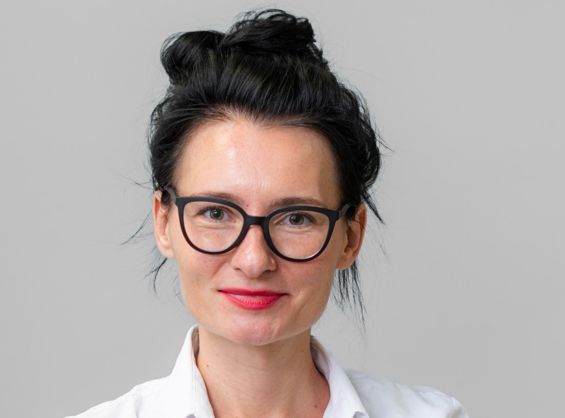
Bringing together a passion for SpaceTech, sustainable AI, and climate resilience, Iuna Tsyrulneva joined a powerhouse team at the G20 Hackathon to explore how satellite data can help predict and manage flooding in rapidly growing urban areas. Using Digital Earth Africa’s open data and tools, the team developed FLOODRAP, a high-resolution flood risk assessment platform designed to support decision-makers across Africa. In this Spotlight, Iuna shares how collaboration, creativity, and a data-driven approach turned a hackathon challenge into a promising blueprint for more resilient cities.
Could you briefly share your background and what drew you into geospatial work, particularly flood modelling and urban expansion?
My interests revolve around SpaceTech and Sustainable AI, whereas my research background lies in understanding the impacts of technology on society, exploring the technology for good, and developing feedback-driven climate-related policies for decision-makers. The G20 Hackathon scope aligned perfectly with my background: utilizing remote sensing data and modeling to predict and map the impacts of flooding on human settlements, especially in regions that rarely make the headlines.
How did your team get involved in the Digital Earth Africa Hackathon, and what motivated you to take on this challenge?
The call for participants in G20 Hackathon was shared by EOS Community Engagement Office, which also helped identify potential team members. According to the requirements, the team had to comprise technology and data experts and policy makers. We quickly volunteered for such an interesting opportunity and soon assembled a squad with complementary skills.
What inspired the team’s choice of problem statement at the hackathon and how did the team refine their approach as the challenge progressed?
We expected a predefined problem statement, but instead, we were handed creative freedom to investigate our own vision of the problem – a rare gift in hackathons! Before the actual start of Hackathon, we brainstormed over potential outputs that we wanted to produce as the final product. Polishing the final research statement emerged organically after exploring available resources, aligning with this year’s G20 scope, and understanding what each member could bring to the table.
Your LinkedIn post hinted at you having a powerhouse team. Could you describe the different strengths each member brought, and your own role within the group?
Oh yes! Our effective and professional team of researchers from Earth Observatory of Singapore and Asian School of Environment is the biggest treasure and finding, representing unique blend of individual expertises that amplified each other’s knowledge.
For example, Mauritz Felbrugge, who holds MSc in Geo-Engineering from TU Delft and is trained in Disaster Response and Remote Sensing, demonstrated magic juggling the satellite datasets. He integrated historical data from World Settlement Footprint (WSF), Sentinel-2 and Water Observations from Space (WOfS) datasets to explore how built-up and flooded areas expanded in the past.
His output was picked up by Dr Ronghua Xu (PhD in Urban Ecology from Zhejiang University) with a background in Spatial Equity and Ecosystem Services and Tian Ning Lim who holds MSc in Flood Risk Management from Erasmus Mundus and is trained in Climate Risk and Flood Risk Modeling. They integrated historical built-up area detection with the global urban growth model dataset in a hybrid built-up growth modeling framework. They generated a map for built-up areas with high resolution (100 m) for long-term expansion projection (till 2050) and for multiple climate scenarios. Tian Ning utilized her training in Flood Risk Modeling to ensure communication between team members who do not have a risk background.
And finally, Dr Dennis Wagenaar (PhD in Flood Risk Management from VU Amsterdam) focused on modelling both coastal and riverine flooding. To estimate coastal flooding, he combined sea level and elevation maps (Global Tide and Surge Model and DeltaDTM). Following this, he downscaled an open flood map with a spatial resolution of 1 km to a 30 m resolution map using the built-in elevation map to plot riverine flooding. To support the DE Africa’s scope of promoting open science, he hosted both models as APIs.
After the coding part was completed, Mauritz, incorporating the feedback from teammates, developed a Flood Risk Assessment Platform (FLOODRAP) to model and measure the impact of flooding on built-up area at any location under multiple climate scenarios until 2050 with 30 m spatial resolution.
My role? Think of me as the conductor – keeping the tempo, ensuring harmony, and occasionally cracking unfunny jokes to keep spirits high.
Did you use Digital Earth Africa’s platform, tools, or training? If yes, how did they support your workflow during the hackathon?
Yes, and it was a lifesaver! Before diving into G20 Hackathon, we were requested to take an online course from DE Africa “Introduction to Digital Earth Africa: Platforms & Sandbox”. Their sandbox provided computational resources and neatly packaged satellite datasets (from Landsat-8 and Sentinel-2) with beginner-friendly notebooks. Pre-processed datasets (e.g., cloud removal) hosted by DE Africa facilitated and accelerated data processing. Notebooks serve a variety of applications, providing detailed instructions on how to employ the datasets: from crop health to intertidal elevation to mangrove analysis.
Tell us more about the dashboard you developed. What makes it different from existing models, and how do you envision it helping decision-makers?
Our dashboard, FLOODRAP, was born from a simple idea: make flood risk modeling accessible, accurate, and actionable. Inspired by our previous experiences with commercially available and open-access dashboards that serve decision-makers in evaluating the impacts of potential interventions, our dashboard aimed at aiding policymakers in developing targeted solutions for any region in Africa. Unlike many proprietary platforms that are costly and limited to country-level models, FLOODRAP offers high-resolution maps, separate forecasts for coastal and riverine flooding, and population vulnerability assessments – all under multiple climate scenarios. Think of it as a Swiss Army knife for urban planners, but digital and way cooler.
Was there a breakthrough or surprising lesson during the process that changed your approach to EO data or problem-solving?
We managed to crack the issue of coarse spatial and limited temporal resolution in open-source flood and built-up datasets, which often limit their application for local urban planning. Additionally, the models developed by our team are open-source, generalizable, expandable, and can be modified with additional layers according to user needs. Want to add crop health layer to assess the impacts of flooding on agricultural fields? Go ahead. We built flexibility into the DNA of the platform.
As someone who has successfully merged expertise from multiple disciplines, what’s your biggest advice for building effective technical teams?
Well, a dedicated team itself is a rare find – a team that dreams big, sees a broader picture of the local problem, and is not afraid of uncertainty. Team should have a growth mindset and be willing to step outside its comfort zone, acquire new skills, and laugh at setbacks.
If your project were to move beyond the hackathon stage, what would be the next step? Who needs to see or adopt it first?
We designed FLOODRAP with decision-makers in mind: urban planners, local governments, and anyone shaping resilient cities. The next step? Pilot testing with city planners to refine usability. Ultimately, we see our platform as a foundational LEGO block for future enhancements tailored to specific needs.
Based on your experience, how do you think DE Africa could further support innovators like you and your team?
We thoroughly enjoyed interacting with DE Africa team – we could always rely on prompt and detailed responses whenever we faced minor issues. The DE Africa’s contribution to G20 Hackathon was structured and well-communicated. Perhaps, acquiring and organizing more data from various satellites would be extra beneficial for all users as it would lead to developing more accurate models resulting in insightful solutions. There is never enough data.
If you could describe your hackathon journey in one sentence, what would it be?
“A caffeine-fueled sprint where satellites met notebooks and turned chaos into flood resilience.”