 اللغة الإنجليزية
  البرتغالية
  الفرنسية
  العربية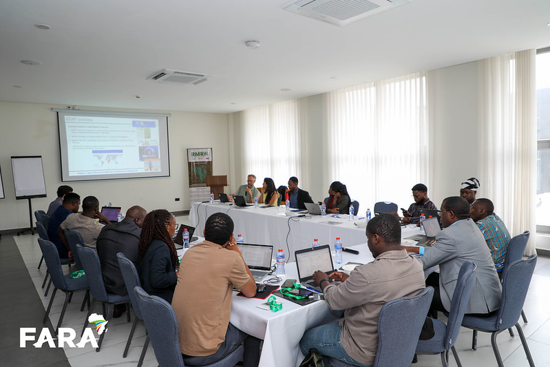
In a training room in Accra this June, a group of African researchers sat down to teach satellites how to spot a shade tree. Shade trees on cocoa farms do more than shelter crops from the sun. They store carbon, shelter biodiversity, and quietly signal whether a farm is being managed sustainably. Knowing where those trees stand, and how much shade they provide, has long been a slow, ground-based task. A two-day training hosted in Ghana’s capital showed how satellite data and machine learning are starting to change that.
Held alongside the CIRAWA Agroecology Conference on 29–30 June 2026, the training brought together remote sensing experts from the European Commission’s Joint Research Centre (JRC) Food Security Unit and RUFORUM to build participants’ skills in applying Earth Observation to agroecological research. Sessions combined theory with hands-on practice in Google Earth Engine, giving researchers direct experience processing satellite imagery rather than simply watching demonstrations.
The first day laid the groundwork on the JavaScript fundamentals needed to work in Earth Engine, followed by loading and inspecting Sentinel-2 imagery and calculating NDVI to distinguish vegetated land. Participants then moved into supervised land cover classification before turning to a continental question how diverse Africa’s cropping systems are. Using the Copernicus4GEOGLAM crop type product, the group compared crop richness across Kenya at 1 km and 5 km resolutions, then zoomed into individual farms with very high-resolution imagery and canopy height data to spot scattered trees and hedgerows too small for coarser satellites to catch.
Day two turned to perennial crops that anchor rural economies across West Africa, cocoa and coffee. Participants trained a Random Forest classifier on Sentinel-2 imagery and reference data from the COLD-CI dataset to map cocoa across Côte d’Ivoire, generating probability surfaces and running a full accuracy assessment against independent validation points. The final exercise tied the training’s threads together by combining the cocoa map with canopy height data to identify trees above 8 metres, likely shade cover within mapped cocoa areas, then aggregating that shade cover across a hexagonal grid. The result is a landscape-level indicator that can help distinguish shaded, biodiversity-friendly cocoa systems from full-sun monocultures, built from little more than a height threshold and some careful spatial aggregation.
The training underscored a broader shift in how agroecological research is done. Fewer field seasons spent walking farm boundaries, more time spent asking sharper questions of freely available satellite archives, provided researchers have the skills to use them.