 اللغة الإنجليزية
  البرتغالية
  الفرنسية
  العربية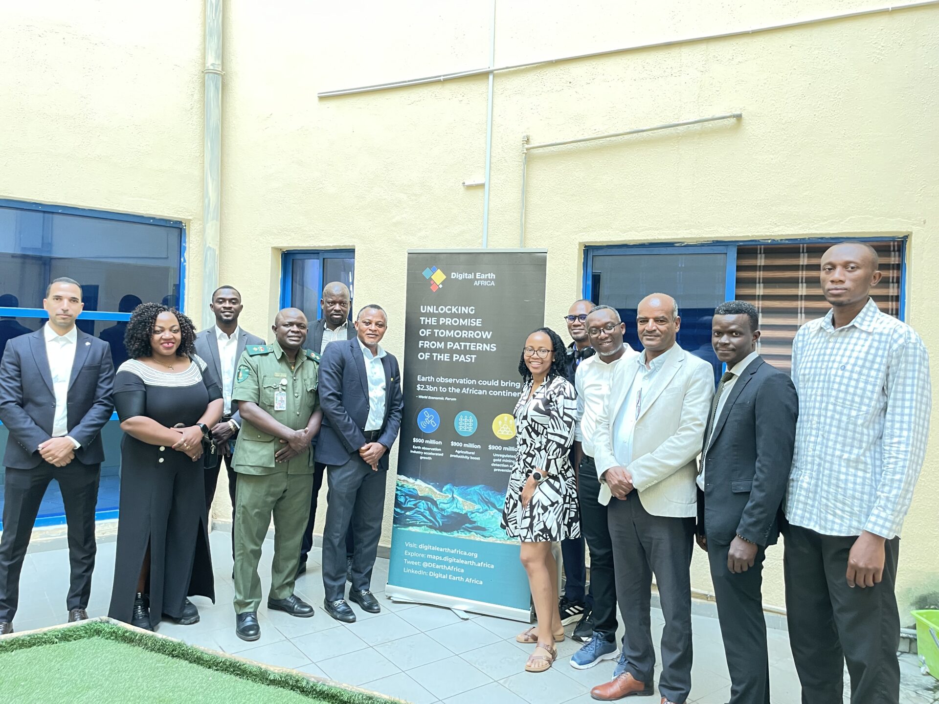
The 10th AfriGEO Symposium brought together more than 400 delegates in Abuja, Nigeria, to explore how Earth observation can support decision-making across Africa. Digital Earth Africa, a symposium partner, contributed through practical training, technical presentations, exhibition engagement and discussions on the continent’s Earth observation priorities.
Marking a decade since the first AfriGEO Symposium in Victoria Falls, Zimbabwe, the event provided an opportunity to reflect on progress and consider how Earth observation data and services can better support Africa’s development priorities. The programme’s contributions spanned skills development, data infrastructure and applications in agriculture, and were recognised with the AfriGEO Earth Observation Data and Innovation Award.
A message for the decade ahead
The opening ceremony brought together leaders from Nigeria’s space and Earth observation institutions, alongside representatives of the AfriGEO and Group on Earth Observations (GEO) secretariats. Dr Mohamed Rajhi delivered remarks on behalf of Dr Lisa Rebelo, Managing Director of Digital Earth Africa. The symposium was formally opened by Nigeria’s Minister of Innovation, Science and Technology.
In her remarks, Dr Rebelo reflected on AfriGEO’s decade of progress and the need to translate Earth observation into decisions, investment, policy and action that strengthen Africa’s resilience. She also highlighted a new chapter for DE Africa under the long-term ownership of آيسيب, describing it as an opportunity to strengthen African ownership of the infrastructure, partnerships and capabilities needed for lasting impact. The programme’s continental Water Quality Monitoring Service, launched earlier in the year, was cited as an example of moving beyond data access towards operational services that help decision-makers understand changing water conditions.
The opening programme also featured keynote talks on Earth observation for resilience, the African space economy and climate finance, alongside presentations on digital research infrastructure for climate resilience and the role of dual-use Earth observation in development and national security. National GEO updates from South Africa, Senegal, Nigeria, Kenya and Madagascar highlighted ongoing initiatives and opportunities to strengthen collaboration.
Connecting data, skills and applications
The programme’s contribution began with practical training hosted at the Defence Space Administration. Participants were introduced to DE Africa’s open-source, cloud-based platforms and their applications in environmental monitoring and natural resource management, using coastal erosion and flood risk as examples. The session highlighted the importance of pairing access to analysis-ready satellite data with the skills needed to put it to use.
These themes continued in technical discussions on data, innovation and infrastructure, where speakers considered challenges and opportunities in Africa’s data landscape, including interoperability, cloud computing, artificial intelligence and data standards.
Agriculture and food security was another focus. DE Africa presented its crop-monitoring tools in a session that brought together work from Kenya, Nigeria, South Africa and other countries. Discussions explored how satellite time series and artificial intelligence can support crop mapping, irrigation monitoring and the identification of potential shortfalls. Agriculture and food security was one of the symposium’s nine strategic pillars.
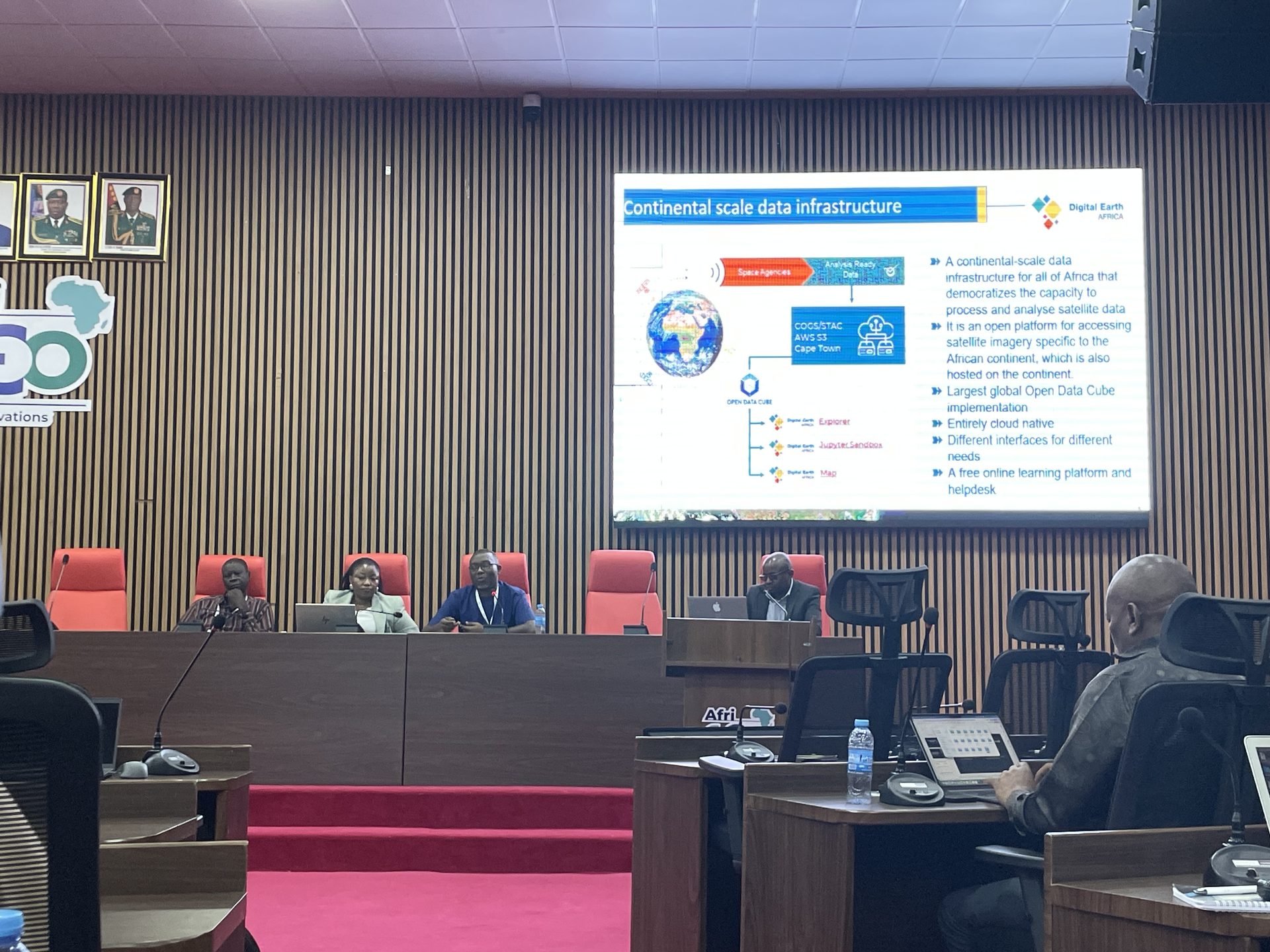
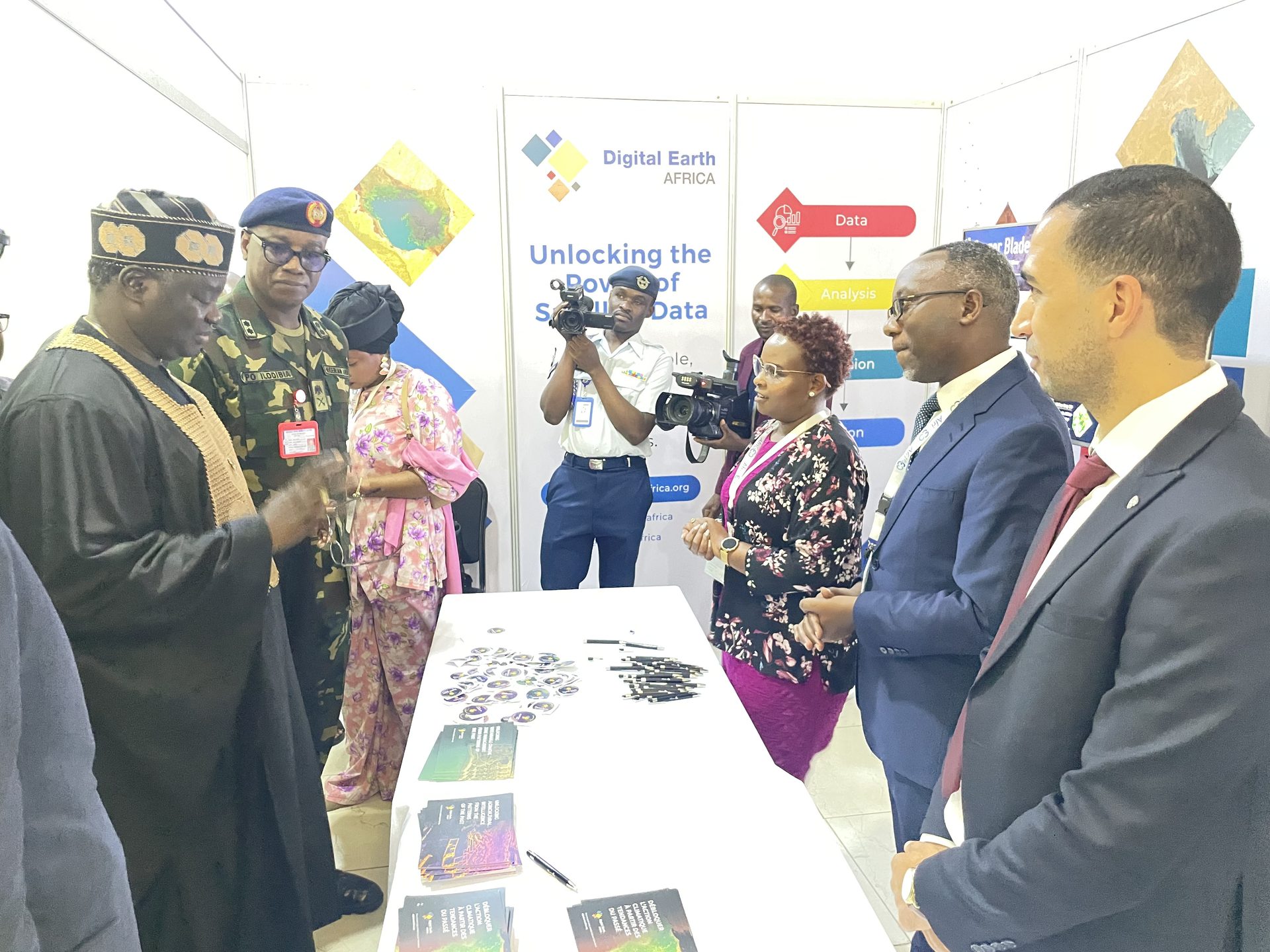
The exhibition provided a further opportunity to engage delegates and share information about the programme’s open, analysis-ready satellite data and tools. Together, the training, technical discussions and exhibition helped connect the capabilities of Earth observation with the people and institutions working to apply it to environmental monitoring, agriculture and natural resource management.
Recognition for open Earth observation data
At the Award Gala Dinner hosted by NASRDA and GEO-Nigeria, DE Africa received the AfriGEO Earth Observation Data and Innovation Award. The award citation recognised the programme’s contribution to geospatial innovation, accessible Earth observation data, climate resilience and sustainable development in Africa.
The recognition during AfriGEO’s 10th symposium highlighted the importance of making satellite data accessible and useful for African priorities.“This award belongs to everyone who turns our data into decisions, from the analysts in national agencies to the young researchers mapping their own communities,” said the Digital Earth Africa team present in Abuja. “
Turning shared ambition into action
The symposium concluded with the adoption of the Abuja AfriGEO Declaration on Earth Observation for a Resilient Africa. The declaration sets a shared direction for the community; the next step is to translate its ambitions into continued collaboration, capacity development and practical use of Earth observation across the continent.