 اللغة الإنجليزية
  البرتغالية
  الفرنسية
  العربية
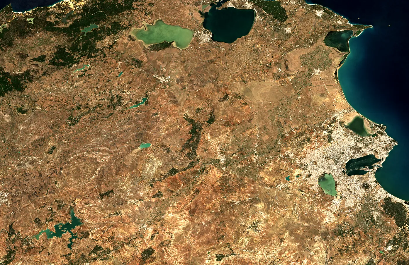
Land in North Africa is under growing pressure from climate variability, agricultural expansion, and shifting rainfall patterns. Monitoring these changes requires more than ground observation; it calls for accessible, high-quality data and the expertise to interpret it. Through its partnership with the مرصد الصحراء الكبرى والساحل (OSS), Digital Earth Africa (DE Africa) is helping bridge this gap by equipping experts in Tunisia with the tools and knowledge to track land degradation and advance Sustainable Development Goal (SDG) 15.3.1: Land Degradation Neutrality.
In 2025, OSS and DE Africa continued their joint capacity development programme focusing on two key indicators of land health: Soil Organic Carbon (SOC) and Land Productivity (LP). These workshops form part of a broader regional initiative to strengthen the use of Earth Observation (EO) for environmental monitoring, sustainable land management, and policy development.
Strengthening national expertise through the DE Africa Sandbox
At the heart of the training is the DE Africa Sandbox, a cloud-based analytical environment that provides users across the continent with access to ready-to-use EO data, powerful processing tools, and practical learning resources.
In July 2025, Tunisian experts participated in the third tele-training workshop on SOC mapping and monitoring, hosted by OSS in collaboration with DE Africa. The session introduced advanced techniques for integrating datasets such as iSDA Soil, ESA Climate Change Initiative, and Landsat imagery to map soil carbon dynamics across Tunisia.
Participants worked hands-on within the Sandbox environment to process large datasets, analyse land use and land cover changes, and estimate soil carbon loss or gain over time. The training also introduced the use of Google Earth Engine (GEE) within the Sandbox framework, allowing participants to perform advanced spatial analyses without the need for local high-performance computing infrastructure.
These practical sessions empowered Tunisia’s land monitoring community to move beyond static mapping, generating real-time insights that can inform climate adaptation policies, agricultural planning, and SDG 15.3.1 reporting.
Mapping land productivity for better land management
Building on this momentum, OSS and DE Africa hosted a second workshop focused on Land Productivity (LP), another critical component of land degradation monitoring. Participants explored how vegetation indices, such as the Normalized Difference Vegetation Index (NDVI), can be used to measure land productivity and detect early signs of degradation or recovery.
Using the DE Africa Sandbox, participants accessed time-series data from Sentinel-2 and Landsat satellites to monitor vegetation changes, assess productivity trends, and analyse the factors driving them. The sessions emphasised practical application, guiding users through real-world case studies that demonstrated how EO data can complement field-based assessments for more accurate national reporting.
By combining SOC and LP analyses, the programme offered a comprehensive perspective on land dynamics, equipping participants to interpret multiple layers of environmental data for informed decision-making and resource management.
Enabling regional collaboration and sustainable impact
These workshops form part of a long-term collaboration between DE Africa and OSS aimed at supporting North African countries to operationalise EO solutions for sustainable land management. By embedding open-access tools and methodologies within national institutions, the initiative is strengthening regional capacity to generate, interpret, and apply EO-derived information independently.
Participants noted that the Sandbox’s accessibility, requiring only an internet connection and a web browser, made it easier to collaborate across institutions and integrate EO data into national workflows. This aligns with DE Africa’s broader mission to make Earth Observation data accessible, usable, and impactful across Africa.
As OSS and DE Africa continue the 2025 training series, the partnership stands as a model for collaboration and innovation, showcasing how technology, capacity building, and shared learning can converge to safeguard Africa’s natural capital and ensure that land resources are managed sustainably for generations to come.