 Anglais
  Português
  Français
  العربية
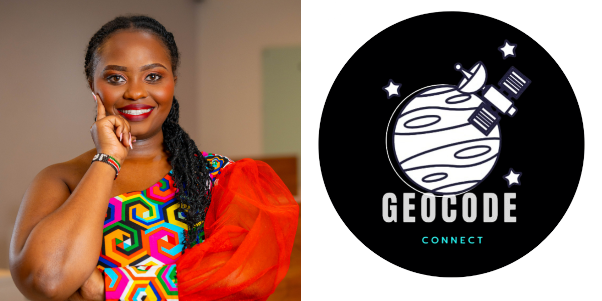
Across Africa, a growing community of young geospatial professionals is exploring new ways to apply satellite data and spatial technologies to real-world challenges. In Kenya, GeoCode Connect Africa is helping bridge the gap between classroom learning and industry-ready skills by creating a collaborative space for students, early-career professionals, and geospatial experts.
Founded by geospatial web developer Valentine Irungu, the community focuses on practical learning, mentorship, and project-based collaboration. Through a recent partnership with Digital Earth Africa, GeoCode has introduced members to open satellite data tools that support hands-on learning and real-world applications. In this conversation, Valentine shares the motivation behind the initiative, the role of Earth observation in building practical skills, and the vision for growing a pan-African geospatial community.
Can you briefly introduce GeoCode, yourself, and the motivation behind establishing the community?
My name is Valentine Irungu, a Geospatial Web Developer and the Founder of GeoCode Connect Africa. My journey in the geospatial field exposed me to both the immense potential of spatial technologies and the gap that often exists between academic training and industry expectations.
GeoCode Connect Africa was established to help bridge that gap. We began as the first structured geospatial student community in Kenya, bringing together students pursuing GIS and related disciplines. Today, we are evolving into a pan-African community connecting students, early professionals, and industry experts across the continent.
The motivation was simple. Many students graduate with strong theoretical knowledge but limited exposure to modern tools, collaborative learning environments, and mentorship. GeoCode aims to create a supportive ecosystem where young professionals can build practical skills and confidently navigate the geospatial industry.
What gap in the GIS and Earth observation space in Kenya does GeoCode aim to address?
Universities in Kenya provide strong foundational training in GIS and remote sensing. Students learn spatial analysis, satellite data concepts, and sometimes introductory programming.
However, there is often limited exposure to modern geospatial technology stacks and how these skills come together in real-world workflows. For example, students may learn Python, HTML, CSS, or JavaScript separately but not how to integrate them into practical applications such as Web GIS platforms, spatial dashboards, or cloud-based geospatial analysis.
GeoCode focuses on closing this gap by promoting project-based learning and industry-aligned skills. Our goal is to help students apply classroom knowledge to real-world African challenges while building practical portfolios.
Another important gap is mentorship. Many students have limited interaction with professionals working in the geospatial industry. GeoCode helps connect learners with practitioners who can provide guidance, career insights, and technical support.
How did the collaboration with Digital Earth Africa come about, and what inspired the inclusion of DE Africa training in your lecture series?
Our collaboration with Digital Earth Africa grew from a shared commitment to strengthening capacity and improving access to Earth observation data across Africa.
Digital Earth Africa provides analysis-ready satellite data designed specifically for African contexts. For a community like GeoCode, this creates an opportunity to move beyond theoretical learning and expose members to operational tools that can be applied to real challenges.
Including DE Africa training in our lecture series allows students to explore how satellite data can support areas such as agriculture monitoring, urban development, climate resilience, and environmental management.
How do tools like DE Africa support students and recent graduates in building practical skills and developing real-world projects?
Tools like Digital Earth Africa significantly lower the barrier to entry for satellite data analysis.
Students can access analysis-ready satellite imagery without complex preprocessing and work with datasets that reflect real African landscapes. This allows them to explore time-series analysis for land use change, vegetation monitoring, and water dynamics.
For example, students can analyse urban expansion in Nairobi, monitor vegetation patterns for agricultural applications, or assess flood-prone areas using water observation datasets.
This transforms learning from theoretical assignments into real-world problem solving and helps students develop portfolio-ready projects that strengthen their employability.
We understand you have a series of lectures planned. What themes or focus areas will future sessions cover?
Our upcoming lecture series focuses on combining technical depth with practical application.
Key themes will include applied Earth observation for development challenges, Web GIS and geospatial development, spatial data analysis for decision-making, and career pathways in geospatial and space technologies.
We will also explore integrating satellite data into data science workflows and using open-source and cloud-based geospatial platforms. The aim is to ensure that every session connects learning directly to real-world impact.
How does GeoCode’s work align with broader goals around capacity development, youth empowerment, and GEDSI principles?
GeoCode Connect Africa is fundamentally a youth-driven initiative focused on capacity development.
We aim to create inclusive spaces where students and early-career professionals can access high-quality learning opportunities. By promoting open data tools, peer mentorship, and collaboration with industry experts, we support young Africans in using geospatial technologies to address development challenges.
Our work contributes to capacity development by strengthening technical skills, supports youth empowerment by encouraging leadership and innovation, and aligns with GEDSI principles by promoting diverse participation across gender and regions.
In your view, what challenges do young GIS and data science professionals face when trying to apply satellite data in their work?
Several challenges still exist. Many young professionals have limited exposure to cloud-based Earth observation platforms and may lack the computational resources needed to process large datasets.
There is also a shortage of mentorship in advanced remote sensing workflows, which makes it difficult for learners to translate technical knowledge into decision-support outputs.
Another challenge is awareness. Many students are not familiar with Africa-focused datasets or assume that satellite analysis is too complex or inaccessible. Platforms like Digital Earth Africa help address this by making data easier to access and analyse.
How can partnerships between communities like GeoCode and platforms like Digital Earth Africa strengthen innovation and collaboration in Kenya?
Partnerships between community-driven initiatives and data platforms create strong opportunities for innovation.
Communities like GeoCode bring energy, grassroots engagement, and practical ideas for applying geospatial technologies to local challenges. Platforms like Digital Earth Africa provide the data infrastructure and technical frameworks needed to support that work.
Together, these partnerships enable experimentation, collaborative learning, and practical project development that strengthens Kenya’s geospatial ecosystem.
Looking ahead, what is your vision for GeoCode over the next few years?
Over the next few years, I see GeoCode Connect Africa growing into a leading pan-African geospatial community.
Our goal is to train thousands of students in practical geospatial technologies, strengthen mentorship connections between academia and industry, and collaborate with institutions across the continent.
Ultimately, we want to support the next generation of African geospatial leaders so that young professionals are not just users of geospatial technology but innovators and contributors to the global Earth observation community.