 Anglais
  Português
  Français
  العربية
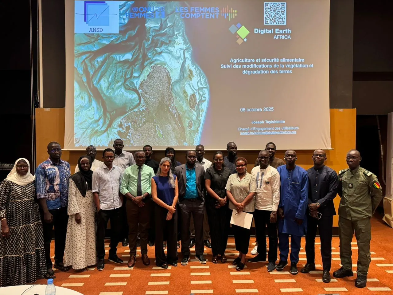
In October 2025, Digital Earth Africa (DE Africa) partnered with Senegal’s Agence Nationale de la Statistique et de la Démographie (ANSD) and UN Women to deliver a two-day training session on the use of Earth observation (EO) data for national development. Held in Dakar from October 6 to 7, the workshop brought together 24 participants from across Senegal’s National Statistical System (NSS) to explore how satellite-derived data can inform decision-making in agriculture, water resource management, urbanization, and environmental monitoring.
The training supported Senegal’s National Strategy for the Development of Statistics (SNDS IV, 2024–2028), which prioritizes modernization and innovation in official statistics. By integrating tools such as artificial intelligence, big data, and Earth observation, the government aims to strengthen the NSS and improve the availability of accurate, timely information for policy and planning.
Driving Innovation in National Statistics
Opening the workshop, Dr. Lisa Rebello, Managing Director of DE Africa, joined Mr. Moussa Diallo, Head of the Methodology and Innovation Division at ANSD, and the Director of Statistics at UN Women Senegal, in underscoring the importance of open and accessible satellite data. They highlighted the role of EO data in agricultural monitoring and food security, calling on participants to apply these tools to national priorities.
UN Women emphasized the relevance of geospatial technologies for gender-responsive data collection, noting that gender inclusion must be embedded in innovation. The collaboration between DE Africa, ANSD, and UN Women reflects a shared commitment to leveraging technology for inclusive and sustainable development across Africa.
From Awareness to Application
The first day introduced participants to DE Africa’s platform and core data services, including DE Africa Maps and the Sandbox. Participants learned to access, visualize, and analyze EO data using Python, focusing on vegetation monitoring, land degradation, and crop productivity.
The second day explored DE Africa’s Observations de l'eau depuis l'espace (WOfS) et Waterbodies Service, focusing on monitoring water extent, floods, and quality. Using Sentinel-2 imagery, participants analyzed seasonal trends in turbidity and chlorophyll, critical indicators for managing water resources such as Lake Guiers, which supplies freshwater to Dakar
Developing Practical Use Cases
To reinforce the training, participants worked in groups to develop real-world use cases applying EO data to national challenges:
- Agriculture and Food Security: Monitoring rice fields in Casamance and assessing flood-recession crops in northern Senegal.
- Water Resources: Tracking changes in turbidity in Lake Guiers to support water resource management.
- Urbanization: Analyzing urban growth trends in Dakar and Diamniadio.
- Bushfires: Evaluating fire patterns in Niokolokoba Park by combining satellite and ground data.
These projects will be refined with support from DE Africa’s Capacity Development and Science teams, and the outcomes will be shared through DE Africa’s live sessions and regional knowledge platforms.
Building Capacity for Sustainable Development
This training marks a significant step toward building national capacity to use EO data for development planning. By strengthening institutional knowledge and promoting collaboration between agencies, DE Africa enables African countries to transform data into actionable insights that support the Sustainable Development Goals (SDGs) and the African Union’s Agenda 2063.
The partnership between DE Africa, ANSD, and UN Women demonstrates how collaboration and innovation can accelerate the modernization of statistical systems. As these use cases evolve, they will inform national policy, strengthen data ecosystems, and advance Africa’s leadership in Earth observation.
For more information on DE Africa’s tools and learning resources, visit: