 Anglais
  Português
  Français
  العربية
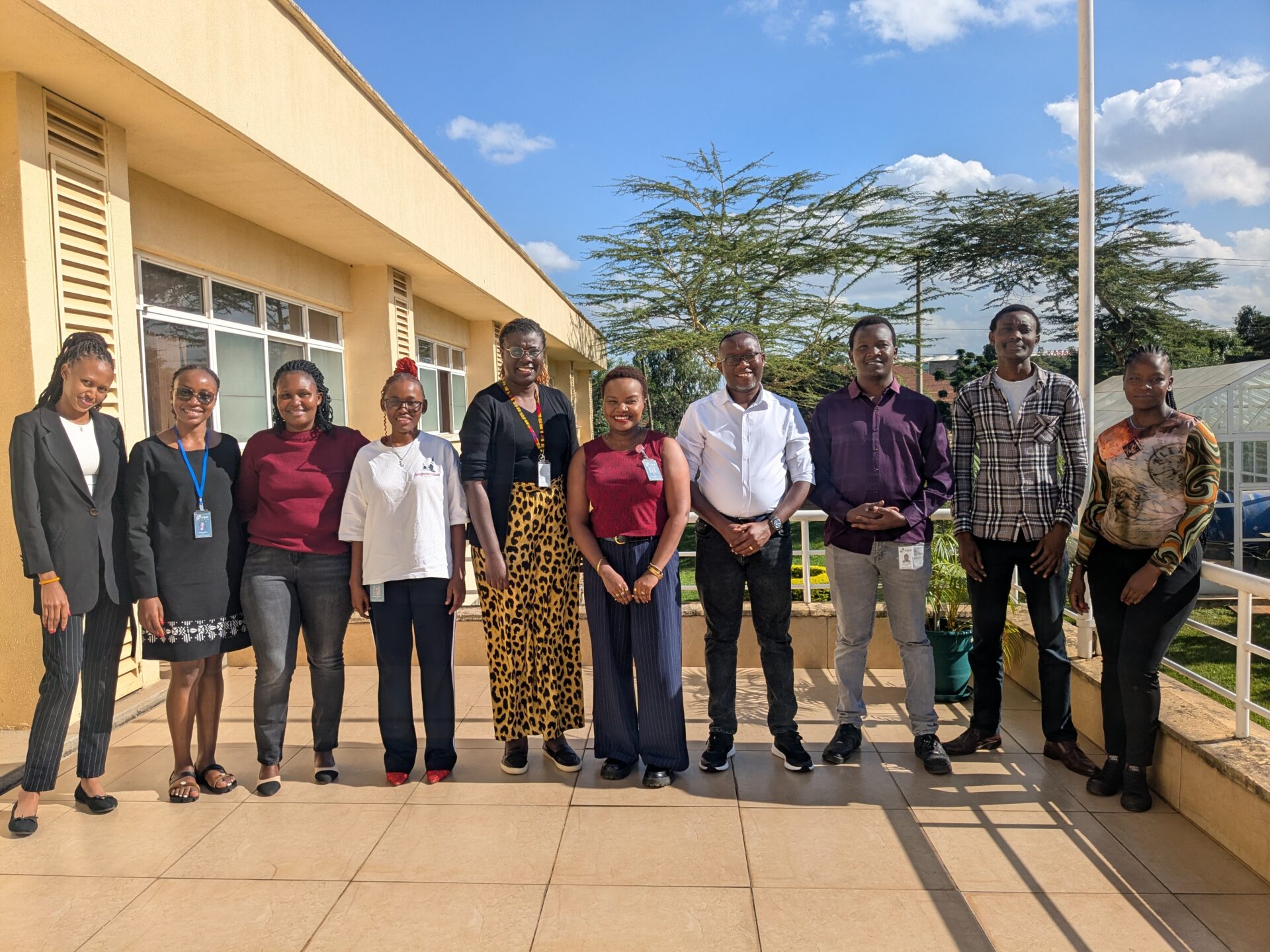
On 4 June 2026, researchers, scientists and technical staff at the International Centre of Insect Physiology and Ecology (icipe) gathered at the institute’s Nairobi campus for a hands-on introduction to Digital Earth Africa’s platforms and data products. The session, marked one of the first formal capacity-building engagements between the two organisations since icipe assumed full operational management and long-term ownership of the programme in April 2026.
icipe has built decades of expertise in tropical ecology and pest research across Africa, and its geo-information unit already uses satellite and remote-sensing technologies to track invasive species, model climate risk and guide land management decisions. DE Africa’s continental archive and open-access platforms extend that capacity significantly, offering real-time analysis at a scale that field surveys alone cannot do.
The training introduced participants to DE Africa’s two primary access platforms: the DE Africa Map, a browser-based tool for visualising continental datasets, and the Jupyter Sandbox, a cloud-computing environment for running analysis notebooks at scale. Participants worked through use cases directly relevant to the institute’s mandate including monitoring crop health and vegetation phenology using Sentinel-2 and Landsat imagery; tracking waterbody extent and wetland turbidity at sites including Lakes Baringo, Bogoria, Turkana and Naivasha; and detecting deforestation across sites such as the Maasai Mau Forest, where DE Africa’s data captured significant vegetation loss in the Olenguruone area between 2013 and 2020.
Nairobi’s rapid urban expansion provided another concrete example. Analysis using DE Africa’s sandbox showed the city’s built-up area growing from 570 km² in 2017 to 590 km² by 2021, data directly relevant to land-use planning and SDG 11 reporting. Surface temperature trend analysis covering the same period illustrated the thermal consequences of that expansion.
The session demonstrated the breadth of DE Africa’s continental services. Key products covered included:
- Water Observations from Space (WOfS): DE Africa’s first continental-scale product, mapping the presence, location and recurrence of water across the continent since the 1980s
- Coastlines Monitoring Service: providing free, interactive access to annual shoreline positions, rates of change and erosion hotspots; Kenya’s data shows 96 km of retreating and 212 km of advancing shoreline
- Cropland Extent Map, GeoMAD and Fractional Cover: analysis-ready products supporting agriculture, food security and land degradation monitoring
- Waterbodies Monitoring Service: enabling time-series tracking of large, remote and seasonally variable water bodies across the continent
In addition, crosscutting applications including ship detection with radar data, landcover classification and surface mining screening highlighted the platform’s versatility beyond the thematic areas icipe’s teams work in most directly.
For icipe, an institution whose work spans insect ecology, agricultural resilience and environmental health across the tropics, DE Africa’s data infrastructure offers a new layer of analysis. In as much as satellite observations cannot replace fieldwork, they can reach the places field teams cannot such as tracking a lake’s turbidity across three decades, mapping crop stress across a region overnight, or flagging deforestation before ground-level monitoring catches it.
This session was a first step in building that capacity systematically across the institution.