 Anglais
  Português
  Français
  العربية
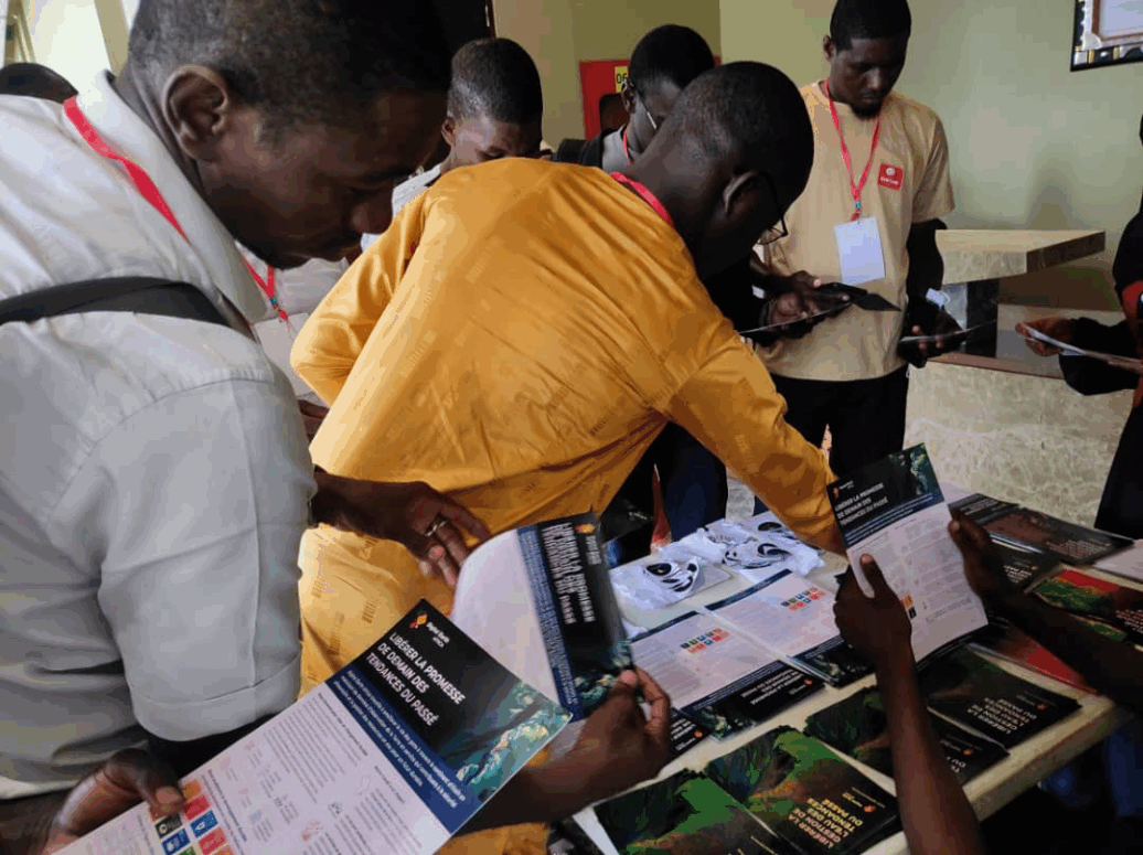
From 29–31 July 2025, Niamey hosted the 2nd Edition of the Week of Artificial Intelligence and Geospatial Technologies (SIATeG) a national annual event organised by GeoMinds Africa (formerly Drone Service Niger) in partnership with Deep Learning Indaba. The gathering brought together researchers, innovators, policymakers, and students to explore how Artificial Intelligence (AI), Machine Learning (ML), and Geospatial Technologies (GT) can drive solutions to some of Africa’s most pressing challenges.
At its heart, SIATeG is about building capacity, fostering leadership, and strengthening Nigerien and African innovation ecosystems. The 2025 theme, “Artificial intelligence and massive data: key levers for sustainable security in Niger,” captured both the urgency and potential of these technologies.
One of the highlights of the event was the contribution of Digital Earth Africa (DE Africa), which showcased how Earth observation data, combined with AI and ML, can be applied to monitor agriculture and food security across Africa. Using DE Africa’s services, participants learned how to track crop health, growth cycles (phenology), and regionally aggregated crop-type statistics. These insights are vital for policymakers, researchers, and humanitarian actors working to strengthen resilience in agriculture and ensure food security.
Beyond presentations, SIATeG emphasised skills development. DE Africa together with its implementing partner AGRHYMET Regional Center in Niger, hosted a hybrid training session that walked participants through practical workflows for crop monitoring. The training combined remote sensing data with on-the-ground observations and guided participants in using the DE Africa Sandbox for command-based crop statistics estimation. Real examples were explored, including area estimates across corn, sesame, soybeans, and mixed fields.
“By combining remote sensing with in-situ data, and embedding this in regional partnerships, we are providing powerful tools for informed food security decisions in the Sahara and Sahel,” said Dr. Mansour Mahamane, Data and Science Co-Lead at AGRHYMET. This hands-on experience allowed participants to see first-hand how AI and geospatial analysis can provide reliable, timely insights at scale, bridging the gap between complex data and actionable decision-making.
The success of SIATeG 2025 builds on the momentum of the inaugural edition in 2024. With growing participation, stronger partnerships, and tangible skills transfer, the event is steadily positioning Niger as a hub for AI and geospatial innovation in West Africa. Looking ahead, there is a clear need to expand training opportunities to reach more students and professionals, to localise solutions to Niger’s specific agricultural and environmental contexts, and to ensure that data-driven insights directly inform policy and planning.
SIATeG 2025 demonstrated that Africa is not just consuming AI and geospatial technologies but is actively shaping how they are used to tackle local challenges. By fostering community, training, and collaboration, events like SIATeG ensure that these technologies move beyond theory and into real-world impact.