 Anglais
  Português
  Français
  العربية
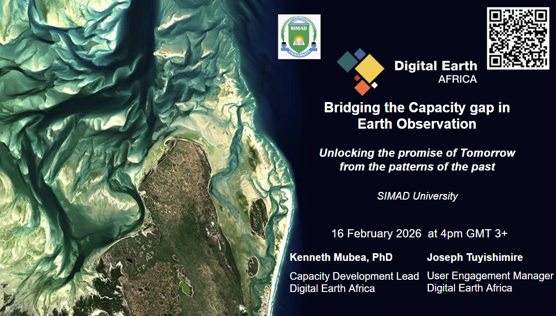
Climate shocks continue to shape Somalia’s development trajectory, yet many decisions are still made with limited access to reliable spatial data. Strengthening local capacity in earth observation is becoming essential to support agriculture, water management, urban planning, and climate adaptation.
A growing collaboration between Digital Earth Africa and SIMAD University is helping bridge that gap by equipping students and researchers with practical skills to use analysis-ready satellite data for real-world applications.
In February 2026, SIMAD University hosted a multi-institutional training that brought together participants from government and academia across Somalia. Follow-up online trainings will focus on agriculture, water resources, urbanisation, and land degradation, with students already enrolled on the Digital Earth Africa learning platform. The goal is simple, to move from theory to hands-on, data-driven application.
At the centre of this effort is Liban Hassan, Geospatial Engineer at the Institute of Climate and Environment at SIMAD University.
Can you briefly introduce yourself and your role at your institution?
My name is Liban Hassan. I am a Geospatial Engineer at the Institute of Climate and Environment at SIMAD University. My work focuses on applying GIS, remote sensing, and machine learning to climate risk analysis, flood susceptibility mapping, drought monitoring, and spatial decision-support systems in Somalia.
What first drew you to earth observation and geospatial technologies?
Somalia faces recurring droughts and floods, yet many decisions are made with limited spatial evidence. Satellite data removes guesswork. Earth observation allows us to quantify rainfall anomalies, vegetation stress, land degradation, and flood extent objectively. It converts opinion into measurable risk layers. That shift from narrative to data-driven planning is what drew me into the field.
How did the collaboration between your institution and Digital Earth Africa begin?
The collaboration began through institutional engagement around climate services and geospatial capacity strengthening. As the Institute expanded its climate analytics portfolio, we identified Digital Earth Africa as a strategic partner because of its open data cube infrastructure and Analysis Ready Data, designed specifically for Africa.
What motivated you to organise the recent DE Africa training at your university?
There is a clear gap between theoretical GIS training and operational earth observation analytics in Somalia. Students often learn mapping fundamentals, but fewer are exposed to cloud-based processing, time-series analysis, or satellite-derived indicators. The training was designed to close that gap by moving from static mapping to dynamic earth observation workflows using real datasets relevant to Somalia.
What stood out to you most from the training sessions?
The strongest signal was curiosity combined with urgency. Students were highly engaged and immediately asked how to apply NDVI, water observations, and land cover change detection to Somali drought and flood zones. Institutionally, there is growing recognition that earth observation is no longer optional. It is foundational for climate and environmental research.
How do you see Digital Earth Africa supporting teaching, research, and curriculum development at your institution?
Digital Earth Africa can strengthen both undergraduate and postgraduate teaching. Its datasets allow students to analyse environmental change, detect climate anomalies, and apply machine learning to real projects. Curriculum integration and short courses can build practical skills, while long-term collaboration creates a pathway from learning to applied research and local expertise development.
In your view, how can earth observation data strengthen evidence-based decision-making in Somalia?
Earth observation can support:
- Agriculture: Monitoring crop health, drought stress, and seasonal productivity trends.
- Water resources: Tracking river expansion, floodplain dynamics, and surface water persistence.
- Urbanisation: Mapping settlement growth and infrastructure exposure to flood risk.
- Climate adaptation: Identifying high-risk districts through hazard, exposure, and vulnerability analysis.
It enables proactive planning rather than reactive response.
What challenges do universities face in integrating geospatial and EO tools into teaching and applied research?
Key constraints include limited high-performance computing infrastructure, limited exposure to cloud-based geospatial platforms, curriculum gaps, weak interdisciplinary collaboration, and unstable funding for applied research. In many cases, GIS is still treated as a mapping tool rather than a quantitative analytical discipline.
What advice would you give to students and young professionals interested in building careers in earth observation?
Do not focus only on software interfaces. Build strong foundations in spatial statistics, programming, especially Python, remote sensing fundamentals, and data interpretation. Stay problem-driven. Tools will change, but analytical thinking will always matter.
Looking ahead, what would a successful long-term partnership look like?
A successful partnership would include joint research publications focused on Somali climate risks, integration of Digital Earth Africa datasets into formal curricula, student research fellowships, national-level policy engagement using earth observation outputs, and co-developed climate dashboards for decision-makers.