 Anglais
  Português
  Français
  العربية
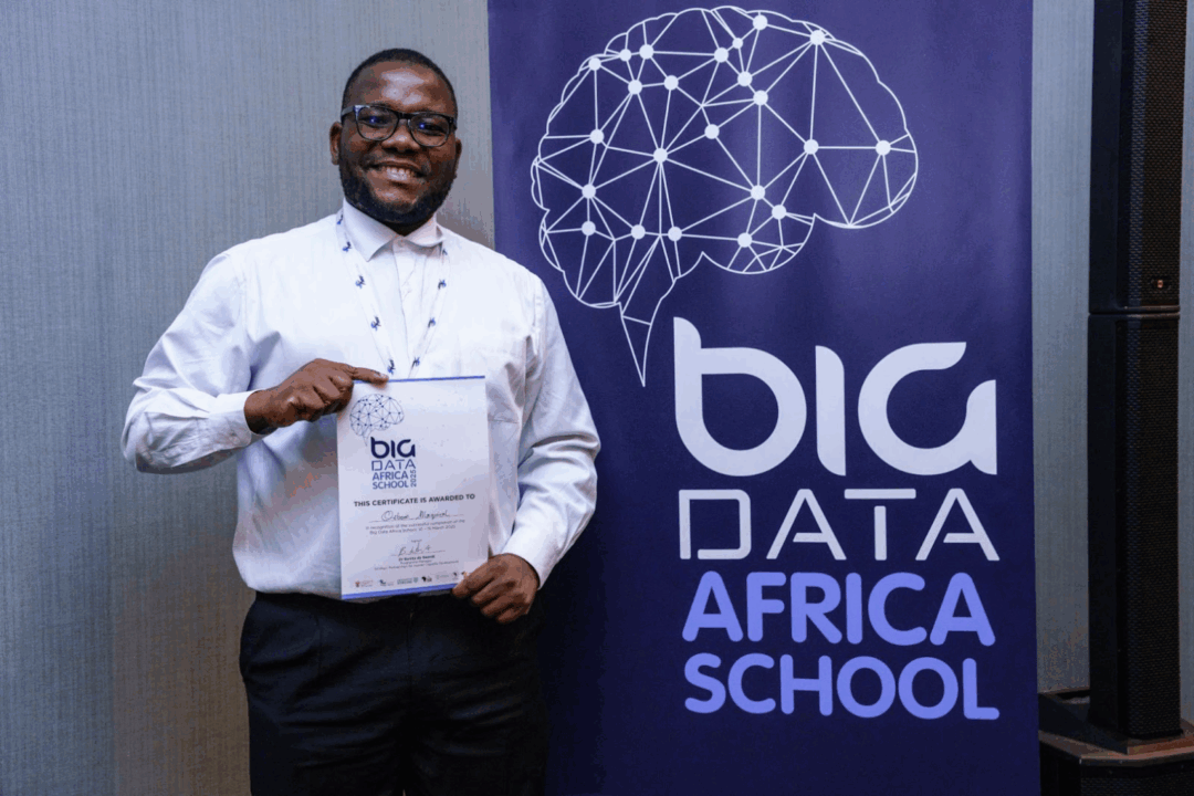
Osbone Antonio Maquival is a mathematician from Mozambique whose journey into Earth Observation began at the Big Data Africa School. There, he was introduced to Digital Earth Africa’s tools, which opened the door to using satellite data for real-world challenges. That foundation propelled him to the Africa Climate Summit in Addis Ababa, where he showcased how DE Africa supports climate action and continues to inspire his current work in flood mapping and environmental monitoring. In this spotlight, he shares how his academic background in mathematics and statistics blends with EO tools to drive impactful solutions for Africa.
Parlez-nous un peu de vous. Quelle est votre formation universitaire et qu'est-ce qui a suscité votre intérêt pour l'observation de la Terre ou le domaine dans lequel vous travaillez actuellement ?
I have a degree in Mathematics and Statistics from Licungo University in Mozambique. I also completed a Master’s in Mathematical Sciences at the African Institute for Mathematical Sciences (AIMS). My focus is on mathematical modeling, especially for tropical diseases like malaria, and on using Earth Observation (EO) data to study climate change, public health, and the environment.
How did you discover Digital Earth Africa, and what drew you to its tools?
I first learned about Digital Earth Africa during the Big Data Africa School. We were trained to use DE Africa tools, and from that moment I started my journey on the platform. What attracted me most was the open access to powerful satellite data and tools, which help young African researchers like me work on real problems with limited resources.
What’s the focus of your current research or project, and how does EO data help?
Right now, I am working on a project called Flood Extent Mapping. I use DE Africa tools and data to create a Deep Learning model for mapping floods. The platform helps because of its strong computing power and free access to data. I also use DE Africa for other tasks, like monitoring conservation areas. During my internship in a national park, DE Africa supported me with analysis to better understand the environment and support decision-making.
Quels ensembles de données ou carnets de notes spécifiques à DE Africa avez-vous utilisés dans votre analyse ?
The most useful dataset for me is WOFS (Water Observations from Space), because it is perfect for flood and water studies. But I also explore many other datasets. I usually start with Africa Maps, which is simple to use, and then move to the Sandbox, where I can do advanced analysis. Sometimes I watch tutorials on YouTube to learn how to interpret the data and use the tools better.
Can you share one achievement or insight that DE Africa helped make possible?
One big achievement was being selected as a Young Climate Action Innovation Hub at the Africa Climate Summit in Addis Ababa. There I showed how DE Africa tools help us build solutions for climate change and make Africa more resilient. I also joined the International Camp for Young Builders, Architects, and Designers in the group City as Code: Programmable Urbanism. My experience with DE Africa gave me the skills to contribute to that project on urban development.
Have you collaborated with others through DE Africa? How has that shaped your work?
Yes. I worked with colleagues I met at the Big Data Africa School, from South Africa, Ghana, Madagascar, Namibia, and Zambia. I also collaborated directly with the DE Africa team, for example by presenting the Africa Earth Observation Challenge 2025 (#AEOC2025) in Portuguese. These collaborations helped me learn new methods and build connections with people across Africa and beyond.
What’s the biggest challenge you see for EO adoption in African research, and any ideas to overcome it?
The biggest challenge is the language barrier. Many resources and trainings are only in English, which makes it hard for researchers in Portuguese-speaking countries like Mozambique and Angola. To solve this, DE Africa should expand training and materials in Portuguese. This would help more African communities use the platform and remove barriers in learning.
What would you like to see DE Africa achieve next for researchers across the continent?
I hope DE Africa can reach more Portuguese-speaking countries and organize trainings in local languages. This would allow researchers from all regions of Africa to benefit from the tools and use EO data for local problems.
One piece of advice for a young researcher wanting to use DE Africa’s tools?
My advice is: just start exploring. DE Africa is open and free for everyone. Do not be afraid to try, make mistakes, and learn. Use the tutorials, ask questions, and connect with the community. Also, always try to connect the data with real problems in your country, like floods, agriculture, conservation, or climate change. This will make your work more useful for society. If you stay curious and consistent, you can grow step by step, and one day you may lead big projects that make a difference in Africa.