 Anglais
  Português
  Français
  العربية
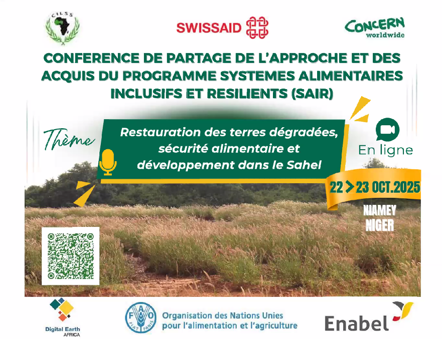
In the Sahel region, where climate pressures and human activities continue to erode ecosystems, communities are seeking innovative ways to restore degraded land and enhance food security. In October 2025, experts, decision-makers, and community leaders from across West Africa gathered at the AGRHYMET Regional Centre in Niamey, Niger, to explore concrete solutions as part of the regional workshop on “Inclusive and Resilient Food Systems: Land Restoration, Food Security, and Development in the Sahel.”
Digital Earth Africa (DE Africa) participated in the discussions as a technical partner, presenting how open-access Earth observation data can strengthen decision-making and accelerate restoration and food security initiatives in the region.
Transforming satellite data into local action
During the workshop, DE Africa presented its Land Degradation and Restoration Monitoring service, a cloud-based application that assesses vegetation changes, identifies degraded areas, and tracks the progress of restoration efforts over time. By making ready-to-analyse data available through an intuitive platform, DE Africa helps planners and practitioners take action based on reliable, up-to-date information.
“Land degradation remains one of the greatest threats to food security in the Sahel,” said Joseph Tuyishimire, representative of Digital Earth Africa. “By transforming satellite data into actionable information, our goal is to equip governments, researchers, and communities with the tools they need to restore degraded land and build resilience to climate change.”
Participants also learned about DE Africa’s food security monitoring applications, which combine vegetation indices, precipitation estimates, and soil moisture data. These tools are particularly useful in areas where agricultural productivity is highly dependent on variable climatic conditions, enabling the anticipation of risks and improved planning for growing seasons.
Strengthening regional resilience
The training was part of the “Inclusive and Resilient Food Systems (SAIR) Project” supported by SWISSAID, and focused on the links between land restoration, carbon sequestration, and sustainable livelihoods.
DE Africa’s participation complemented AGRHYMET’s mission to strengthen regional capacities for data-driven environmental management in the CILSS/ECOWAS region. Through tool sharing, open access to data, and collaborative learning, the two institutions are helping West African countries leverage emerging science and technology for long-term resilience.
Data for sustainable decisions
Throughout the two days of discussions, representatives from government agencies, research institutes, NGOs, and farmer organizations participated in practical sessions on integrating Earth observation tools into national monitoring frameworks. Discussions highlighted the importance of regional cooperation, community participation, and strengthening data ecosystems to support restoration and food security planning.
The lessons learned from this workshop will help guide the next phase of the SAIR project and feed into a broader vision of sustainable, inclusive, and data-driven development for the Sahel.