 Anglais
  Português
  Français
  العربية
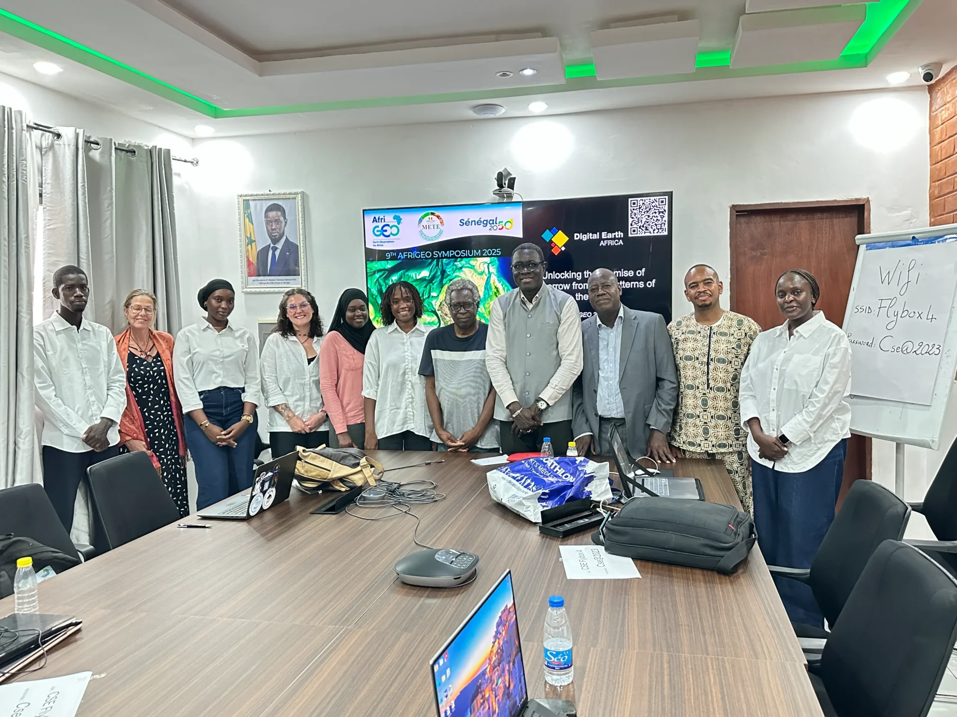
At the AfriGEO Symposium in Dakar, Digital Earth Africa (DE Africa) led and participated in a series of sessions that reflected our core focus areas. From coastline management to youth engagement, to strengthening how science is communicated and applied across the continent. Together, these discussions underscored DE Africa’s role as both a data provider and a catalyst for impact.
One of our anchor contributions centred on the coastal and marine domain, aligning with our commitment to support Africa’s coastal nations through open, Earth-observation-driven services. During the training and demonstration sessions, we showcased how DE Africa’s datasets and processing workflows can be used to monitor shoreline change, map mangroves, assess erosion risk, and understand sea-level impacts using open, scalable tools. These tools were particularly contextualized for the West Africa Coastal Areas (WACA) countries and other partners. Real use-cases were demonstrated, feedback gathered, and pathways for national adoption discussed.
In the broader technical sessions on the blue economy, DE Africa joined experts to explore how satellite observations, ocean modelling, and decision-support tools can help protect and manage Africa’s coastlines. The message was clear: our oceans and coastal ecosystems are under increasing pressure, and data must be transformed into timely insights that guide resilience planning, fisheries management, infrastructure development, and climate adaptation.
Youth engagement was another strong pillar of DE Africa’s participation. Through the Youth-Led Solutions session and our support for the AfriGEO Youth Community of Practice (CoP), we highlighted how outreach, mentorship, and capacity initiatives can nurture emerging geospatial talent across Africa. The session featured examples of youth-led projects in mapping, local decision-support tools, and small-scale EO applications that are already making a difference. The discussions emphasized that young geospatial professionals are not the future of the field, they are shaping it now, and DE Africa remains committed to supporting their journey through collaboration and co-creation.
In a pre-symposium training session titled Communicating Science Insights, co-convened by DE Africa, CSE and GEO Blue Planet, participants explored how geospatial science can be translated into compelling, decision-ready narratives. The conversation focused on tailoring messages for different audiences, using visualization and storytelling to make data more accessible, and creating feedback loops that allow users to shape how science is packaged and shared. The session reinforced a key principle that technical excellence must be matched by effective communication and user uptake.
Beyond the sessions, DE Africa hosted an exhibition booth where we interacted with delegates from government institutions, research organization, students and the private sector. Many visitors expressed interest in integrating DE Africa services into national systems and training initiatives, reinforcing the program’s growth impact and visibility across the continent.
Across all engagements, feedback from participants particularly from national agencies and ministries highlighted the importance of local adaptation, usability, and the need to sustain capacity beyond project cycles. Attendees appreciated that DE Africa’s approach is not to deliver tools in isolation, but to co-design, localize, and support institutional uptake.
Throughout the symposium, DE Africa’s contributions aligned strongly with AfriGEO’s core pillars of data-to-impact, infrastructure, inclusivity, and partnerships. Our sessions and exhibition presence were not side exhibits but central to the dialogue thus demonstrating that geospatial intelligence must connect the coast to the hinterland, amplify youth leadership, and turn science into action for Africa’s sustainable future.