 Anglais
  Português
  Français
  العربية
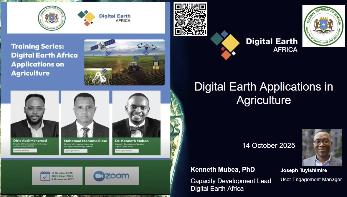
In Somalia, environmental change and climate variability continue to shape livelihoods, food security, and sustainable development. Timely and reliable data are essential to guide response and recovery efforts, yet many institutions face challenges in accessing and interpreting the information needed to act.
To address this, Digital Earth Africa (DE Africa), in collaboration with Somalia’s Ministry of Agriculture and Irrigation, delivered a three-phase online training programme to strengthen national capacity in the use of Earth Observation (EO) for agriculture, water, and environmental management.
Held on 14 October, 28 October, and 4 November 2025, the sessions brought together participants from several key government agencies, including the Ministry of Agriculture and Irrigation (MOAI), the Ministry of Livestock, Forestry and Range (MOLFR), the Ministry of Fisheries and the Blue Economy, the Somalia National Bureau of Statistics (SNBS), the Somali Disaster Management Authority (SODMA), and the Ministry of Environment and Climate Change (MOECC).
Phase 1: Building familiarity with EO platforms and data discovery
The first session introduced participants to the fundamentals of Earth Observation and DE Africa’s suite of open-access tools. Using DE Africa Maps and the DE Africa Sandbox, participants learnt how to visualise and manipulate satellite data to understand land dynamics across Somalia.
The session emphasised the importance of EO literacy and demonstrated how data layers from DE Africa’s platforms can support ministries in policy formulation, agricultural planning, and environmental assessments. By the end of this phase, participants had developed foundational skills to navigate EO datasets, identify key geospatial indicators, and begin integrating satellite-derived insights into their workflows.
Phase 2: Applying EO to agriculture and vegetation monitoring
The second phase deepened the technical focus, exploring how Earth Observation can enhance agricultural decision-making. Through case studies and live demonstrations, participants examined how to monitor crop health, vegetation changes, and land degradation over time.
The Vegetation and Crop Monitoring module showcased how DE Africa’s vegetation indices and time-series analyses can support SDG reporting, yield forecasting, and climate resilience planning. Practical exercises illustrated how EO tools can bridge data gaps in areas with limited ground-based observations, providing early indicators of agricultural stress before it becomes visible on the ground.
Phase 3: Flood and water monitoring for risk reduction
The final phase, held on 4 November 2025, focused on water dynamics, a critical topic in Somalia, where both drought and flooding regularly affect communities. Participants learnt how to map water extent and floods using both optical and radar data, alongside rainfall datasets.
This session also introduced the development of use cases that translate satellite-derived insights into policy-relevant applications. By combining data-driven flood mapping with local expertise, institutions can now enhance early warning systems, strengthen climate adaptation strategies, and improve long-term resource management.

Mohamed Dirie Abdi Mohamed, Director of Mechanisation, Technology and Innovation, Ministry of Agriculture and Irrigation (MOAI), noted the value of the training provided by DE Africa and shared plans to organise follow-up sessions in January 2026. These will help stakeholders further integrate DE Africa’s tools into their workflows, enabling Somalia to embrace Earth Observation for natural resource management, agriculture, and food security.
Empowering Somalia’s data ecosystem
The successful completion of this three-part training marks a significant step forward in building Somalia’s capacity for data-driven decision-making. Participants concluded the series with practical skills in accessing, analysing, and applying DE Africa’s EO products to support their respective mandates.
Through this initiative, DE Africa continues to foster regional expertise in Earth Observation, ensuring that satellite data are transformed into actionable insights that inform policy, strengthen resilience, and support sustainable development.
As Somalia continues to address the challenges of land degradation, food insecurity, and climate variability, the knowledge gained from this training will play a vital role in advancing evidence-based planning and environmental stewardship.