 English
  Português
  Français
  العربية
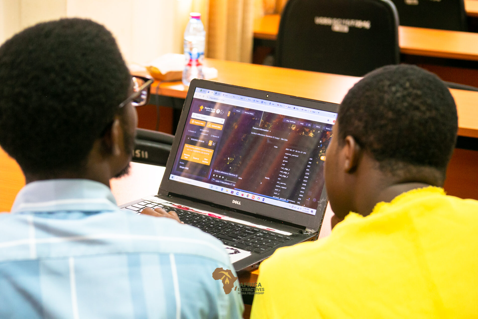
When Edward Boamah, Technical Manager at Digital Earth Africa, walked into a room full of journalists in Accra in February 2026, he brought with him something most newsrooms rarely consider part of the reporting toolkit: satellite imagery.
The session, delivered as part of the Africa Extractives Media Fellowship’s inaugural Ghana cohort, introduced thirty working journalists to the possibilities of geospatial data and how it can be used to track environmental change, monitor land use, and tell complex stories about Africa’s extractive industries in ways that are both visually compelling and analytically rigorous.
For journalists covering mining, oil and gas, and green minerals, the implications are significant. Illegal mining leaves traces visible from space. Deforestation linked to extractive activity can be mapped over time. Coastal and river degradation often the first casualty of resource extraction, can be documented with precision that ground-level reporting alone cannot provide.
Digital Earth Africa’s open-access platform puts these tools within reach. Built on decades of satellite observation data covering the entire African continent, it allows users to analyse land cover change, water body shifts, and vegetation loss without specialist training or expensive software.
For the AEMF fellows, the session opened a new dimension of what modern journalism can look like. Rather than relying solely on official statements or site visits, journalists can now interrogate the landscape itself by comparing what companies and governments say with what the data actually shows.
The fellowship, established by NewsWire Africa and running from October 2025 to May 2026, brought together thirty journalists from across Ghana’s media landscape (television, radio, print, and digital ) to build specialist capacity in extractives reporting. Digital Earth Africa was among a range of partners contributing curriculum expertise alongside institutions including the Ghana Chamber of Mines, the West Africa Network for Peacebuilding, and the National Petroleum Authority.
The integration of satellite and remote sensing tools into journalism training reflects a broader shift in accountability reporting across the continent. As investment in Africa’s mineral sector accelerates particularly in critical minerals like lithium, cobalt, and copper, the demand for journalism that can match the complexity of what is happening on the ground has never been greater.
Digital Earth Africa’s contribution to the AEMF is one example of how Earth observation data, for long has been the domain of scientists and policymakers, is finding new purpose in the hands of reporters committed to holding the extractive sector to account.