 English
  Português
  Français
  العربية
 Digital Earth Africa
Waterbodies Continental Service
Revolutionising Waterbodies Monitoring Across Africa
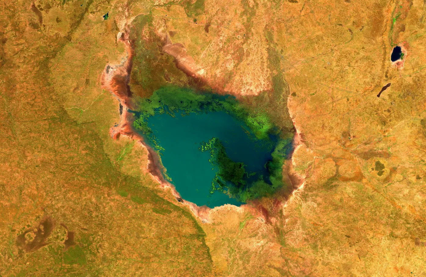
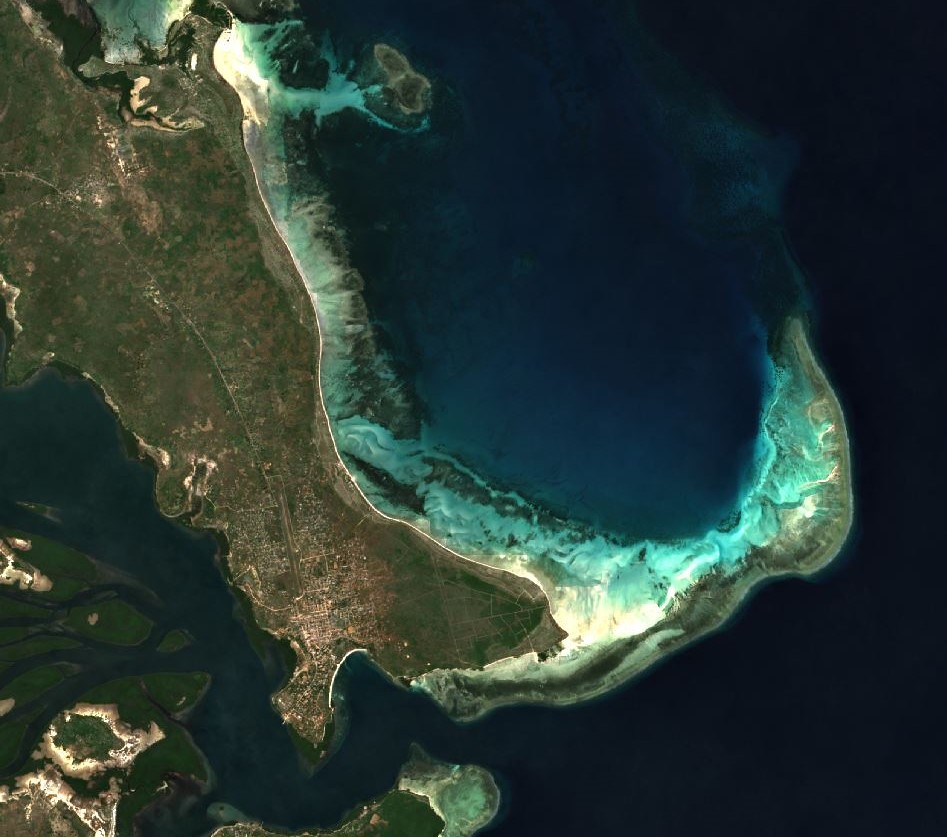
The Digital Earth Africa Waterbodies Monitoring Service is a continental service based on over forty years of satellite observations that enables monitoring of more than 700,000 unique waterbodies across Africa. Updated on a weekly basis, persistent and seasonal waterbodies are mapped along with changes in the surface area of water in each of these over time. Waterbodies include lakes, ponds, man-made reservoirs, wetlands, and segments of river systems.
Designed to support monitoring and management of individual or collections of water bodies, the service is unique among satellite-based global surface water datasets given the accessible and operational nature of the service and the focus on providing timely, relevant and interpretable information to decision makers.
Key Features
Comprehensive Coverage
Including African waterbodies’ locations and surface area change at a 30m spatial resolution from 1987 to the present day. Updates data weekly with the latest satellite measurements, providing timely and relevant information.
Depth of Insight
The dataset provides the surface extent and wet surface area as a time series for each water body and enables a detailed understanding of surface water availability, dry season access to water, changes in water body sizes over time, and potential flood risks.
Interoperability
An API ensures that service providers and product developers can directly integrate these data into their work, thereby creating customised queries around water body extent, historical wet surface area, and changes related to these.
Applications of the Waterbodies Monitoring Service
The Waterbodies continental service supports Africa’s governments, policymakers, and key private sector actors in undertaking insightful planning, adopting critical risk mitigation strategies, and proactively managing Africa’s settlements, cities, communities, and livelihood activities which are dependent on – or adjacent to – waterbodies.
Applications
Monitoring Water Availability
The service provides insights into surface water availability during dry seasons, enabling proactive planning for water resource management and ensuring access to essential water supplies.
Understanding Environmental Change
Through historical and near real-time data, the service identifies trends in the size and surface extent of waterbodies, helping users understand long-term environmental changes as well as the impact of shorter climatic events such as droughts.
Assessing Flood Risks
By analysing variations in water surface areas, the service aids in predicting potential flood risks, improving disaster preparedness and mitigation strategies for vulnerable communities.
Related Use Cases
November 20, 2025
Mapping East Africa’s wetlands with local expertise to safeguard them for the future

October 30, 2025
Pan-African symposium explores digital solutions for water management in Addis Ababa