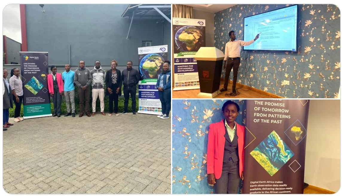
Naivasha training equips environmental experts with new skills for wetland inventory and monitoring.
In early July 2025, Naivasha played host to a four-day training that could transform how Kenya maps, monitors, and manages its wetlands. The Wetlands Inventory Mapping Training led by the Regional Centre for Mapping of Resources for Development (RCMRD) in collaboration with National Environment Management Authority (NEMA) and supported by Digital Earth Africa (DE Africa), brought together 12 experts from government agencies, research institutions, and conservation organizations.
NEMA played a key role in mobilizing participants, ensuring representation from institutions such as the Kenya Wildlife Service, Wildlife Research and Training Institute, Worldwide Fund for Nature-Kenya, and county governments, fostering cross-sector collaboration that is essential for effective wetlands management.
The training aimed to tackle a longstanding challenge, despite their ecological and economic importance, Kenya’s wetlands remain underrepresented in national datasets. Many are seasonal, hard to classify, and irregularly monitored, leaving critical gaps in conservation planning and policy implementation.
Participants were introduced to the DE Africa Platform and Sandbox, a cloud-based environment pre-loaded with satellite imagery and powerful Earth observation (EO) tools. Through practical exercises, they learned to prepare training data and balance datasets using stratified sampling, derive terrain and hydrological features from digital elevation models, apply extraction techniques for wetland classification and use Random Forest machine learning models to predict wetland types.
They put these skills to work on real-world case studies, including Lake Naivasha and Yala Swamp, developing inventory maps that could be used for monitoring degradation, mapping seasonal wetlands, and prioritizing conservation zones.
By the end of the week, participants not only gained technical skills but also produced use case scenarios aligned with their organisational priorities. For RCMRD and DE Africa, the training underscored opportunities to position RCMRD as a regional hub for wetland monitoring, support national and regional inventory updates and feed into global and regional reporting frameworks, including the Ramsar Convention and the Sustainable Development Goals (SDGs 6 & 15).
The strong demand for the training, which many institutions expressed interest in but could not be accommodated, points to the need for scaling up. Both RCMRD and DE Africa see potential in diversifying funding sources, strengthening partnerships, and embedding EO-based wetland monitoring into national policy and conservation strategies.
As Linet Bala, National Environment Management Authority, Wetlands Officer noted in her feedback, “This training has shown us that with the right tools, mapping wetlands doesn’t have to be sporadic or outdated, it can be accurate, timely, and decision-ready.”
With skills, data, and collaboration in place, Kenya is a step closer to putting its wetlands on the map.
 English
  Português
  Français
  العربية