 English
  Português
  Français
  العربية
 Digital Earth Africa
Urbanisation
The Challenge
Tackling Africa’s Rapid Urbanisation
Urban resilience in Africa is challenged by rapid urbanisation and climate change. The urbanisation rate, or the rate at which cities and towns grow, is an important indicator of the sustainability of towns and cities. Rapid, unplanned urbanisation can result in poor social, economic, and environmental outcomes due to inadequate and overburdened infrastructure and services. The outcome can lead to congestion, worsening air pollution, and a shortage of adequate housing.
The first requirement for addressing the impacts of rapid urbanisation is to accurately and regularly monitor urban expansion to track urban development over time.
The Solution
Transforming Urban Growth Mapping
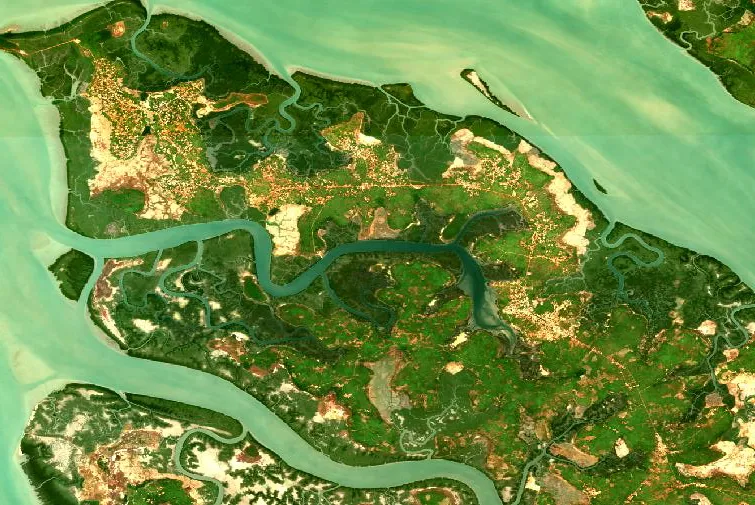
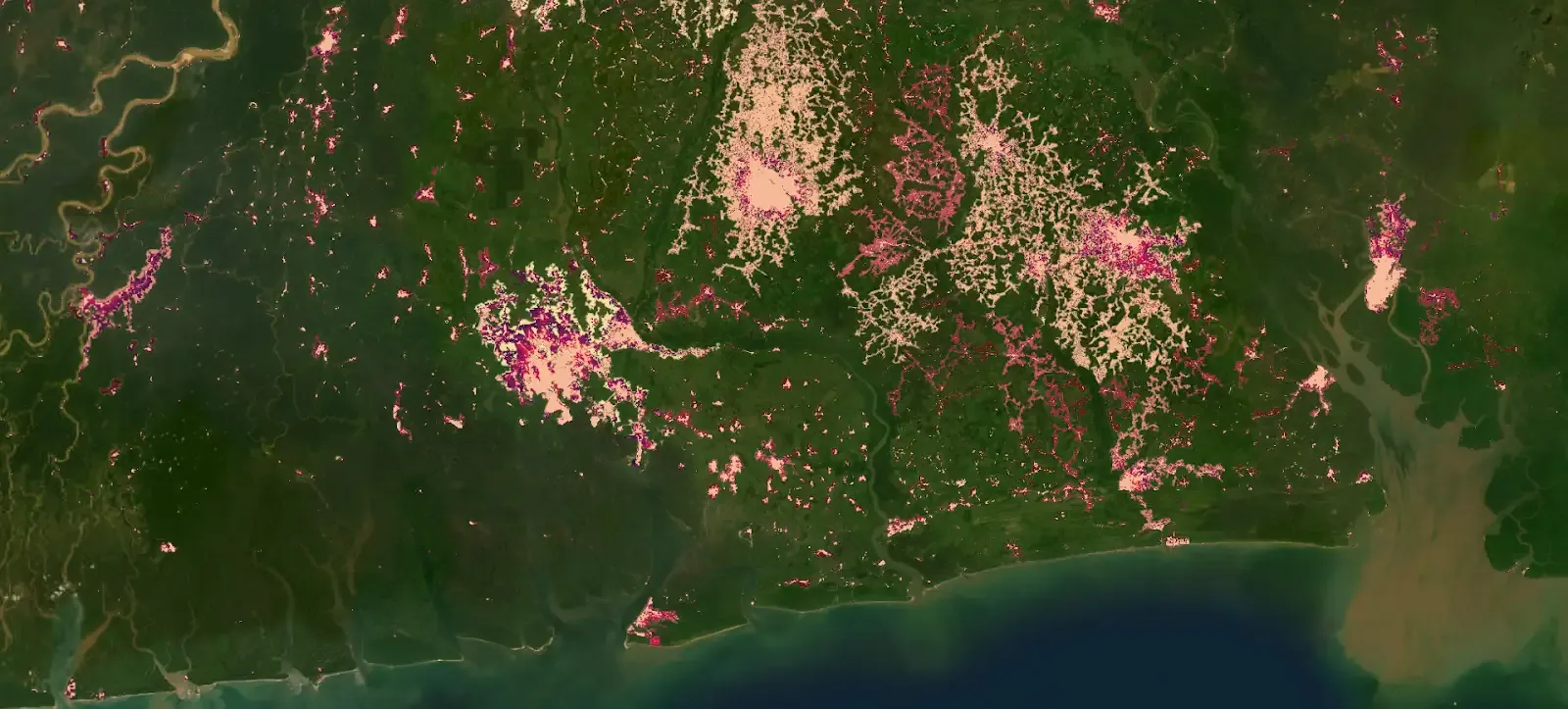
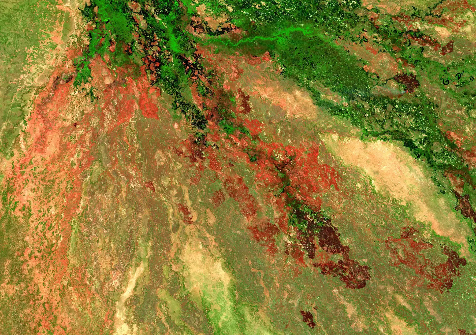
Digital Earth Africa’s datasets provide a cost-effective and accurate means to map urban extent, which encompasses the land area where human settlements, including cities, towns, and their surrounding areas, are concentrated. With satellite Earth observations from 1984 until the present, changes in urban areas can be assessed, offering valuable insights to inform sustainable urban development.
Urban Extent and Change
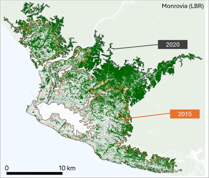
Datasets on urban extent and change from the European Space Agency are made available through Digital Earth Africa along with tools to extract and analyze urbanisation statistics for specific African cities over time. Alternately users can implement their own analysis for anywhere on the continent by selecting the approach used, based on the characteristics of the individual cities or settlements of interest, and quantify urban expansion between time periods and map hotspots of urban growth.
Urban Agglomerations
Digital Earth Africa provides access to Africapolis, a standardised geospatial database on urbanisation dynamics in Africa. Africapolis boundaries can be combined with other data sources to track sustainability and inclusivity. By integrating with population density and Digital Earth Africa data users can pinpoint flood-prone areas in densely populated regions. These insights can inform better urban planning, helping governments pre-empt challenges such as overpopulation and unsuitable settlement areas.
Urban Resilience
Digital Earth Africa’s digital infrastructure enables assessments of urban resilience, supporting comparable assessments across countries and across time. Analytical tools are available to calculate indicators for urban green space and tree cover for all major African cities, providing decision-makers with up-to-date data to support resilient and sustainable urbanisation.
The Impact
Solutions for Urban Expansion

August 1, 2025
Building the next generation of Earth observation leaders at Wits University

February 24, 2025
OECD Sahel and West Africa Club and Digital Earth Africa: A shared vision for data-driven insights for Africa
Related Topics
Cropland Extent Map
A provisional service for the cropland extent map is now available on the Digital Earth Africa Map. It covers the entire African continent, including Madagascar, Mauritius, Reunion and Comoros.
Enabling Climate Action
Africa is at the frontline of the climate crisis. The human and economic impacts of climate extremes such as droughts, flooding and rising sea levels are already being felt across the continent.

Water Resources & Flood Risks
Africa faces more frequent water disasters, like floods, causing widespread destruction and hundreds of fatalities across the continent.