 English
  Português
  Français
  العربية
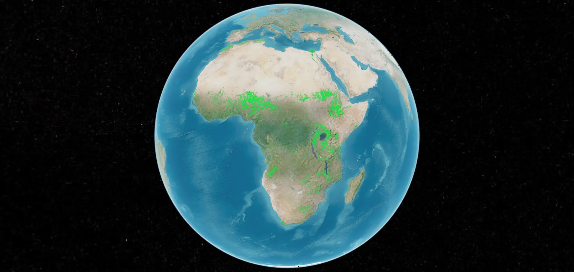
As timely and actionable satellite data increasingly become a powerful tool for managing land, water, and environmental resources, the ability to locally host and tailor Earth observation data infrastructures is emerging as an important consideration. A recent collaborative effort between Digital Earth Africa (DE Africa) and Kenya Space Agency (KSA) exemplifies how countries can localise and customise Open Data Cube (ODC) deployments to meet specific internal and national needs.
The ODC is a free, open-source software package that simplifies the management and analysis of large amounts of satellite imagery and other Earth observation data. It allows users to easily access, process, and analyse decades of geographical data to track changes on the Earth’s surface over time. ODC is designed to help scientists, researchers and government agencies make better-informed decisions in areas such as environmental issues, land use and resource management. DE Africa is the world’s largest operator of the ODC infrastructure.
While DE Africa offers an open-access digital data infrastructure enabling anyone to freely use its Earth observation datasets, the KSA expressed interest in developing a dual-access model: a localised sandbox environment with restricted datasets for authorised internal users, alongside a publicly accessible space for general users.
It was envisioned that initially, the Agency’s sandbox environment would be aimed at internal access. However, long-term plans could potentially involve expanding to a public-facing model while maintaining layered permissions for different user types. This approach would ensure sensitive or strategic data remains protected while still encouraging broader public use of open datasets.
Supporting the deployment
Victoria Neema, a DE Africa data scientist based in Kenya, explains that to support the initiative, DE Africa provided guidance based on its own “Africa Cube in a Box” framework. “This is an easily deployable, laptop-based instance of the ODC,” says Neema, “that acts as a base repository for local or cloud-based deployments, compatible with Digital Earth Africa’s tools and infrastructure. KSA could use this deployment template as a foundation – either directly or by adapting selected components – to suit their specific setup.”
Jacques Matara, Deputy Director of Space Research and Innovation at the KSA, states that the Agency’s deployment is ultimately following a more complex path. “We are opting for a locally deployed high-performance computing (HPC) environment instead of a fully cloud-based infrastructure like the AWS-based platform used by DE Africa. While this approach requires more technical capacity to manage, it aligns better with our data governance and security policies in handling datasets.”
Overcoming technical challenges
With support from the DE Africa team, the Agency navigated early integration challenges. Key differences, particularly between local and cloud environments, meant the solutions could not be applied wholesale. However, collaborative working sessions with DE Africa’s team of scientists helped align technical requirements and fostered knowledge exchange on topics like indexing remote data directly from Amazon S3 buckets instead of downloading full datasets. This enabled the agency to access the data without incurring high storage costs, a critical consideration for large-scale satellite imagery.
A scalable model for others?
Matara says, “The process is still in its early days, but it is something that KSA has been committed to pursuing to enable us to leverage DE Africa’s openly accessible and analysis-ready datasets in an environment unique to Kenya, to meet our specific data analysis and modelling needs.”
This initiative could serve as a blueprint for other organisations or governments across Africa seeking to implement similar localised Earth observation capabilities. However, it’s important to note that each implementation would have to be tailored to local constraints and goals, especially when balancing performance, accessibility, and data governance.
This project highlights the adaptability of the ODC as implemented by Digital Earth, and underscores the value of collaborative knowledge-sharing to build local capacity in data-driven decision-making.