 English
  Português
  Français
  العربية
Africa’s coasts are under pressure. Rising seas, climate change, and human development are reshaping shorelines, threatening ecosystems, infrastructure, and communities. To address this, the Coastlines Monitoring Project in Eastern and Southern Africa (CMP-ESA) partnered with Digital Earth Africa (DE Africa) and RCMRD to monitor coastline changes in Comoros and Djibouti, providing a reliable, data-driven foundation for coastal planning.
Running from June 2024 to November 2025, CMP-ESA harnessed Landsat and Sentinel satellite imagery to map erosion and accretion trends from 1984 to the present. Using the DE Africa Sandbox and Jupyter notebooks, teams generated detailed maps showing how shorelines are shifting over time, a vital tool for governments, researchers, and local communities.
Field validation played a critical role. Teams travelled to Comoros’ Ngazidja & Moheli islands and Djibouti, collecting ground-truth data to refine draft maps. In Comoros, the Cartographic Unit and Ministry of Territorial Planning helped identify areas vulnerable to erosion, while in Djibouti, the Centre d’Etude et de Recherche provided GPS and high-resolution imagery for accuracy checks. These field missions ensured that the maps not only captured satellite trends but also reflected on-the-ground realities.
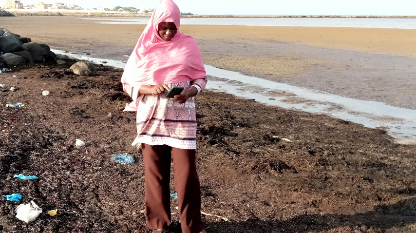
Capacity building followed. Workshops trained 27 participants across government, research institutions, and NGOs, including ministries of environment, agriculture, and family affairs. DE Africa prioritized gender inclusion, with women making up a significant portion of the trained cohort. Participants explored the coastline data, learned to run DE Africa notebooks, and developed practical use cases, from tracking erosion near Djibouti City to assessing volcanic impacts on Comoros’ protected areas.
The project also emphasised communication and awareness. Blogs, social media campaigns, and webinars showcased the tools’ value and promoted their adoption across Eastern Africa. The message was clear: with DE Africa’s Coastlines service, African countries can anticipate coastal changes, plan infrastructure sustainably, and protect communities.
Challenges included language barriers; Comoros and Djibouti are primarily French-speaking, and tight training schedules. The team addressed this by engaging translators and adapting session timings, ensuring effective knowledge transfer.
CMP-ESA has equipped stakeholders with the tools and skills to monitor Africa’s coastlines consistently. By blending satellite imagery with local expertise, DE Africa and RCMRD are supporting evidence-based coastal management, helping communities adapt to change and secure their shores for future generations.