 English
  Português
  Français
  العربية
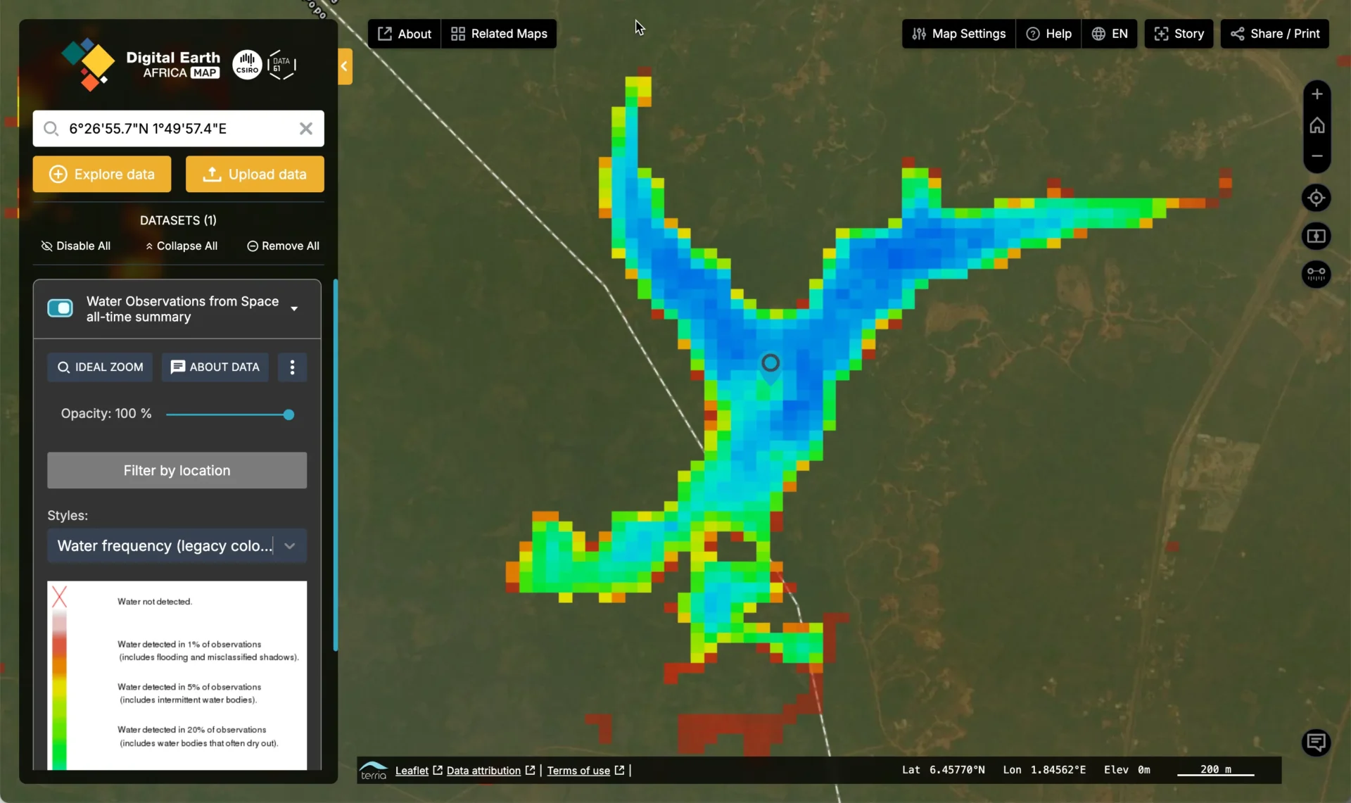
In May 2025, Lake Tikpan in Benin experienced an alarming event. A mass fish kill, reported to the Direction of Fisheries Production, affected both farmed and open-water fish species. For the Drè community in Houéyogbé, this was more than an environmental incident; it was a clear signal of the need for closer monitoring and better management of the lake’s health.
Covering 10 hectares, Lake Tikpan is more than just a waterbody. It sustains livelihoods, supports biodiversity, and is central to the local economy and culture. When its health is at risk, it definitely affects the well-being of the people who depend on it.
Using Earth Observation to strengthen lake management
To help address these challenges, partners are turning to Earth observation (EO) technology. With satellite data, water quality can now be tracked more effectively, enabling faster and better-informed decision-making.
Key parameters such as pH, oxygen concentration, temperature, and vegetation cover can be monitored remotely and over time. This approach provides:
- Early warning of environmental changes that could impact fish populations.
- Clear mapping of affected areas to guide targeted action.
- Historical and predictive analysis to inform long-term lake management.
From data to action
The objective is not just to respond to incidents after they occur, but to build resilience and prevent them in the future. Combining EO data with local knowledge creates a more complete understanding of the lake’s ecosystem, supporting measures to protect fish populations, reduce pollution risks, and maintain livelihoods.
Lake Tikpan’s story reflects a wider effort across Africa: using geospatial technologies to close data gaps, strengthen environmental monitoring, and support communities in managing natural resources sustainably.