 English
  Português
  Français
  العربية
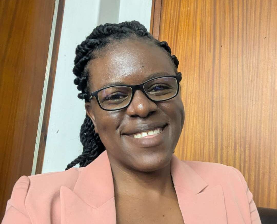
Letwin Pondo is a Geospatial Engineer and a leading voice for youth empowerment through Earth Observation. Based in Zimbabwe, Letwin has made it her mission to equip the next generation with the skills and confidence to use Earth Observation (EO) tools like Digital Earth Africa (DEA) to tackle real-world challenges across the continent.
Through training programs, university outreach, and even sessions for high school students, Letwin has become a mentor and role model for young people navigating their way into the geospatial world. Her work goes beyond technical teaching. She helps students see themselves as problem-solvers, leaders, and innovators.
The proof? Her students are not only talking about EO but also using it. From flood assessment projects to predictive dam monitoring using satellite data and machine learning, her trainees are turning classroom exposure into community impact. In this interview, Letwin talks about her journey, her partnerships, and why access to data and digital tools is critical for Africa’s future.
1. Please provide a bit of background about yourself, including academic and teaching/lecturing background, and what sparked your interest in Earth Observation and geospatial sciences?
As a young Geospatial Engineer from Zimbabwe, my academic background is rooted in Geomatics. While I haven’t held formal lecturing positions at an institute, a significant part of my work involves training and capacity building. This often happens through my various roles with the Humanitarian OpenStreetMap Team, OpenStreetMap, YouthMappers communities, professional organisations, Geo-Connect, and my involvement with the Group on Earth Observations Youth Community of Practice.
What truly sparked my interest in Earth observation and geospatial sciences was witnessing firsthand the pressing challenges in my home country, particularly in areas such as disaster vulnerability, droughts, and water scarcity. I quickly realised that these powerful tools, especially satellite data, offer tangible solutions and a unique way to understand, monitor, and address complex problems. The ability to visualise data and derive actionable insights from satellite imagery felt like a superpower for driving positive change.
I’ll admit, I had no idea this technology even existed when I left high school. All I had was a passion for maps and a desire to solve societal and environmental problems using cartography. That passion, along with a strong urge to bring more young people into the field, opened the door to a wide range of technologies, including Earth Observation.
2. Please explain your tenure with the Zimbabwe Institute of Geomatics.
As a Zimbabwean Geospatial Engineer, I maintain an active and supportive relationship with the Zimbabwe Institute of Geomatics (ZIG). I recognise and value ZIG’s crucial role in upholding professional standards, fostering development, and building a strong community for geomatics practitioners in Zimbabwe. I actively participate in its initiatives and view the institute as a vital platform for advancing our profession nationally.
I’m proud to share that I also serve in a leadership role within ZIG, heading its network of Young Geomaticians. This is my second year in office. We run the Level-Up Friday sessions, where we invite various speakers to engage with young professionals on career growth and emerging technologies in our field.
Additionally, I’m honoured to have received four awards from the Institute:
- Geospatial Youth Achiever Award
- Humanitarian Action Award (for my impactful work with YouthMappers in Zimbabwe)
- Best Contributor in Geospatial Science Award
- The Mentorship Award
3. Please outline what your involvement has been with YouthMappers’ Technical Challenge – I assume you took part in this?
You’re right to assume my involvement with such initiatives. While I may not have formally participated in the YouthMappers’ Technical Challenge, my work around it was very much aligned with its spirit. I took on the role of mobilising youth from various institutions to take part in the challenge. I was responsible for coordinating and onboarding students to the DEA platform and providing or sourcing any relevant support or information they needed to develop their ideas.
I also invited Dr Ken Mubea to be a keynote speaker at the Zimbabwe Geospatial Conference in 2022, where he addressed youth-driven questions related to the challenge. It was a fulfilling experience.
4. Please explain what first drew you to Digital Earth Africa as a solution?
What first drew me to DE Africa was the sheer scale of challenges facing my region, especially around drought, water scarcity, agriculture, and environmental monitoring, combined with the urgent need for accessible and actionable Earth Observation data.
I realised that traditional methods of acquiring and processing satellite imagery were expensive and time-consuming, particularly in Zimbabwe. DE Africa offered a powerful solution: a free, open-source, continent-wide platform with pre-processed, analysis-ready data. This directly addressed the critical need for timely and consistent information to support anticipatory action, preparedness, and response across Africa. It truly democratised access to EO for impactful work.
5. You mentioned that you had very little experience with coding (Python) but that you find DE Africa easy to use. Can you explain a little more?
That’s a fantastic point! When I first started, my experience with Python was quite limited. But the beauty of DE Africa, especially the DE Africa Sandbox, is how accessible it is. It provides a rich library of pre-written Jupyter Notebooks with ready-to-run code snippets for various applications like land cover change, water extent mapping, and more.
That means I didn’t need to write complex code from scratch. Instead, I could focus on understanding the geospatial concepts, adjusting parameters, and interpreting the results. The emphasis is on applying powerful EO capabilities, not getting stuck in the weeds of coding, which makes it incredibly user-friendly for non-programmers like me.
6. What are the biggest challenges facing Zimbabwe that you think the application of DE Africa can assist with? In your opinion, who should be those people using it?
Zimbabwe faces several major challenges where DE Africa can be a game-changer:
- Drought and food security: DE Africa’s drought monitoring and crop health indicators can help predict food shortages, inform agricultural planning, and guide targeted aid.
- Flooding and disaster response: Its water mapping capabilities are valuable for flood monitoring, damage assessment, and planning humanitarian responses.
- Deforestation and land degradation: DE Africa can track land cover changes to identify areas of rapid degradation, enabling sustainable land management.
- Urbanisation and informal settlements: It can map urban expansion, inform infrastructure planning, and help understand informal settlement dynamics for better service provision.
The stakeholders that should be using DE Africa include:
- Government ministries (e.g., Agriculture, Environment, Local Government, Civil Protection Unit) – for policymaking and resource planning.
- Local authorities/municipalities – for urban planning and disaster management.
- NGOs – especially those in humanitarian aid, development, and environmental conservation.
- Researchers and academia – for studies and new use cases.
- Community leaders and farmers – to empower them with relevant, localised data for decision-making.
- Young professionals and students – to build the next generation of EO-savvy experts.
7. You are training young people to use DE Africa? What is your hope in empowering these young people with tools such as DE Africa?
Yes, training young people to use DE Africa is a core part of my passion and work. My hope is multi-layered:
- Local solutions: Equip youth to tackle local problems with data-driven insights. Charity begins at home.
- Job creation & skills: Develop a highly skilled workforce ready for the growing geospatial sector in Africa.
- Data-driven decision-making: Encourage evidence-based decisions from grassroots to national levels.
- Resilience building: Create a generation capable of strengthening their communities against climate change and disasters.
- African agency: Empower African youth to lead the continent’s sustainable development journey using their own data.
I believe young people are the future and if the future isn’t well-equipped, we’re in trouble. They deserve exposure to tools and technologies beyond the classroom, so that when it’s time to lead, their decisions are grounded in real experience, not just theory.
8. You’ve also interacted with and introduced Earth observation to high school students. This is very exciting – what is your hope here?
This part is especially close to my heart. My hope in introducing EO to high school students is to:
- Spark early interest: Break down the myths and show that geospatial science is exciting, real-world, and accessible.
- Foster spatial thinking: Encourage students to view challenges and solutions through a spatial lens early on.
- Connect to real-world issues: Show them how STEM can be applied to problems in their communities, like mapping their school or understanding local land use.
- Future pipeline: Inspire more students to pursue geomatics and related fields, building national capacity in the long term.
- Environmental awareness: Help them understand and monitor the environmental changes around them and how they can play a role in protecting their future.
I never had the benefit of proper career guidance. I went straight from high school to university with nothing more than a love for maps. At the admissions office, I just asked for anything map-related and luckily chose the right path from the options they gave me. But not everyone is that lucky. Students deserve full visibility and guidance before they get to that stage. That way, they can make better-informed decisions about their futures.
I truly believe that Africa’s future, especially in the face of climate change, disasters, and rapid development, depends on our ability to harness the power of Earth Observation. Platforms like DE Africa, when combined with the passion and innovation of young professionals, offer an unprecedented opportunity to build a resilient, sustainable, and equitable continent. My commitment is to continue bridging the gap between cutting-edge technology and real-world impact, ensuring that the benefits of Earth Observation reach the people and communities who need them most.
What Letwin Pondo’s students are saying
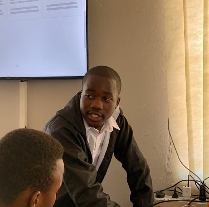
Consolation Mangena – Dam Forecasting Using EO and Machine Learning
“Letwin’s impact is showing up in real projects by young geomatics students who’ve taken what they’ve learned and run with it. DE Africa opened my eyes to what’s possible. I now see how satellite data can transform water management and how I can be part of that change.”
Consolation, a Geomatics student at Midlands State University, used Digital Earth Africa’s Water Observations from Space (WOFS) to monitor and forecast dam surface areas in Zimbabwe. By combining EO data with machine learning models, he built a system that could help water managers predict and prepare for shortages or floods without expensive fieldwork.
Ruth Chirigo – Flood Damage Assessment with DE Africa

“I used DE Africa to map flood-affected areas in Chimanimani after Cyclone Idai. The data helped identify safe zones for resettlement and supported evidence-based recovery.”
Ruth used Sentinel satellite imagery from DEA for her final-year project to assess flood impacts in Chimanimani, an area devastated by Cyclone Idai. The high-resolution maps she created helped identify affected zones and support resettlement planning.
Letwin’s vision is crystal clear: equip Africa’s youth with powerful tools and trust them to build the future. Based on what we’re seeing, that future is already taking shape, one data point, one dam, and one student at a time.