 English
  Português
  Français
  العربية
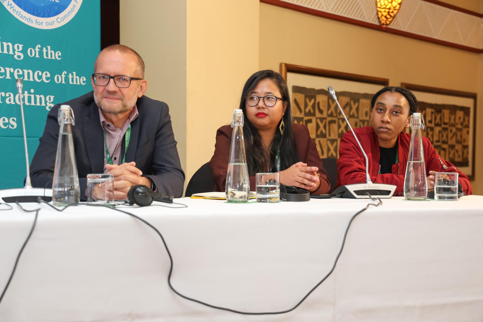
At Ramsar COP 15, returning to Africa for the first time in over two decades, Digital Earth Africa showcased how innovative Earth Observation tools are helping bridge Africa’s critical wetlands gaps.
During the side event titled “Earth Observation for Wetlands Inventory, Assessment and Monitoring,” DE Africa’s Mpho Sadiki presented on the platform’s contribution to building scalable, accessible, and locally relevant EO-based solutions. The session, hosted by Wetlands International in partnership with organisations such as JAXA, ESA, DHI, and MedWet, highlighted innovative approaches for integrating satellite data into national planning and reporting frameworks.
Tackling the Wetland Data Deficit
Wetlands are among the most productive and essential ecosystems on Earth. Yet, they remain underrepresented in national datasets and are often excluded from environmental decision-making due to their dynamic and complex nature. In many African countries, national wetland inventories have not been updated in over a decade, if they exist at all. Limited technical capacity, inconsistent access to timely data, and the absence of tailored tools continue to undermine efforts to conserve and restore wetland ecosystems.
A Workflow Built for Africa
DE Africa’s new Wetlands Monitoring Workflow is a flexible and scalable solution co-designed to meet the needs of African stakeholders. It combines Earth observation data, machine learning techniques, and ground-truthing to create annually updated wetland inventories that are adaptable to country-specific priorities.
The workflow is supported by targeted training modules on DE Africa’s learning platform, ensuring countries can adapt to their needs. This promotes country ownership and supports reporting under both the Ramsar Convention and SDG 6.6.1.
Complementary Tools and Services
DE Africa also highlighted two complementary services that strengthen wetland monitoring
- Waterbodies Monitoring Service: The first continental-scale service of its kind, tracking more than 700,000 water bodies across Africa using over four decades of satellite imagery.
- Wetland Insight Tool (WIT): Allows site-specific monitoring of wetland dynamics in real time, helping conservation agencies respond rapidly to environmental changes
Together, these services provide a strong ecosystem of support for national governments, civil society, and conservation agencies working towards sustainable wetland management.
A Global Dialogue, Grounded in Local Action
As Africa hosted Ramsar COP for the first time in over two decades, DE Africa’s participation emphasised the continent’s growing leadership in EO-driven environmental management. By placing fit-for-purpose tools and African expertise at the centre of wetland monitoring, DE Africa is helping to shift the narrative from data scarcity to data empowerment.