 English
  Português
  Français
  العربية
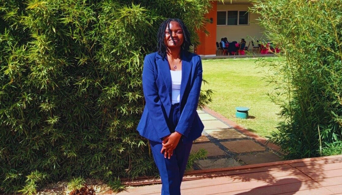
The African Women in GIS (AWiGIS) and Digital Earth Africa Mentorship Programme brings together early-career women across the continent to strengthen technical skills, mentorship networks, and leadership in geospatial science.
In 2025, Nancy Wayua was named the programme’s overall winner after her technical challenge submission stood out for its strong analytical approach and clear application of Earth observation data to environmental monitoring.
We spoke with Nancy about her background in geospatial science, her mentorship experience, and how Earth observation can support environmental management across Africa.
Can you introduce yourself and share your background in GIS and geospatial science?
My name is Nancy Wayua, a Kenyan Earth Observation and Geospatial Analytics Specialist with a background in land survey and geospatial science. I specialise in Earth observation, environmental monitoring, and spatial data analysis using platforms such as the Digital Earth Africa Sandbox and Google Earth Engine.
My work focuses on leveraging Earth observation data to support sustainable environmental management and climate resilience initiatives at regional and global scales.
What motivated you to apply for the African Women in GIS and Digital Earth Africa Mentorship Programme?
I applied to the mentorship programme because I value mentorship and representation in technical fields. The programme offered an opportunity to strengthen my Earth observation skills while learning from experienced professionals in the geospatial community.
How did the mentorship experience contribute to your technical and professional growth?
The mentorship enhanced both my technical and professional skills. I gained deeper confidence working with the Water Observations from Space (WOfS) product in the Digital Earth Africa Sandbox, and improved my ability to structure, document, and communicate geospatial analyses effectively.
Can you tell us about your technical challenge submission and the approach you used to develop it?
My project focused on mapping long-term changes in water extent using WOfS for Lake Sulunga in Tanzania.
Using WOfS Annual Summary data derived from the Landsat archive (1990–2024), I analysed water extent fluctuations over three decades. The workflow included defining a region of interest, computing annual water area in square kilometres, comparing baseline years, identifying minimum and maximum extent, and producing change maps and an animated visualisation to show trends over time.
What aspects of your submission do you believe made it stand out during the evaluation process?
The project combined long-term historical analysis, quantitative measurement of water extent, and strong visual storytelling through maps, graphs, and animation.
It linked satellite analysis directly to real-world environmental challenges such as climate variability and sustainable water management.
What did winning the AWIGIS mentorship award mean to you personally and professionally?
Winning the mentorship award was both affirming and motivating. Personally, it strengthened my confidence. Professionally, it enhanced my credibility as a young Earth observation practitioner and expanded my network within the African geospatial community.
How important are initiatives like AWIGIS in supporting women in geospatial and earth observation fields?
Initiatives like AWIGIS are essential in addressing the underrepresentation of women in geospatial science. They provide mentorship, visibility, technical exposure, and supportive networks that empower women to thrive in Earth observation and GIS careers.
What challenges do young women in GIS typically face, and how can programmes like this help address them?
Young women in GIS often face limited mentorship opportunities, confidence barriers, and underrepresentation in advanced technical roles.
Structured programmes like this help bridge these gaps by offering guidance, skill development, and strong professional networks.
How has mentorship influenced your confidence and career direction?
Mentorship has strengthened my confidence in handling complex geospatial workflows and clarified my career direction toward advanced Earth observation analytics and environmental monitoring.
What advice would you give to other early-career women aspiring to build careers in GIS and earth observation?
Stay curious, build hands-on projects, document your work, and seek mentorship. Do not wait until you feel completely ready. Growth comes from taking initiative and applying for opportunities.