 English
  Português
  Français
  العربية
 Digital Earth Africa
Sentinel-2
A New Era of Environmental Monitoring
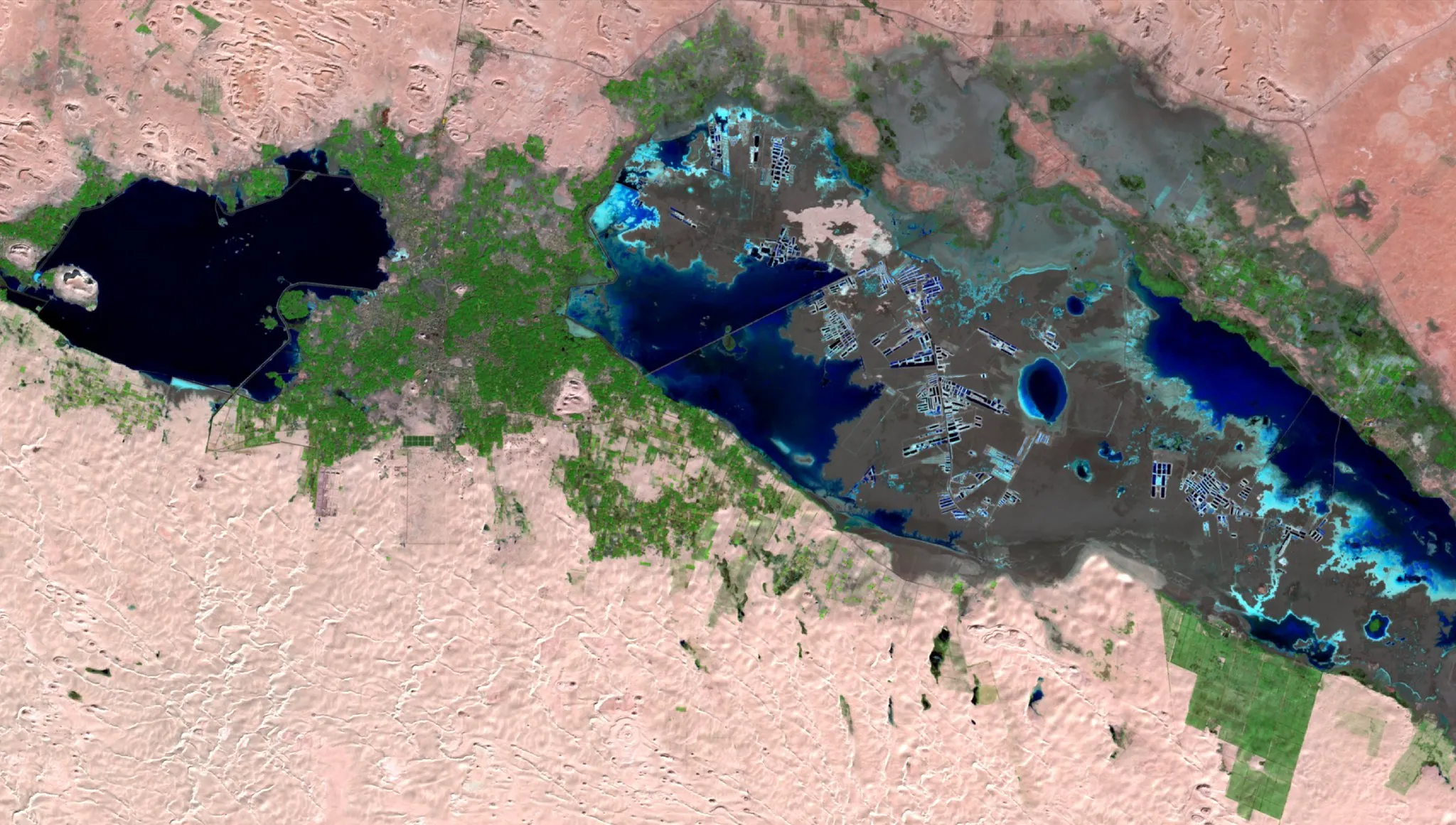
Digital Earth Africa provides data from images captured by the European Commission’s Copernicus Sentinel-2 satellites. The twin Sentinel-2 satellites, launched in 2015 and 2017, provide multi-spectral optical observations at a spatial resolution of up to 10 metres. Since early 2018, the pair of satellites have been acquiring images over most of the land surface every five days. This creates a time-deep data resource that can be used to inform a variety of services.
We provide a time-series of Sentinel-2 data from 2017 onwards, making available over 1.5 million scenes of data over Africa. The data is routinely updated, so anyone across Africa can use it to actively monitor changes to the environment and manage food and water resources.
Through partnerships, Digital Earth Africa (DE Africa) provides this dataset in Cloud Optimised GeoTIFFS (COGs) – an open cloud native format that enables greater accessibility for users.
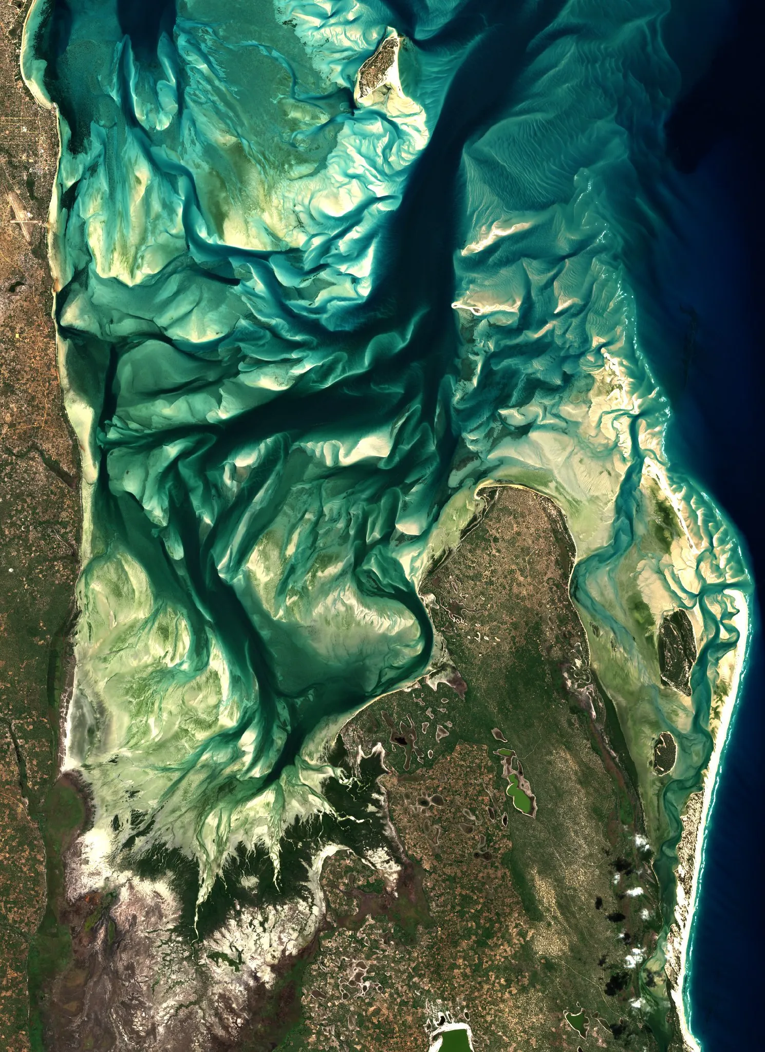
Sentinel-2 image of the Bazaruto Archipelago, Mozambique. See our gallery for more Sentinel-2 imagery from DE Africa.
Resources
-
Visit Digital Earth Africa Docs for more information on Sentinel-2 Level-2A Surface Reflectance.
-
Explore the data in the Digital Earth Africa Sandbox or Map.
-
Sentinel-2 data is used to create the GeoMAD and as input to other Digital Earth Africa Continental Services.