 English
  Português
  Français
  العربية
 Digital Earth Africa
Landsat
Landsat: Insights for a Sustainable Future
CEOS ARD surface reflectance and surface temperature data from Landsat 5, 7, 8, and 9 are accessible through Digital Earth Africa. These datasets provide multi-spectral information at 30-metre spatial resolution, covering observations from 1984 to the present.
Landsat data is open and accessible to all users.
Monitoring crops in Egypt from 1990 to 2020 using Landsat in RGB and NDVI.
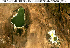
Monitoring Rangelands
Helps to preserve this essential terrain and provide a key input for optimising agricultural practices and wildlife conservation efforts.
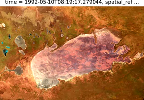
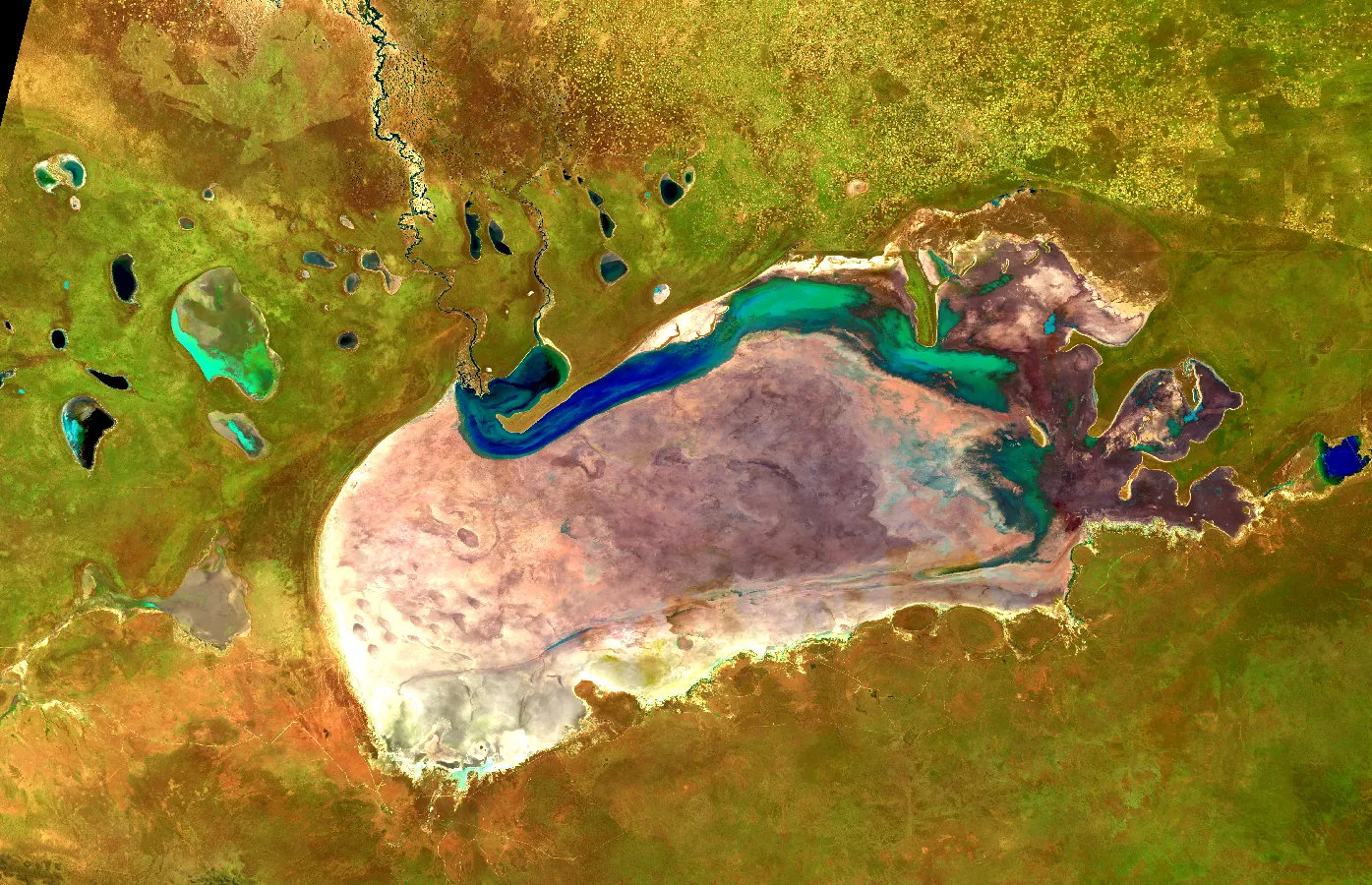
Measuring water on rangelands in Etosha National Park, Namibia 1992-2021, Landsat, False Colour
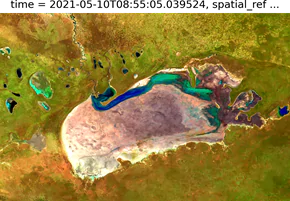
Studying Water Over time
Provides crucial information on factors like the extent and quality of water bodies which are vital inputs for effective water management.
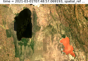
Measuring water quality and extent in Lake Elmenteita and Lake Nakuru, Kenya 1985-2021, Landsat, RGB
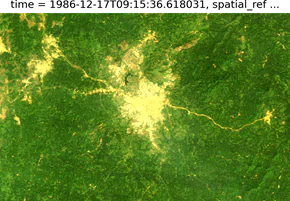
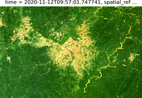
Measuring Urbanisation
Shows how cities have grown over time and their effects on the landscape around them. By combining urbanisation data with factors like water extent, decision makers can plan cities to be more sustainable, improving the quality of life of those living in them, and minimising the impact on the natural environment.
Measuring water quality and extent in Lake Elmenteita and Lake Nakuru, Kenya 1985-2021, Landsat, RGB
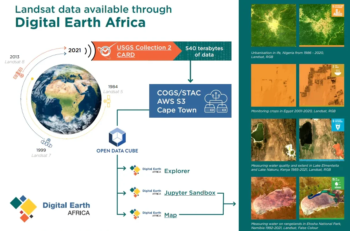
Resources
Visit Digital Earth Africa Docs for more information on Landsat Surface Reflectance and Landsat Surface Temperature.
Explore the data in the Digital Earth Africa Sandbox or Map.
Landsat data is used to create the Water Observations from Space and support other services provided by DE Africa.