 English
  Português
  Français
  العربية
 Digital Earth Africa
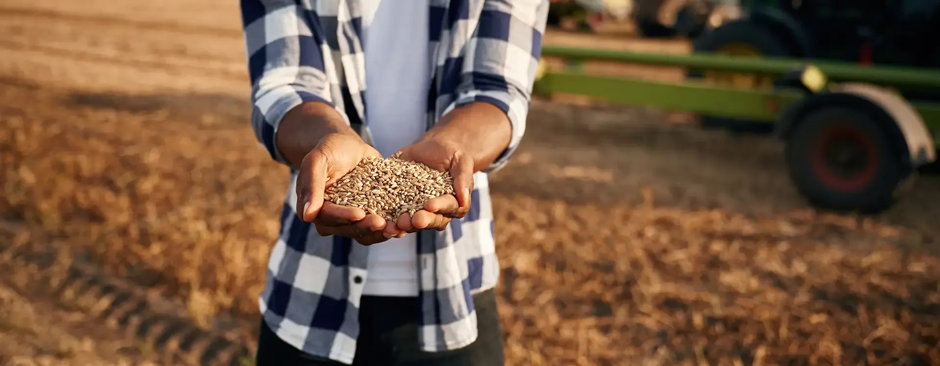
Agriculture and Food Security
The Challenge
Advancing Food Security in Africa
Africa is home to 75 million people who are acutely food-insecure, in crisis, or worse. This number continues to grow faster than anywhere else in the world. To meet future food production needs, Africa’s crop production will need to double by 2050.
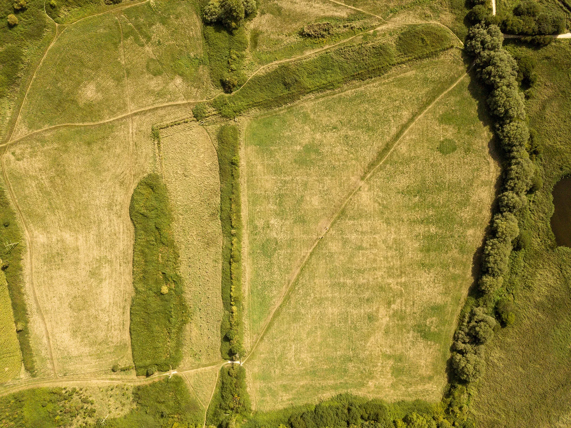
Weather extremes remain a major driver of food insecurity in Africa, affecting crops, livestock, and market access. Smallholder farmers, who form the backbone of agricultural production, often lack the necessary infrastructure and resources to recover from environmental shocks. Additionally, pastoralists depend on rain-fed rangeland, making them particularly vulnerable to climate variability.
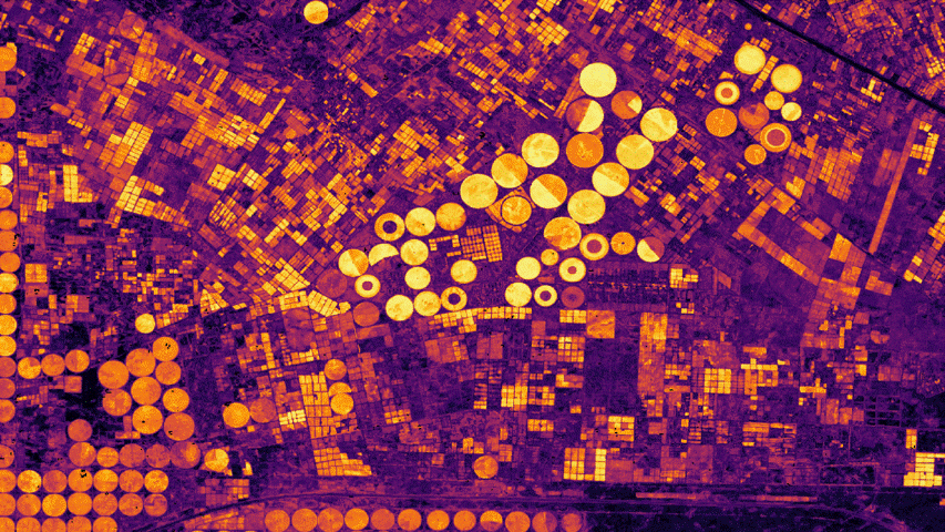
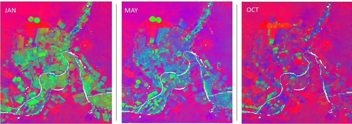
Probability of cropping in the Nile Delta, with yellow indicating crops, processed by Digital Earth Africa.
The Solution
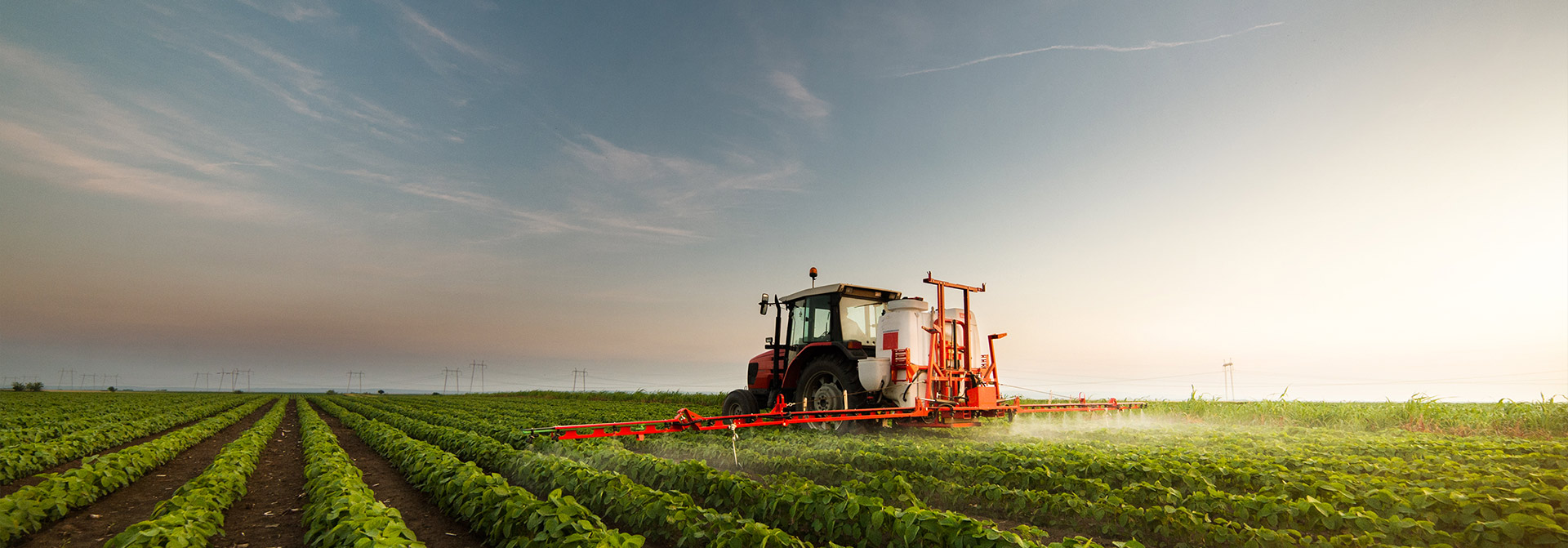
Earth Observation for Smarter African Agriculture
Digital Earth Africa’s earth observation data and services can provide insights into various aspects of crop production, resource management, and climate change impacts, supporting informed decision-making, optimising resource use, and managing risks in the agriculture sector.
Data and Digital Infrastructure
Through Digital Earth Africa’s data and digital infrastructure, both technical and non-technical users are able to identify the location of agricultural areas, understand crop health over time, and identify changes in growth patterns.
Satellite Sensors and Spatial Data
Developed through a pan-African network of partners, Digital Earth Africa’s agriculture focused continental services and workflows draw upon a range of satellite sensors and other spatial data and are designed to accommodate the unique and diverse nature of agricultural systems across Africa.
Mapping
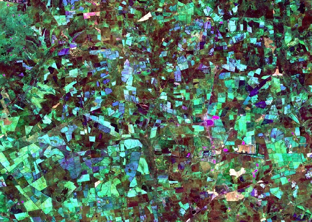
Digital Earth Africa provides a Cropland Extent Map for 2019, derived from the Digital Earth Africa high-quality geomedian images.
The map shows the extent of agricultural land and can be used to set boundaries in agricultural monitoring workflows.
Digital Earth Africa has also worked with Implementing Partners to develop crop type mapping workflows. The Cropland Extent Map and crop type mapping workflows enable monitoring of agricultural production
Monitoring
Digital Earth Africa’s data provides a reliable means of monitoring agricultural production dynamics, which in turn can improve agricultural planning.
A range of analysis tools and workflows have been developed by Digital Earth Africa to enable monitoring of agricultural lands, including addressing crop health, soil and water management, and extreme events.
Digital Earth Africa continues to work with a range of users on agricultural monitoring workflows applicable to defined agricultural systems and regions.
Implementation
Mapping and monitoring of agriculture is implemented by Digital Earth Africa in partnership with a range of users from Ministries of Agriculture across the continent, regional institutions and farming communities.
This forms a large component of our capacity development efforts with a dedicated Agriculture and Food Security module available through the Digital Earth Africa learning platform.
The Impact
Action-based Agricultural Insights
March 4, 2026
DE Africa and Sôlt Africana collaborate to strengthen agricultural verification and EUDR compliance

January 27, 2026
Lebogang explores non-perennial rivers and food security through Earth observation
Related Topics
Cropland Extent Map
A provisional service for the cropland extent map is now available on the Digital Earth Africa Map. It covers the entire African continent, including Madagascar, Mauritius, Reunion and Comoros.
Fractional Cover
Fractional Cover is a powerful analysis service that describes the landscape by providing a classification of ground cover. It shows representative values for the proportion of bare, green and non-green cover on the Earth’s surface.
GeoMAD
GeoMAD offers more than just high-quality image production; it’s an invaluable tool for analysing changes over specific time periods.