 English
  Português
  Français
  العربية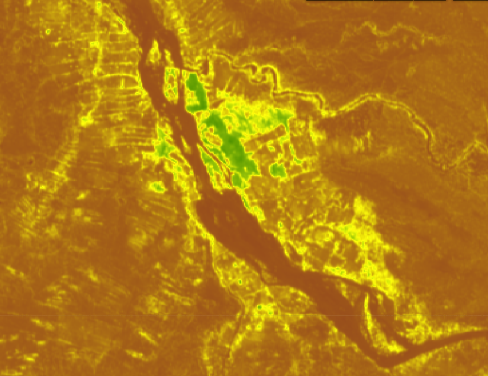
Staff from three Somaliland ministries are strengthening their ability to use Earth observation data to support agricultural monitoring, water management, climate resilience and food security following a four-day training series delivered by Digital Earth Africa. Held on 14, 15, 21 and 22 September 2026, the training brought together technical staff, scientists and decision-makers from the Ministry of Agricultural Development, the Ministry of Environment and Climate Change, and the Ministry of Livestock and Rural Development.
The training was designed to move participants from understanding Earth observation concepts to applying satellite data and cloud-based tools to real-world challenges in Somaliland.
From satellite imagery to agricultural insights
The agriculture-focused sessions demonstrated how satellite data can show changes in vegetation and crop conditions over time. Using Sentinel-2 and Landsat imagery, participants mapped cropland and analysed seasonal vegetation dynamics. They calculated vegetation indices including the Normalised Difference Vegetation Index (NDVI) and Enhanced Vegetation Index (EVI), and explored vegetation phenology to better understand crop development.
The training also demonstrated how Sentinel-1 Synthetic Aperture Radar (SAR) can complement optical imagery where cloud cover limits observations during rainy periods.
Participants applied these skills through collaborative ministry-based projects, running vegetation phenology workflows and producing spatial NDVI animations for selected agricultural areas in Somaliland. The practical exercises provided an opportunity to move from theoretical understanding to hands-on data analysis in the DE Africa Sandbox.
Strengthening water and flood monitoring
The final training session focused on water resources and flood risk monitoring.
Participants used DE Africa’s Water Observations from Space (WOfS) dataset alongside Sentinel-2 imagery to examine how surface water changes across seasons. They explored the difference between permanent water bodies, ephemeral streams and rangeland water points, providing a basis for understanding the distribution and dynamics of surface water.
Using Sentinel-1 SAR imagery, participants also practised mapping flood inundation following heavy rainfall. The session further introduced surface water volume modelling and dam capacity dynamics, applications that can contribute to early warning and water security efforts.
Taking the learning forward
The training marks a step towards strengthening the use of Earth observation and cloud-based analytics within Somaliland’s public institutions. Participants will continue working on their practical group projects before presenting their results. The next phase will also involve securing precise GPS coordinates for selected water points and agricultural sites. These reference locations will support high-resolution validation and help refine longer-term monitoring workflows across Somaliland.
By combining satellite observations with local knowledge and field-based validation, the initiative is laying the groundwork for more consistent, evidence-based monitoring of agriculture, water resources and climate-related risks across Somaliland.