 English
  Português
  Français
  العربية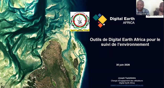
In a lecture hall at the Joseph Ki-Zerbo University in Burkina Faso, 81 students, researchers, and faculty spent a June morning learning how to access, visualise, and analyse continental-scale Earth observation data, using DE Africa platforms. DE Africa’s Joseph Tuyishimire led the training session, whose goal was to show researchers how to turn continental-scale satellite data into answers for the questions they are already asking about water, land, and cities in Burkina Faso.
For many participants, the workshop was a first encounter with analysis-ready Earth observation data at this scale. DE Africa’s platform processes Sentinel and Landsat imagery by correcting for cloud cover, radiometric distortion, and geometric error, so that researchers can skip months of pre-processing and move straight to analysis. With support for English and French, the platform is built to serve government agencies, researchers, and civil society across language and institutional lines.
Tuyishimire talked through the platform, working live in the DE Africa Map and Sandbox environments. He walked participants through setting up their own accounts, then into the notebooks themselves, tracking lake levels in Burkina Faso, reading crop health through spectral signatures, forecasting vegetation with time-series models, and mapping how towns and degraded land spread over time. By the end, a hydrologist and an urban planner in the same room had touched the same dataset, just asking it different questions.
The questions that followed said as much about the room as the platform. Several participants wanted to know when groundwater and gravimetric data might show up, a service not yet available, but a clear signal of where their research priorities sit. Others wanted to know where DE Africa fits next to tools they already use, like QGIS or Earth Explorer. The session clarified that DE Africa complements, rather than compete with these tools offering pre-processed, analysis-ready data and direct access to DE Africa’s scientific team. There were practical questions too. Participants confirmed that the data could travel into other GIS software once exported.
Sessions like this one are how Digital Earth Africa’s mission moves from infrastructure to impact, by making satellite data available and usable by the people closest to the problems it can help solve. Eighty-one participants now have a working knowledge of a platform that puts continental-scale Earth observation directly into their hands. A small but meaningful step toward a generation of African researchers who see satellite data as a standard part of their toolkit.