 English
  Português
  Français
  العربية
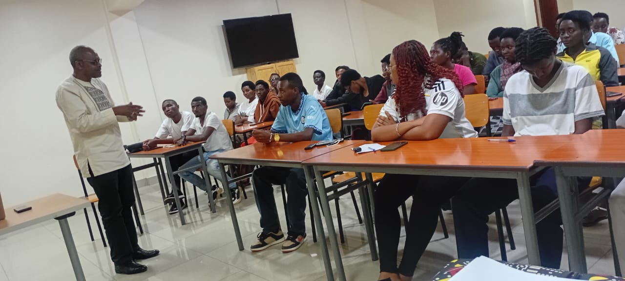
Digital Earth Africa (DE Africa) and the Catholic Institute of Kabgayi (ICK) are working together to strengthen the use of Earth observation technologies in environmental planning and resource management in Rwanda.
Through an online training session held on 28 January 2026, DE Africa introduced 40 students from ICK’s Department of Environmental Management to practical applications of satellite data for real-world decision-making. The session focused on how Earth observation tools can be used to address challenges in areas such as water resources, agriculture, urban growth and land management.
Building practical skills with open data
Digital Earth Africa provides routine, reliable and operational Earth observation services to support governments, researchers, the private sector and civil society across the continent.
During the session, students were introduced to the DE Africa Maps platform and the Sandbox environment. Demonstrations focused on:
- Monitoring surface water extent, including flood dynamics
- Assessing urban growth and expansion
- Detecting and analysing land degradation
- Evaluating vegetation change over time
The hands-on exercises gave participants their first experience working directly with live satellite data, moving beyond theory into practical, command-based analysis for environmental assessment.
Strengthening Rwanda’s geospatial capacity
The collaboration positions ICK among higher learning institutions in Rwanda equipping students with practical skills in free and open-source geospatial technologies. The training reflects a shared commitment to preparing graduates who can use data to support environmental planning and national development goals.
Father Dr. Prudence Bicamumpaka, Deputy Vice Chancellor for Academic and Research, and Mr. Ildephonse Nkiliye, Head of the Environmental Management Department, emphasized the importance of hands-on training and welcomed continued collaboration, with discussions underway toward a formal partnership.
Participants were also encouraged to continue building their expertise through the DE Africa online learning platform.
From data to decision-making
As pressure on land, water resources and growing urban areas continues across the region, the ability to interpret satellite data is becoming an essential skill for environmental professionals. By combining open satellite data with accessible analytical tools, institutions such as ICK are preparing students to make evidence-based decisions that support resilient landscapes and communities.
Through partnerships like this, Digital Earth Africa continues to support universities across the continent in moving from geospatial theory to practical, decision-ready skills.