 English
  Português
  Français
  العربية
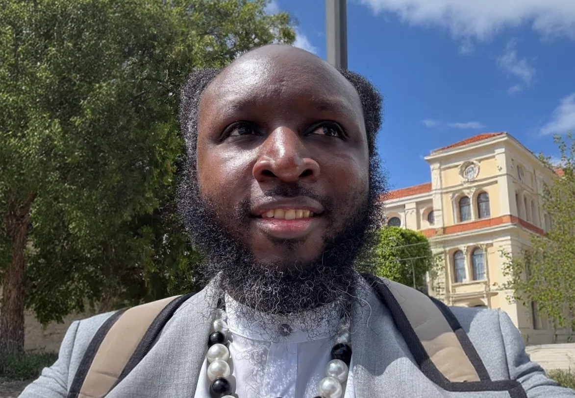
Prof. Anselme Muzirafuti is a Rwandan geomatics and hydro-geophysics expert based at the University of Messina in Italy, where he works at the intersection of structural geology, geomatics, and applied geophysics for sustainable territorial management. With experience mapping Moroccan and Italian coasts using remote sensing, he turned his attention to Africa’s shorelines after noticing how underrepresented they were in recent geomorphology research. Digital Earth Africa’s Coastlines product, with its continental annual shoreline records from 2000 to 2023, provided exactly the kind of consistent, high-quality dataset he needed. In this Q&A, Prof. Muzirafuti explains how he used DE Africa to derive a long-term shoreline trend indicator for MetroSea 2025, what the results mean for the millions of people living near low-lying coasts, and why he believes young African researchers should dive into DE Africa’s open data.
Briefly describe your academic background and research focus
My name is Prof. Anselme Muzirafuti, I am from Rwanda and I work at the University of Messina, Department of Mathematics, Computer Sciences, Physics and Earth Sciences; (Via F. Stagno d’Alcontres, 31–98166 Messina, Italy) (https://orcid.org/0000-0002-3563-9264 ).
I hold a master’s degree in Applied Geophysics and Geology Engineering obtained from University of Moulay Ismail, Meknes (Morocco), and a PhD in Hydro-geophysics obtained from the same University. I have also achieved the National Scientific qualification as Associate Professor in the Italian higher education system, in the call 2021/2023 (Ministerial Decree n. 553/2021 and 589/2021) for the disciplinary field of 04/A3 Engineering geology, physical geography and geomorphology.
My research interest mainly focuses on the use of Structural Geology, Geomatics and Applied Geophysics for sustainable management of territories. I worked on different projects, on Moroccan and Italian coastlines, related to geomorphological mapping and surveys using remotely sensed images.
Currently, I am serving as Guest Editor of MDPI Remote Sensing (ISSN: 2072-4292), and Sensors (ISSN: 1424-8220) journals. I am also a Guest Associate Editor of Coastal Ocean Processes of Frontiers in Marine Science (ISSN:2296-7745) journal.
What first led you to Digital Earth Africa, and why did you decide it was the right platform for your coastline research?
Recently, we published an ebook on Geomorphology in the Digital Era (https://doi.org/10.3390/books978-3-7258-3275-0) in the MDPI Applied Science (ISSN: 2076-3417) journal. In this book, the African coastline was not represented. We only published one article on the work conducted on the coast of South Africa. So, I was curious to learn about the situation on the least developed coastlines of Africa. While there are other datasets containing information on global coastline evolution, Digital Earth Africa provides very high-quality coastline products with impressive spatial-temporal resolutions. These products are fit for multiple purposes, not only scientific. They allow Earth Observation technologies to be experienced even by a resident.
In simple terms, what was the main goal of your MetroSea 2025 study using DE Africa Coastlines?
Coastal regions are vital to economic growth, housing a significant portion of the nation’s population and serving as key centres for economic and infrastructural developments. Approximately 10% of the world’s population lives within 5 km of the coast, while 5% reside between 5 and 10 km. This proximity increases coastal vulnerability to risks such as storm surges and coastal erosion. It is worth noting that these threats intensify with climate change. Despite significant efforts to assess and monitor anthropogenic and natural phenomena in coastal areas, many African coastal regions remain understudied, facing unprecedented challenges that demand advanced investigative approaches to monitor the dynamics of the coastlines.
Why is monitoring long-term shoreline change so important for Africa, and what makes the continent’s coasts unique or especially vulnerable?
Coastlines are diverse; they are rocky, sandy, biological, and artificial. Such diversities prohibit the use of traditional coastal monitoring methods. Especially due to constraints from spatial and temporal resolutions. So, with the current changes in the climate systems, it is important to monitor the African coastlines and evaluate the shoreline long-term behaviour, especially by using Earth Observation technologies. Such information allows for the assessment of the past, present and the prediction of the future shoreline positions and their impacts on coastal infrastructures.
How did you use the DE Africa Coastlines product in this work?
While DE Africa Coastlines products contain robust point-based shoreline information. In this research study, we were interested in cross-shore annual shoreline positions. By regression modelling approaches, we evaluated the long-term trend of the shoreline positions at every 30 meters. Such analysis was conducted by taking into account all shorelines (from 2000 to 2023) for Linear Regression Rates (LRR) calculation, but also by considering the recent (2023) and the oldest (2000) shorelines for End Point Rates (EPR) calculation. These two models allowed us to identify areas where the shoreline is retreating or recovering.
Which Digital Earth Africa tools or datasets were most critical for your analysis, and why? (Feel free to mention specific products, time periods, or features.)
In this study, we analysed the Digital Earth Africa coastlines products version V0.4.2 by performing the regression modelling to calculate the long-term shoreline trend indicator. These products are continental datasets from 2000 to 2023. They include annual shoreline shapefiles (polylines) and shoreline rates of coastal changes (vector file points) along the entire African coastline. The products combine satellite data from the DE Africa program with tidal modelling to map the typical location of the coastline at mean sea level for each year.
What was the most surprising or important finding from your study, especially regarding communities living within 1 km of low-lying shoreline?
The results indicated that Africa’s coastlines have been both retreating and advancing. Such processes impacted the African population of about 709,775 living within 1 km of the shoreline and low-lying flat areas.
From your perspective, what are the main challenges in using EO data for coastal erosion monitoring in Africa, and how could platforms like DE Africa help address them?
As I mentioned above, the main challenges in using EO for continental coastal studies are the coastlines diversities, limitations related to spatial/temporal resolution, lack of ground-truth data and sensor-specific biases. New and advanced platforms should explore how the use of artificial intelligence can be adopted to generate and analyse super-resolution images, such as Sentinel-2 deep resolution, which have an improved spatial (1m) and temporal (3-5 days) resolution.
If you could request one new feature, product, or improvement from Digital Earth Africa to support your future coastal research, what would it be and why?
Further improvement of the point-based analyses should include and explore how the spatial patterns of erosion and accretion are related to regional oceanographic and meteorological drivers, such as wave height, wave exposure, prevailing currents and tidal range. Such information is highly important for the interpretation and prediction of these geological processes.
What advice would you give to a young African researcher who wants to use Digital Earth Africa data for coastal or climate-related studies?
Digital Earth Africa has enormous amounts of potential and enormous amounts of information which need to be explored and discussed. As these datasets are open, I would advise young African researchers to seize this opportunity and publish more scientific research studies. You may conduct calibration and validation assessments, you may conduct some case studies, you may also propose new methodological approaches analysing these data…There are many scientific results and knowledge that you can obtain from DE Africa data, and we are here to help you present them to the scientific community.