 English
  Português
  Français
  العربية
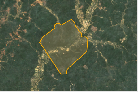
Learn more about using Digital Earth Africa to monitor land degradation in Apamprama Forest Reserve, Ghana using satellite data accessed through the DE Africa Open Data Cube.
https://storymaps.arcgis.com/stories/ee94165e139e4754a8182b5eb38c27b8?cover=false